Youlgrave in the Domesday Book (1086)
Youlgrave is named in the Domesday Book, compiled by Norman commissioners in 1086, entered under the hundred of Blackwell in Derbyshire.
Other Settlements in Blackwell
- Abney
- Ashford [-in-the-Water]
- Aston
- Bakewell
- Bamford
- Baslow
- Beeley
- Birchills
- Birchover
- Blackwell
- Bradwell
- Bubnell
- Burley
- Burton
The Meaning of the Name
The origin of the name Youlgrave is not securely established from its modern form alone; like many settlement names in the North it likely combines an Old English or Old Norse personal name with a landscape term.
Remarkably, the name has changed little since 1086, when the Domesday scribes wrote it as Youlgrave.
Listed Buildings Near Youlgrave
Historic England records 55 listed buildings within about a mile of Youlgrave. Listing protects structures of special architectural or historic interest, graded I (exceptional), II* (particularly important) and II.
Grade I
- Church of All Saints - 0.4 km
Grade II
- Raenstor Close and Attached Garage - 0.06 km
- Garden Walls, Pergola and Gatepiers to Raenstor Close - 0.09 km
- Lodge, Stableblock and Outbuilding to Raenstor Close - 0.11 km
- Obelisk to 15 Metres North of Chancel of All Saints Church - 0.29 km
- All Saints School and School House - 0.34 km
- Eastern Gates, Steps and Walls to All Saints Churchyard - 0.37 km
- Ivy Cottage - 0.38 km
- Linden Cottage - 0.39 km
- Sundial 10 Metres South West of All Saints Church Porch - 0.4 km
- Woodside View - 0.41 km
- Lathkill House Farmhouse - 0.41 km
- Packhorse Bridge Over River Bradford 120 Metres South East of Braemar House - 0.43 km
- Western Gatepiers and Gates to All Saints Churchyard - 0.43 km
- Cottage Attached to East of no 5 Church Street - 0.44 km
- No 1 and Attached Railings - 0.44 km
- Nos 3 and 5 and Garden Railings - 0.45 km
- Lathkill House and Attached Railings and Garden Walls - 0.46 km
- Auburn House and Attached Railings - 0.47 km
- Monks Hall and Cottage and attached garden walls and gatepiers - 0.47 km
- The Cottage - 0.48 km
- Turret House and Attached Railings - 0.49 km
- The Vicarage - 0.5 km
- Bradford House the Cottage - 0.5 km
…and 31 more listed structures in the area.
Scheduled Monuments Near Youlgrave
Scheduled monuments are nationally important archaeological sites given legal protection. 4 lie within roughly a mile of Youlgrave:
- Alport smelt mill - 0.85 km
- Bowl barrow on Haddon Fields - 0.9 km
- Conksbury deserted medieval settlement - 1.23 km
- Meadow Place bowl barrow - 1.47 km
Youlgrave Today
Today Youlgrave lies within the administrative area of Derbyshire Dales, and the settlement recorded a population of 1,028 at the 2021 census. Nine and a half centuries separate that figure from the small rural community the Domesday survey recorded here in 1086.
Read more about modern Youlgrave on Wikipedia .
Nearby Domesday Settlements
Other places recorded in the 1086 survey within a few miles:
- Harthill - 1.0 km E
- Conksbury - 1.0 km N
- Middleton - 2.2 km SW
- Nether and Over Haddon - 2.2 km NW
- Birchover - 2.8 km SE
- Stanton -in-Peak - 3.0 km E
Heritage Around Youlgrave
Photographs of churches, listed buildings and monuments in the vicinity, contributed by volunteers to the Geograph project and reused here under a Creative Commons licence.
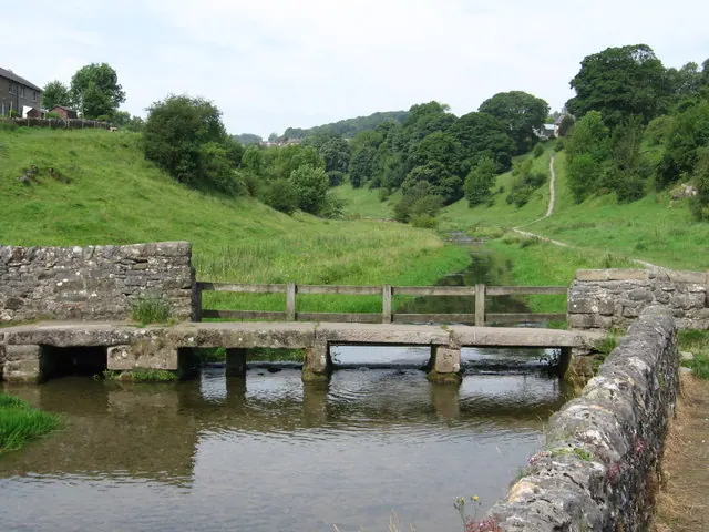
© Dave Bevis · Geograph · CC BY-SA 2.0
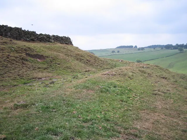
© Mark Kelly · Geograph · CC BY-SA 2.0
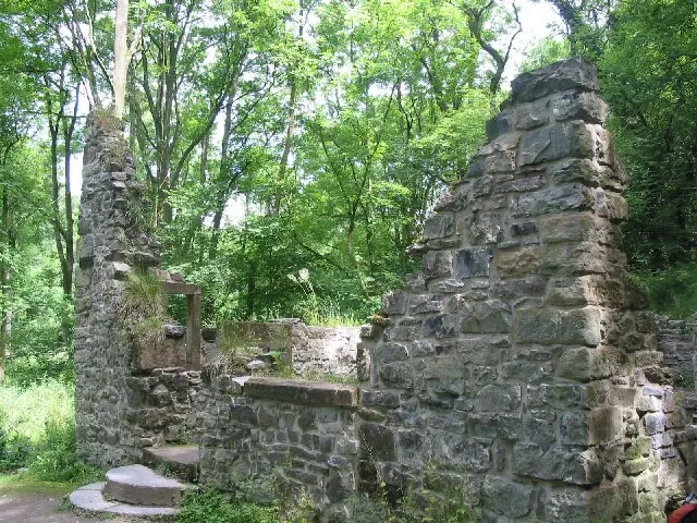
© Dennis Thorley · Geograph · CC BY-SA 2.0
Images © their respective photographers, licensed under CC BY-SA 2.0 and reused here with attribution. Photographs depict listed buildings, churches and monuments near this settlement and may show neighbouring villages.
Data derived from the Open Domesday project (opendomesday.org), based on the Domesday Book dataset compiled by Professor J.J.N. Palmer and team. The Domesday Book (1086) is in the public domain.
Found an inaccuracy? [email protected]