York in the Domesday Book (1086)
The 1086 Domesday survey records the settlement of York, entered under the hundred of York in DEV. The survey assessed York at 0.5 carucates of taxable land.
At the time of the survey, York supported a recorded population of 6 villagers, 4 smallholders, 1 slave, working 2 ploughs between them.
The survey records York’s value at 10d in 1086. No pre-Conquest figure survives – not unusual in the North, where records were disrupted by the Harrying and by the patchy coverage of the survey.
Resources Recorded at York (1086)
- Meadow: 0.5 acres
- Woodland: 2 acres
Other Settlements in York
The Meaning of the Name
The origin of the name York is not securely established from its modern form alone; like many settlement names in the North it likely combines an Old English or Old Norse personal name with a landscape term.
Remarkably, the name has changed little since 1086, when the Domesday scribes wrote it as York.
Listed Buildings Near York
Historic England records 956 listed buildings within about a mile of York. Listing protects structures of special architectural or historic interest, graded I (exceptional), II* (particularly important) and II.
Grade II*
- Middleton House - 0.16 km
Grade II
- 37, Monkgate - 0.11 km
- 39, Monkgate - 0.11 km
- 15, Penleys Grove Street - 0.12 km
- 17, Penleys Grove Street - 0.12 km
- 29 and 31, Penleys Grove Street - 0.12 km
- University College of Ripon and York St John School Building - 0.12 km
- Tap and Spile Public House - 0.13 km
- 55, Monkgate - 0.14 km
- Numbers 45-51 (Odd) and Attached Walls and Railings - 0.14 km
- 19 and 21, Monkgate - 0.14 km
- 46, Monkgate - 0.16 km
- 48, Monkgate - 0.16 km
- Gate, Forecourt Wall and Railings to Number 55 - 0.16 km
- 57 and 59, Monkgate - 0.16 km
- 36, Monkgate - 0.16 km
- 40, Monkgate - 0.16 km
- 42, Monkgate - 0.16 km
- Monkgate House - 0.16 km
- 24, Lord Mayors Walk - 0.16 km
- 26, Lord Mayors Walk - 0.16 km
- 28, Lord Mayors Walk - 0.16 km
- 30, Lord Mayors Walk - 0.16 km
- 32, Lord Mayors Walk - 0.16 km
…and 932 more listed structures in the area.
Scheduled Monuments Near York
Scheduled monuments are nationally important archaeological sites given legal protection. 12 lie within roughly a mile of York:
- York Minster cathedral precinct: including Bootham Bar and the length of City Walls extending round the precinct up to Monk Bar - 0.34 km
- Jewbury Medieval Jewish Cemetery - 0.35 km
- Medieval stone town house known as The Norman House to the rear of Nos 48 and 50 Stonegate - 0.52 km
- St Peter’s Hospital, part of undercroft beneath the Theatre Royal - 0.59 km
- St Mary’s Abbey precinct walls - 0.68 km
- South angle tower of Roman fortress - 0.72 km
- Merchant’s Hall, Fossgate - 0.77 km
- St Mary’s Abbey - 0.78 km
- City Walls, gates, posterns (not including the section from Bootham Bar to Monk Bar, N of the Minster, now part of National Monument No 13280), moats, mounds, Bayle (or Baile) Hill, St Leonard’s Hospital and Merchant Taylor’s Hall, Aldwark - 0.97 km
- York Castle: motte and bailey castle, tower keep castle (including Clifford’s Tower), and site of part of Romano-British fort-vicus and Anglian cemetery - 1.05 km
…and 2 more.
Nearby Domesday Settlements
Other places recorded in the 1086 survey within a few miles:
- Heworth - 1.0 km E
- Clifton - 1.4 km NW
- Heslington - 2.8 km SE
- Gate Fulford - 3.0 km S
- Acomb - 3.2 km W
- Osbaldwick - 3.2 km E
Heritage Around York
Photographs of churches, listed buildings and monuments in the vicinity, contributed by volunteers to the Geograph project and reused here under a Creative Commons licence.
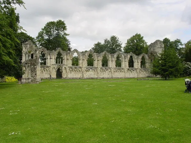
© Lyall Duffus · Geograph · CC BY-SA 2.0
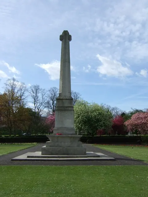
© Stanley Howe · Geograph · CC BY-SA 2.0
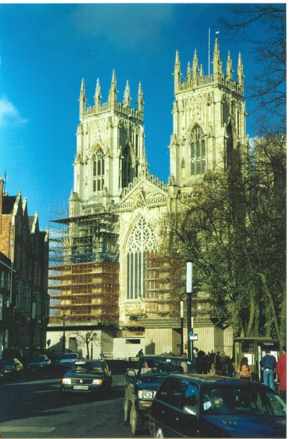
© Ron Hann · Geograph · CC BY-SA 2.0
Images © their respective photographers, licensed under CC BY-SA 2.0 and reused here with attribution. Photographs depict listed buildings, churches and monuments near this settlement and may show neighbouring villages.
Data derived from the Open Domesday project (opendomesday.org), based on the Domesday Book dataset compiled by Professor J.J.N. Palmer and team. The Domesday Book (1086) is in the public domain.
Found an inaccuracy? [email protected]