Yeldersley in the Domesday Book (1086)
Yeldersley is named in the Domesday Book, compiled by Norman commissioners in 1086, entered under the hundred of Appletree in Derbyshire.
Other Settlements in Appletree
- Alkmonton
- Ashe
- Aston
- Barton [Blount]
- Bentley
- Boylestone
- Bradley
- Brailsford
- Bupton
- Clifton
- Doveridge
- Eaton [Dovedale]
- Edlaston
- Ednaston
The Meaning of the Name
The name Yeldersley is of Anglo-Saxon origin. Its final element derives from the Old English word lēah, a woodland clearing or glade. The first element is most likely a personal name or an early descriptive term, now difficult to recover with certainty. Taken together the name probably meant something close to ‘a clearing’.
Remarkably, the name has changed little since 1086, when the Domesday scribes wrote it as Yeldersley.
Listed Buildings Near Yeldersley
Historic England records 21 listed buildings within about a mile of Yeldersley. Listing protects structures of special architectural or historic interest, graded I (exceptional), II* (particularly important) and II.
Grade II*
- Church of St Martin - 0.79 km
Grade II
- Thatched Cottage - 0.46 km
- The Lodge at Yeldersley Hall - 0.5 km
- Dog Kennels at Yeldersley Hall - 0.52 km
- Stable block at Yeldersley Hall - 0.52 km
- Yeldersley Hall - 0.55 km
- War Memorial South West of Church of St Martin - 0.83 km
- Keeper’s Cottage - 0.83 km
- Osmaston Primary School and Attached House - 0.86 km
- Stone Cottages - 0.9 km
- Outbuilding 5 Yards South East of Eastside Cottages - 0.94 km
- Osmaston Park Farmhouse - 0.94 km
- Outbuilding 5 Yards North East of Eastside Cottages - 0.94 km
- K6 Telephone Kiosk - 0.94 km
- Eastside Cottages - 0.95 km
- Park View Cottage - 0.97 km
- Elm Tree Cottage - 0.98 km
- North Lodge and Attached Gateway at Osmaston Park - 1.04 km
- Mile Post at Os 212435 - 1.08 km
- Barn at the Firs Farm - 1.09 km
- Laundry Cottage - 1.2 km
Yeldersley Today
Today Yeldersley lies within the administrative area of Derbyshire Dales, and the settlement recorded a population of 210 at the 2021 census. Nine and a half centuries separate that figure from the small rural community the Domesday survey recorded here in 1086.
Read more about modern Yeldersley on Wikipedia .
Nearby Domesday Settlements
Other places recorded in the 1086 survey within a few miles:
Heritage Around Yeldersley
Photographs of churches, listed buildings and monuments in the vicinity, contributed by volunteers to the Geograph project and reused here under a Creative Commons licence.
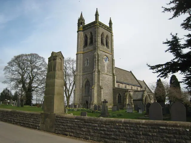
© David Stowell · Geograph · CC BY-SA 2.0
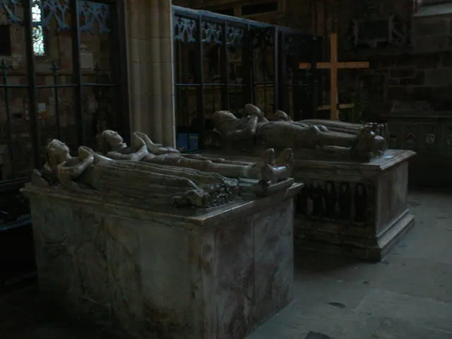
© Eirian Evans · Geograph · CC BY-SA 2.0
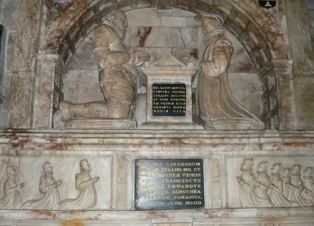
© Eirian Evans · Geograph · CC BY-SA 2.0
Images © their respective photographers, licensed under CC BY-SA 2.0 and reused here with attribution. Photographs depict listed buildings, churches and monuments near this settlement and may show neighbouring villages.
Data derived from the Open Domesday project (opendomesday.org), based on the Domesday Book dataset compiled by Professor J.J.N. Palmer and team. The Domesday Book (1086) is in the public domain.
Found an inaccuracy? [email protected]