Yearsley in the Domesday Book (1086)
The 1086 Domesday survey records the settlement of Yearsley, entered under the hundred of Yarlestre in Yorkshire.
Other Settlements in Yarlestre
- Arden [Hall]
- Asenby
- Bagby
- Baxby
- Bergebi
- Berghebi
- Bernebi
- Boltby
- Breckenbrough
- Carlton [Husthwaite]
- Carlton [Miniott]
- Catton
- Coxwold
- Crakehill
The Meaning of the Name
The name Yearsley is of Anglo-Saxon origin. Its final element derives from the Old English word lēah, a woodland clearing or glade. The first element is most likely a personal name or an early descriptive term, now difficult to recover with certainty. Taken together the name probably meant something close to ‘a clearing’.
Remarkably, the name has changed little since 1086, when the Domesday scribes wrote it as Yearsley.
Listed Buildings Near Yearsley
Historic England records 2 listed buildings within about a mile of Yearsley. Listing protects structures of special architectural or historic interest, graded I (exceptional), II* (particularly important) and II.
Grade II
- Church of Holy Trinity - 0.13 km
- Former Wombwell Arms - 0.14 km
Scheduled Monuments Near Yearsley
Scheduled monuments are nationally important archaeological sites given legal protection. 15 lie within roughly a mile of Yearsley:
- Round barrow 150m north of Wombwell Arms - 0.23 km
- Two round barrows 200m NNE of Wombwell Arms - 0.29 km
- Round barrow 50m south east of Windyridge Farm - 0.3 km
- Round barrow 50m east of Windyridge Farm - 0.31 km
- Two round barrows on Yearsley Moor 260m SSE of High Lions’ Lodge - 1.02 km
- Round barrow on Yearsley Moor 230m SSE of High Lions’ Lodge - 1.05 km
- Round barrow 800m east of Windyridge Farm - 1.06 km
- Round barrow on Yearsley Moor 330m SSW of High Lions’ Lodge - 1.11 km
- Round barrow 450m south west of Coney Hill Farm - 1.15 km
- Round barrow 500m SSW of Coney Hill Farm - 1.15 km
…and 5 more.
Yearsley Today
Today Yearsley lies within the administrative area of Hambleton, and the settlement recorded a population of 117 at the 2021 census. Nine and a half centuries separate that figure from the small rural community the Domesday survey recorded here in 1086.
Read more about modern Yearsley on Wikipedia .
Nearby Domesday Settlements
Other places recorded in the 1086 survey within a few miles:
- Iretone - 0.0 km N
- Grimston - 2.0 km E
- Thorpe le Willows - 2.2 km NW
- Brandsby - 3.2 km S
- Gilling East - 3.6 km NE
- Oulston - 4.0 km W
Heritage Around Yearsley
Photographs of churches, listed buildings and monuments in the vicinity, contributed by volunteers to the Geograph project and reused here under a Creative Commons licence.
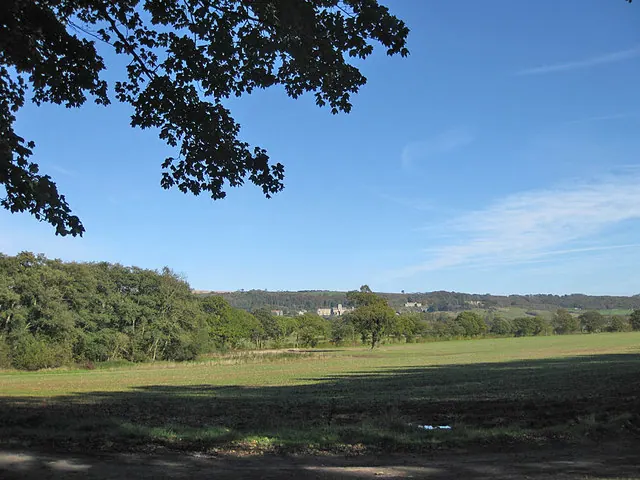
© Pauline E · Geograph · CC BY-SA 2.0
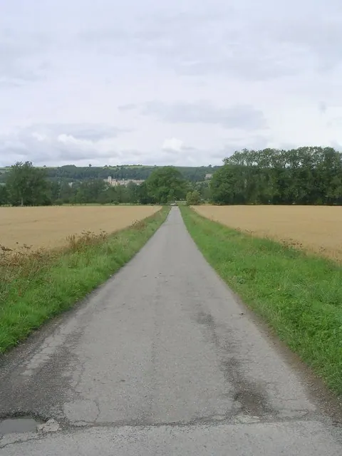
© Betty Longbottom · Geograph · CC BY-SA 2.0
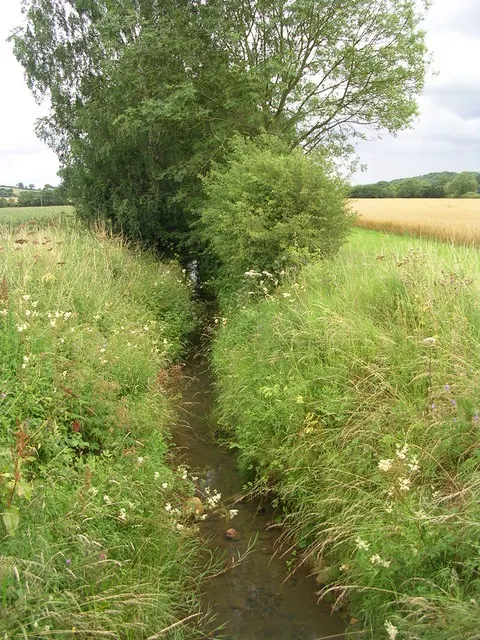
© Betty Longbottom · Geograph · CC BY-SA 2.0
Images © their respective photographers, licensed under CC BY-SA 2.0 and reused here with attribution. Photographs depict listed buildings, churches and monuments near this settlement and may show neighbouring villages.
Data derived from the Open Domesday project (opendomesday.org), based on the Domesday Book dataset compiled by Professor J.J.N. Palmer and team. The Domesday Book (1086) is in the public domain.
Found an inaccuracy? [email protected]