Yealand Conyers and Redmayne in the Domesday Book (1086)
Yealand Conyers and Redmayne is named in the Domesday Book, compiled by Norman commissioners in 1086, entered under the hundred of Amounderness in Yorkshire.
Other Settlements in Amounderness
- Aighton
- Aldcliffe
- Aldingham
- Arkholme
- Aschebi
- Ashton [Hall]
- Ashton [on Ribble]
- Austwick
- Barbon
- Bardsea
- Bare
- Barnoldswick
- Barton
- Beetham
The Meaning of the Name
The origin of the name Yealand Conyers and Redmayne is not securely established from its modern form alone; like many settlement names in the North it likely combines an Old English or Old Norse personal name with a landscape term.
Remarkably, the name has changed little since 1086, when the Domesday scribes wrote it as Yealand Conyers and Redmayne.
Listed Buildings Near Yealand Conyers and Redmayne
Historic England records 30 listed buildings within about a mile of Yealand Conyers and Redmayne. Listing protects structures of special architectural or historic interest, graded I (exceptional), II* (particularly important) and II.
Grade II*
- The Castle - 0.41 km
- Quaker Meeting House - 1.07 km
Grade II
- 2 and 3 Storrs Grange - 0.36 km
- Storrs Farmhouse - 0.37 km
- Yealand War Memorial - 0.37 km
- 3 and 5, Silverdale Road - 0.38 km
- Yew Tree Cottage and Yew Tree House - 0.42 km
- Hill Top Farmhouse - 0.44 km
- Langdale - 0.57 km
- Kilross Lodge - 0.58 km
- Barn Adjoining to the North of no 45 Opposite the Junction With Eight Acre Lane - 0.6 km
- Old Hall Farmhouse - 0.61 km
- Old Hall Cottage - 0.64 km
- Church of St. John - 0.66 km
- New Inn - 0.66 km
- 53, Yealand Road - 0.66 km
- Holmere Bank - 0.83 km
- Dykes Farmhouse - 0.83 km
- Cinderbarrow Farmhouse - 0.9 km
- Old Post House - 0.91 km
- Yealand Manor - 0.96 km
- Stable Block to Yealand Manor - 1.0 km
- Mounting Block on Roadside to West of Quaker Meeting House - 1.09 km
- Lancaster Canal Yealand Road Bridge (Number 142) - 1.13 km
…and 6 more listed structures in the area.
Scheduled Monuments Near Yealand Conyers and Redmayne
Scheduled monuments are nationally important archaeological sites given legal protection. 2 lie within roughly a mile of Yealand Conyers and Redmayne:
- Stone circle on Summerhouse Hill - 1.23 km
- Round cairn on Summerhouse Hill - 1.27 km
Yealand Conyers and Redmayne Today
Today Yealand Conyers and Redmayne lies within the administrative area of The Yealands, and the settlement recorded a population of 198 at the 2021 census. Nine and a half centuries separate that figure from the small rural community the Domesday survey recorded here in 1086.
Read more about modern Yealand Conyers on Wikipedia .
Nearby Domesday Settlements
Other places recorded in the 1086 survey within a few miles:
Heritage Around Yealand [Conyers and Redmayne]
Photographs of churches, listed buildings and monuments in the vicinity, contributed by volunteers to the Geograph project and reused here under a Creative Commons licence.
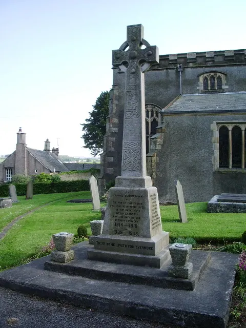
© Alexander P Kapp · Geograph · CC BY-SA 2.0
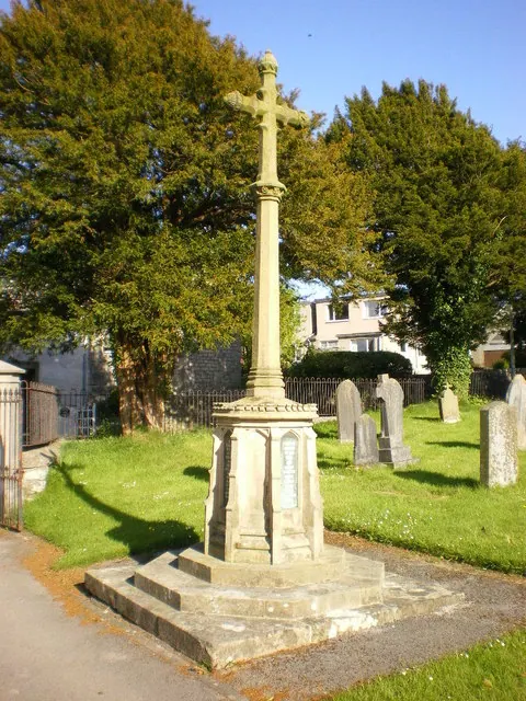
© Alexander P Kapp · Geograph · CC BY-SA 2.0
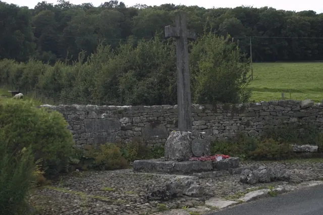
© Tom Richardson · Geograph · CC BY-SA 2.0
Images © their respective photographers, licensed under CC BY-SA 2.0 and reused here with attribution. Photographs depict listed buildings, churches and monuments near this settlement and may show neighbouring villages.
Data derived from the Open Domesday project (opendomesday.org), based on the Domesday Book dataset compiled by Professor J.J.N. Palmer and team. The Domesday Book (1086) is in the public domain.
Found an inaccuracy? [email protected]