Yeadon in the Domesday Book (1086)
The 1086 Domesday survey records the settlement of Yeadon, entered under the hundred of Skyrack in Yorkshire. The survey assessed Yeadon at 0.5 carucates of taxable land.
At the time of the survey, Yeadon supported a recorded population of 3 smallholders, working 2 ploughs between them.
The survey records Yeadon’s value at 8d in 1086. No pre-Conquest figure survives – not unusual in the North, where records were disrupted by the Harrying and by the patchy coverage of the survey.
The survey lists 2 manors at Yeadon under different lords. Splitting a single settlement between multiple tenants was common across the North – Saxon estates broken up and handed to William’s followers after 1066.
Resources Recorded at Yeadon (1086)
- Cattle: 2
- Pigs: 1
- Sheep: 41
- Woodland: 6 acres
Other Settlements in Skyrack
- Adel
- Allerton [Bywater]
- Alwoodley
- Arthington
- Austhorpe
- Baildon
- Bardsey
- Barwick [in Elmet]
- Bichertun
- Bicherun
- Bingley
- Birkby [Hill]
- Bramhope
- Burden [Head]
The Meaning of the Name
The name Yeadon is of Anglo-Saxon origin. Its final element derives from the Old English word dūn, a hill. The first element is most likely a personal name or an early descriptive term, now difficult to recover with certainty. Taken together the name probably meant something close to ‘a hill’.
Remarkably, the name has changed little since 1086, when the Domesday scribes wrote it as Yeadon.
Listed Buildings Near Yeadon
Historic England records 9 listed buildings within about a mile of Yeadon. Listing protects structures of special architectural or historic interest, graded I (exceptional), II* (particularly important) and II.
Grade II*
- Rectory Hall - 1.26 km
Grade II
- Church of St Andrew - 0.24 km
- 1 AND 3, TOWN STREET (See details for further address information) - 0.39 km
- Yeadon Town Hall - 0.45 km
- Willow Cottage - 0.45 km
- 26 and 24, Gill Lane - 1.08 km
- Low Hall - 1.18 km
- Trinity Church Sunday School - 1.25 km
- Trinity Church - 1.26 km
Yeadon Today
Today Yeadon lies within the administrative area of Leeds, and the settlement recorded a population of 22,233 at recent figures. Nine and a half centuries separate that figure from the small rural community the Domesday survey recorded here in 1086.
Read more about modern Yeadon on Wikipedia .
Nearby Domesday Settlements
Other places recorded in the 1086 survey within a few miles:
- Guiseley - 1.4 km NW
- Rawdon - 2.2 km SE
- East Carlton - 2.8 km NE
- Little Hawksworth - 3.2 km W
- Hawksworth - 4.0 km W
- Otley - 4.0 km N
Heritage Around Yeadon
Photographs of churches, listed buildings and monuments in the vicinity, contributed by volunteers to the Geograph project and reused here under a Creative Commons licence.
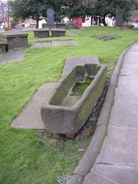
© Humphrey Bolton · Geograph · CC BY-SA 2.0
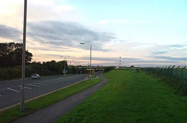
© Bill Henderson · Geograph · CC BY-SA 2.0
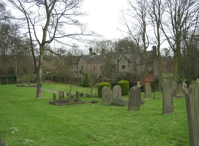
© Humphrey Bolton · Geograph · CC BY-SA 2.0
Images © their respective photographers, licensed under CC BY-SA 2.0 and reused here with attribution. Photographs depict listed buildings, churches and monuments near this settlement and may show neighbouring villages.
Data derived from the Open Domesday project (opendomesday.org), based on the Domesday Book dataset compiled by Professor J.J.N. Palmer and team. The Domesday Book (1086) is in the public domain.
Found an inaccuracy? [email protected]