Wyke in the Domesday Book (1086)
Wyke appears in the Domesday Book of 1086, entered under the hundred of Morley in Yorkshire.
Other Settlements in Morley
- Allerton
- Armley
- Batley
- Beeston
- Bolton
- Bowling
- Bradford
- Bramley
- Calverley
- Carlton
- Chellow [Grange]
- Clayton
- Clifton
- Cruttonstall
The Meaning of the Name
The origin of the name Wyke is not securely established from its modern form alone; like many settlement names in the North it likely combines an Old English or Old Norse personal name with a landscape term.
Remarkably, the name has changed little since 1086, when the Domesday scribes wrote it as Wyke.
Listed Buildings Near Wyke
Historic England records 45 listed buildings within about a mile of Wyke. Listing protects structures of special architectural or historic interest, graded I (exceptional), II* (particularly important) and II.
Grade II
- Chimney Tower and Boilerhouse at Wyke Middle School - 0.25 km
- 420-432, Huddersfield Road - 0.44 km
- Nos. 408-414 (Even), Including Nos. 412A and 414A - 0.49 km
- 53, 55 and 57, Carr House Gate - 0.49 km
- 49, 49A and 51, Town Gate - 0.5 km
- 402 and 404, Huddersfield Road - 0.52 km
- 53-59, Town Gate Bd12 - 0.52 km
- Holly Hall Cottage - 0.56 km
- Breaks Fold - 0.58 km
- Breaks Fold - 0.59 km
- 167-173, Wyke Lane Bd12 - 0.6 km
- Binks Fold - 0.6 km
- Forecourt Wall and Gate Piers Fronting Road Between Whitteron House and Number 28 - 0.61 km
- 84-90, Town Gate Bd12 - 0.61 km
- Simon Fold - 0.61 km
- 109, 111 and 113, Carr House Gate - 0.61 km
- Whitteron House - 0.61 km
- Numbers 212 and 214 and Barn on East Side - 0.61 km
- 159, Wyke Lane Bd12 - 0.62 km
- Coach House to North of Whitteron House - 0.63 km
- High Fernley House - 0.63 km
- Simon Fold (Barn on West Side of Number 2) - 0.63 km
- Nab End - 0.66 km
- 11 and 13, Knowle Lane Bd12 - 0.73 km
…and 21 more listed structures in the area.
Wyke Today
Today Wyke lies within the administrative area of Bradford, and the settlement recorded a population of 14,950 at recent figures. Nine and a half centuries separate that figure from the small rural community the Domesday survey recorded here in 1086.
Read more about modern Wyke on Wikipedia .
Nearby Domesday Settlements
Other places recorded in the 1086 survey within a few miles:
- North Bierley - 2.8 km NE
- Wibsey - 3.0 km N
- Shelf - 3.2 km W
- Hipperholme - 3.6 km SW
- Northowram - 4.1 km W
- Cleckheaton - 4.5 km SE
Heritage Around Wyke
Photographs of churches, listed buildings and monuments in the vicinity, contributed by volunteers to the Geograph project and reused here under a Creative Commons licence.
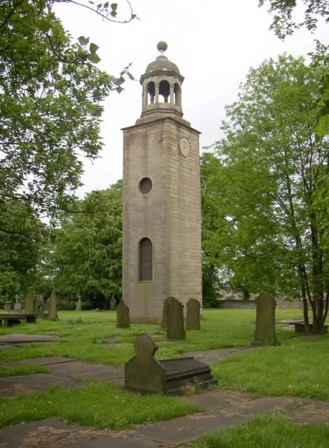
© Humphrey Bolton · Geograph · CC BY-SA 2.0
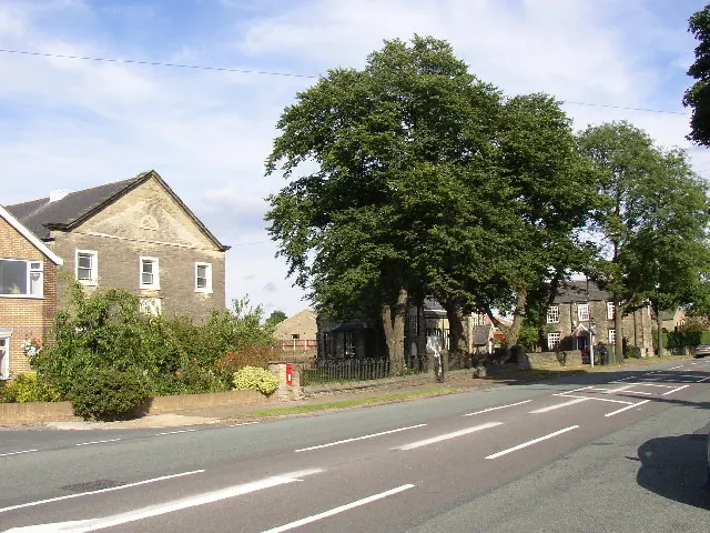
© Humphrey Bolton · Geograph · CC BY-SA 2.0
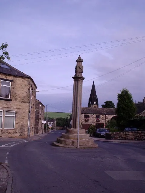
© Stephen Armstrong · Geograph · CC BY-SA 2.0
Images © their respective photographers, licensed under CC BY-SA 2.0 and reused here with attribution. Photographs depict listed buildings, churches and monuments near this settlement and may show neighbouring villages.
Data derived from the Open Domesday project (opendomesday.org), based on the Domesday Book dataset compiled by Professor J.J.N. Palmer and team. The Domesday Book (1086) is in the public domain.
Found an inaccuracy? [email protected]