Wycliffe in the Domesday Book (1086)
Wycliffe is named in the Domesday Book, compiled by Norman commissioners in 1086, entered under the hundred of Land of Count Alan in Yorkshire.
Other Settlements in Land of Count Alan
- Achebi
- Agglethorpe
- Ainderby [Mires]
- Ainderby [Quernhow]
- Aiskew
- Aldbrough
- Allerthorpe [Hall]
- Ascam
- Ascham
- Asebi
- Aske [Hall]
- Askrigg
- Aysgarth
- Baldersby
The Meaning of the Name
The name Wycliffe is of Anglo-Saxon origin. Its final element derives from the Old English word clif, a cliff or steep slope. The first element is most likely a personal name or an early descriptive term, now difficult to recover with certainty. Taken together the name probably meant something close to ‘a slope’.
Remarkably, the name has changed little since 1086, when the Domesday scribes wrote it as Wycliffe.
Listed Buildings Near Wycliffe
Historic England records 21 listed buildings within about a mile of Wycliffe. Listing protects structures of special architectural or historic interest, graded I (exceptional), II* (particularly important) and II.
Grade I
- Church of St Mary - 0.18 km
Grade II*
- Wycliffe Hall - 0.43 km
- Whorlton Bridge - 0.93 km
- Whorlton Suspension Bridge, Over the River Tees - 0.93 km
- Thorpe Hall - 1.18 km
Grade II
- The Nest - 0.14 km
- Wall to North and East of Wycliffe Old Rectory - 0.16 km
- Outbuildings to North of Old Rectory, West House - 0.18 km
- Wycliffe Old Rectory - 0.19 km
- Old Rectory West House - 0.19 km
- Mounting Block to South of Gates to Old Rectory - 0.22 km
- Garden Wall and Attached Outbuilding to North West of Wycliffe Hall - 0.38 km
- Toll House at North-west End of Whorlton Bridge - 0.94 km
- Font, Adjacent to South Porch of Church of St. Mary - 0.95 km
- The Conifers - 1.1 km
- Whorlton Croft - 1.12 km
- 1-7, Grange Terrace - 1.16 km
- The Bridge Inn - 1.16 km
- Lilac Cottage - 1.18 km
- 1-3, Grange Cottages - 1.19 km
- Wall and Attached Outbuilding to North West of Thorpe Hall - 1.21 km
Scheduled Monuments Near Wycliffe
Scheduled monuments are nationally important archaeological sites given legal protection. 1 lies within roughly a mile of Wycliffe:
- Whorlton suspension bridge - 0.94 km
Wycliffe Today
Today Wycliffe lies within the administrative area of Wycliffe with Thorpe.
Read more about modern Wycliffe on Wikipedia .
Nearby Domesday Settlements
Other places recorded in the 1086 survey within a few miles:
- Thorpe Hall - 1.0 km W
- Girlington Hall - 1.4 km SE
- Ovington - 2.0 km E
- Hutton Magna - 2.2 km SE
- Mortham Tower - 3.0 km W
- Rokeby Hall - 3.0 km W
Heritage Around Wycliffe
Photographs of churches, listed buildings and monuments in the vicinity, contributed by volunteers to the Geograph project and reused here under a Creative Commons licence.
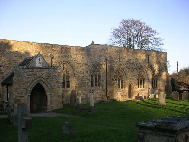
© Oliver Dixon · Geograph · CC BY-SA 2.0
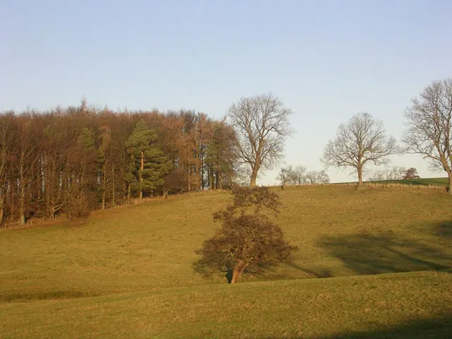
© Oliver Dixon · Geograph · CC BY-SA 2.0
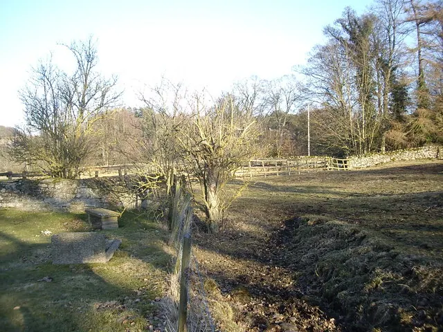
© Stanley Howe · Geograph · CC BY-SA 2.0
Images © their respective photographers, licensed under CC BY-SA 2.0 and reused here with attribution. Photographs depict listed buildings, churches and monuments near this settlement and may show neighbouring villages.
Location
54.5255°N, -1.8223°W · Land of Count Alan hundred, Yorkshire
View larger map on OpenStreetMap →Data derived from the Open Domesday project (opendomesday.org), based on the Domesday Book dataset compiled by Professor J.J.N. Palmer and team. The Domesday Book (1086) is in the public domain.
Found an inaccuracy? [email protected]