Wrelton in the Domesday Book (1086)
Wrelton is named in the Domesday Book, compiled by Norman commissioners in 1086, entered under the hundred of Dic in Yorkshire.
Other Settlements in Dic
- Aislaby
- Allerston
- Appleton [le Moors]
- Aschelesmersc
- Aschilesmares
- Barton [le Street]
- Baschebi
- Baschesbi
- Brompton
- Burniston
- Burton [Dale]
- Cawthorn
- Cayton
- Chigogemers
The Meaning of the Name
The name Wrelton is of Anglo-Saxon origin. Its final element derives from the Old English word tūn, a farmstead or village. The first element is most likely a personal name or an early descriptive term, now difficult to recover with certainty. Taken together the name probably meant something close to ‘a farmstead’.
Remarkably, the name has changed little since 1086, when the Domesday scribes wrote it as Wrelton.
Listed Buildings Near Wrelton
Historic England records 22 listed buildings within about a mile of Wrelton. Listing protects structures of special architectural or historic interest, graded I (exceptional), II* (particularly important) and II.
Grade II*
- Aislaby Hall, Front Wall and Gate Piers - 1.27 km
Grade II
- Hydrant Approximately 3 Metres North of Pear Tree Villa - 0.27 km
- Pear Tree Villa - 0.28 km
- Highway Cottage - 0.3 km
- Dovecote Approximately 10 Metres North West of Wrelton Hall - 0.38 km
- Wrelton Hall - 0.4 km
- Groom’s Cottage Approximately 20 Metres North East of Wrelton Hall - 0.4 km
- Beech Farmhouse - 0.41 km
- Range of Outbuildings Approximately 10 Metres East of Wrelton Hall - 0.43 km
- Croft Head Farmhouse and Attached Railings at Rear - 0.44 km
- Broomfield House - 0.44 km
- Manor Garth - 0.45 km
- 1 and 2 Foundry Cottages - 0.46 km
- Former Smithy Attached to the Outbuilding at Foundry Farmhouse - 0.47 km
- Farmbuildings Approximately 5 Metres South of Croft Head Farmhouse - 0.47 km
- Ivy Dene Ryedale - 0.47 km
- Foundry Farmhouse and attached outbuilding - 0.48 km
- Joiners’ Shop Attached to Ivy Dene - 0.48 km
- Methodist Chapel and Gates and Railings to Front - 0.49 km
- The Cruck Cottage - 0.52 km
- Loand House Farmhouse - 0.87 km
- Manor Farmhouse - 1.07 km
Wrelton Today
Today Wrelton lies within the administrative area of Ryedale, and the settlement recorded a population of 221 at the 2021 census. Nine and a half centuries separate that figure from the small rural community the Domesday survey recorded here in 1086.
Read more about modern Wrelton on Wikipedia .
Nearby Domesday Settlements
Other places recorded in the 1086 survey within a few miles:
- Aislaby - 1.4 km SE
- Sinnington - 2.2 km SW
- Middleton - 2.2 km SE
- Cawthorn - 3.2 km N
- Cropton - 3.2 km N
- Aschelesmersc - 3.6 km SE
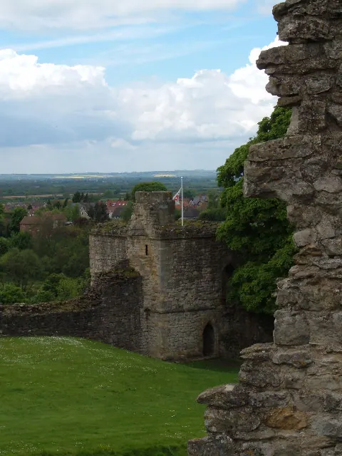
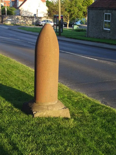
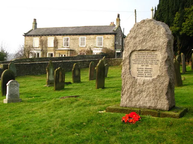
Heritage Around Wrelton
Photographs of churches, listed buildings and monuments in the vicinity, contributed by volunteers to the Geograph project and reused here under a Creative Commons licence.
© Alison Stamp · Geograph · CC BY-SA 2.0
© Keith Evans · Geograph · CC BY-SA 2.0
© David Rogers · Geograph · CC BY-SA 2.0
Images © their respective photographers, licensed under CC BY-SA 2.0 and reused here with attribution. Photographs depict listed buildings, churches and monuments near this settlement and may show neighbouring villages.
Data derived from the Open Domesday project (opendomesday.org), based on the Domesday Book dataset compiled by Professor J.J.N. Palmer and team. The Domesday Book (1086) is in the public domain.
Found an inaccuracy? [email protected]