Wothersome in the Domesday Book (1086)
Wothersome appears in the Domesday Book of 1086, entered under the hundred of Skyrack in Yorkshire.
Other Settlements in Skyrack
- Adel
- Allerton [Bywater]
- Alwoodley
- Arthington
- Austhorpe
- Baildon
- Bardsey
- Barwick [in Elmet]
- Bichertun
- Bicherun
- Bingley
- Birkby [Hill]
- Bramhope
- Burden [Head]
The Meaning of the Name
The origin of the name Wothersome is not securely established from its modern form alone; like many settlement names in the North it likely combines an Old English or Old Norse personal name with a landscape term.
Remarkably, the name has changed little since 1086, when the Domesday scribes wrote it as Wothersome.
Listed Buildings Near Wothersome
Historic England records 22 listed buildings within about a mile of Wothersome. Listing protects structures of special architectural or historic interest, graded I (exceptional), II* (particularly important) and II.
Grade I
- Chapel at North End of Terrace to Rear of Bramham Park - 0.68 km
- Gatepiers at Entrance to Forecourt of Bramham Park With Attached Retaining Wall - 0.77 km
- Parterre to West of Bramham Park House With 2 Pillars and 6 Urns - 0.78 km
- Bramham Park - 0.79 km
- Stable Block Forming South Side of Forecourt to Bramham Park - 0.81 km
- T Pond at Junction of Walks Approximately 350 Metres South West of Bramham Park House - 1.06 km
- Obelisk Pond and the Great Cascade Approximately 300 Metres South of Bramham Park House - 1.06 km
- Open Temple at West End of Quarter Mile Walk in Bramham Park - 1.13 km
- Gothic Temple Approximately 370 Metres South of Bramham Park House - 1.15 km
- Stone Surround to T Shaped Pond - 1.27 km
Grade II
- Terry Lug - 0.41 km
- Ha Ha Forming Boundary Wall to North Terrace With Returned East End - 0.65 km
- Wothersome Grange Farmhouse - 0.66 km
- Set of 4 Obelisks at Corners of Lawn in Forecourt to Bramham Park - 0.75 km
- Stone Nymph in Diamond Shaped Opening of Avenue Running West From Chapel at Bramham Park - 0.76 km
- Sundial in Centre of Parterre to West of Bramham Park House - 0.8 km
- Circular Pond With Fountain Approximately 50 Metres South of Bramham Park House on East Side of Terrace - 0.85 km
- Vase Carved With Four Faces at Intersection of Avenues Approximately 320 Metres West of Bramham Park House - 0.85 km
- Stable Block at South East Corner of Stable Courtyard - 0.86 km
- North Lodge with attached screen wall - 1.0 km
- Gothic Summer House Approximately 200 Metres South of Bramham Park - 1.02 km
- Monument to Jet in Dogs’ Graveyard Approximately 50 Metres to North of Gothic Temple - 1.09 km
Wothersome Today
Today Wothersome lies within the administrative area of Leeds, and the settlement recorded a population of 27 at the 2021 census. Nine and a half centuries separate that figure from the small rural community the Domesday survey recorded here in 1086.
Read more about modern Wothersome on Wikipedia .
Nearby Domesday Settlements
Other places recorded in the 1086 survey within a few miles:
- Bramham - 2.0 km E
- Compton - 2.2 km NW
- Monk Hay Stile - 2.2 km SE
- Clifford - 2.8 km NE
- East Rigton - 3.2 km W
- Kiddal Hall - 3.2 km S
Heritage Around Wothersome
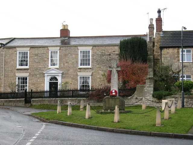
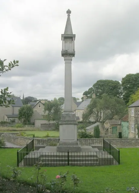
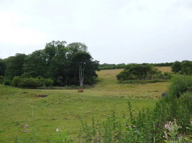
Photographs of churches, listed buildings and monuments in the vicinity, contributed by volunteers to the Geograph project and reused here under a Creative Commons licence.
© Gordon Hatton · Geograph · CC BY-SA 2.0
© Betty Longbottom · Geograph · CC BY-SA 2.0
© michael ely · Geograph · CC BY-SA 2.0
Images © their respective photographers, licensed under CC BY-SA 2.0 and reused here with attribution. Photographs depict listed buildings, churches and monuments near this settlement and may show neighbouring villages.
Data derived from the Open Domesday project (opendomesday.org), based on the Domesday Book dataset compiled by Professor J.J.N. Palmer and team. The Domesday Book (1086) is in the public domain.
Found an inaccuracy? [email protected]