Worton in the Domesday Book (1086)
The 1086 Domesday survey records the settlement of Worton, entered under the hundred of Land of Count Alan in Yorkshire.
Other Settlements in Land of Count Alan
- Achebi
- Agglethorpe
- Ainderby [Mires]
- Ainderby [Quernhow]
- Aiskew
- Aldbrough
- Allerthorpe [Hall]
- Ascam
- Ascham
- Asebi
- Aske [Hall]
- Askrigg
- Aysgarth
- Baldersby
The Meaning of the Name
The name Worton is of Anglo-Saxon origin. Its final element derives from the Old English word tūn, a farmstead or village. The first element is most likely a personal name or an early descriptive term, now difficult to recover with certainty. Taken together the name probably meant something close to ‘a farmstead’.
Remarkably, the name has changed little since 1086, when the Domesday scribes wrote it as Worton.
Listed Buildings Near Worton
Historic England records 39 listed buildings within about a mile of Worton. Listing protects structures of special architectural or historic interest, graded I (exceptional), II* (particularly important) and II.
Grade II
- Dale Farmhouse, Cottage Farmbuildings and Coach House - 0.38 km
- Worton Hall - 0.38 km
- Summer Tree House and Attached Outbuilding - 0.47 km
- Nappa House - 0.48 km
- Manor House and Railings - 0.49 km
- Victoria Arms Public House - 0.55 km
- Salisbury House and Railings - 0.9 km
- Grenada Hall - 0.9 km
- Robinson’s Gateways and Archway House - 0.92 km
- Wendal and House to North-east - 0.92 km
- Former Conservative Club - 0.93 km
- Church View, to North of Sykes’s House - 0.94 km
- Church View to South of Sykes’s House - 0.94 km
- The King’s Arms Hotel - 0.94 km
- Skeldale House and railings - 0.94 km
- Sykes’s House - 0.94 km
- The Manor House - 0.94 km
- The Wool Room - 0.95 km
- House and Shop of Mr and Mrs Hunt - 0.95 km
- Wool Room Cottage - 0.95 km
- Woodburn House and Railings - 0.96 km
- Market Cross - 0.96 km
- Pump - 0.96 km
- K6 Telephone Kiosk - 0.96 km
…and 15 more listed structures in the area.
Scheduled Monuments Near Worton
Scheduled monuments are nationally important archaeological sites given legal protection. 1 lies within roughly a mile of Worton:
- Ring cairn 580m west of Askrigg church - 1.52 km
Worton Today
Today Worton lies within the administrative area of Bainbridge.
Read more about modern Worton on Wikipedia .
Nearby Domesday Settlements
Other places recorded in the 1086 survey within a few miles:
- Askrigg - 1.4 km NW
- Denton - 1.4 km NW
- Dentone - 1.4 km NW
- Brough Hill - 2.0 km W
- Fors Abbey - 2.0 km W
- Thornton Rust - 2.8 km SE
Heritage Around Worton
Photographs of churches, listed buildings and monuments in the vicinity, contributed by volunteers to the Geograph project and reused here under a Creative Commons licence.
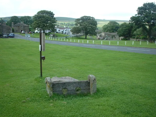
© Adie Jackson · Geograph · CC BY-SA 2.0
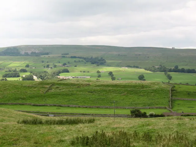
© Gordon Hatton · Geograph · CC BY-SA 2.0
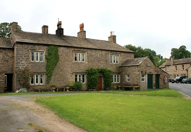
© David Pickersgill · Geograph · CC BY-SA 2.0
Images © their respective photographers, licensed under CC BY-SA 2.0 and reused here with attribution. Photographs depict listed buildings, churches and monuments near this settlement and may show neighbouring villages.
Location
54.3099°N, -2.0692°W · Land of Count Alan hundred, Yorkshire
View larger map on OpenStreetMap →Data derived from the Open Domesday project (opendomesday.org), based on the Domesday Book dataset compiled by Professor J.J.N. Palmer and team. The Domesday Book (1086) is in the public domain.
Found an inaccuracy? [email protected]