Worsborough in the Domesday Book (1086)
The 1086 Domesday survey records the settlement of Worsborough, entered under the hundred of Staincross in Yorkshire.
Other Settlements in Staincross
- Adlingfleet
- Barnby [Hall]
- Barnsley
- Barugh
- Brierley
- Carlton
- Cawthorne
- Chevet
- Clactone
- Clayton [West]
- Darton
- Dodworth
- Hemsworth
- Hoyland [Swaine]
The Meaning of the Name
The name Worsborough is of Anglo-Saxon origin. Its final element derives from the Old English word burh, a fortified place. The first element is most likely a personal name or an early descriptive term, now difficult to recover with certainty. Taken together the name probably meant something close to ‘a stronghold’.
Remarkably, the name has changed little since 1086, when the Domesday scribes wrote it as Worsborough.
Listed Buildings Near Worsborough
Historic England records 27 listed buildings within about a mile of Worsborough. Listing protects structures of special architectural or historic interest, graded I (exceptional), II* (particularly important) and II.
Grade I
- Church of St Mary - 1.06 km
Grade II*
- Worsbrough Corn Mill - 0.67 km
- Darley Cliffe Hall Including Attached Front Garden Wall and Dwellings Known As Tudor House and Dower Cottage - 1.04 km
Grade II
- Church of Our Lady and St James - 0.22 km
- Lych gate to Church of Our Lady and St James - 0.22 km
- 1-4, Foundary Yard - 0.51 km
- The Mill Cottage - 0.65 km
- Bridge Approximately 60 Metres to North of Worsbrough Mill Museum - 0.66 km
- Worsbrough Hall Flats - 0.81 km
- Worsbrough Hall (Including Nos 4 and 5 Worsbrough Hall) - 0.83 km
- Colliery Explosion Monument Approximately 5 Metres to South of Porch to Church of St Thomas and St James - 0.9 km
- Church of St Thomas and St James - 0.92 km
- Milepost at South Side of Junction With Kingwell Road - 0.94 km
- Worsbrough Vicarage - 0.96 km
- 7 Worsbrough Village - 0.98 km
- 5 Worsbrough Village - 0.98 km
- Lower Lewden Farmhouse - 0.99 km
- Sundial Approximately 35 Metres to West of Darley Cliffe Hall - 1.02 km
- Barn to North East of Lower Lewden Farmhouse - 1.02 km
- Barn to East of Lower Lewden Farmhouse - 1.02 km
- Number 12 and the Old School - 1.03 km
- Barn to South East of Lower Lewden Farmhouse - 1.03 km
- The Gables (At Darley Cliff) - 1.09 km
- Barncroft (At Darley Cliff) - 1.09 km
…and 3 more listed structures in the area.
Worsborough Today
Today Worsborough lies within the administrative area of Barnsley.
Read more about modern Worsbrough Bridge on Wikipedia .
Nearby Domesday Settlements
Other places recorded in the 1086 survey within a few miles:
- Keresforth Hall - 2.2 km NW
- Barnsley - 3.2 km N
- Hoyland Nether - 3.2 km S
- Pilley - 3.6 km SW
- Toftes - 4.0 km E
- Wombwell - 4.0 km E
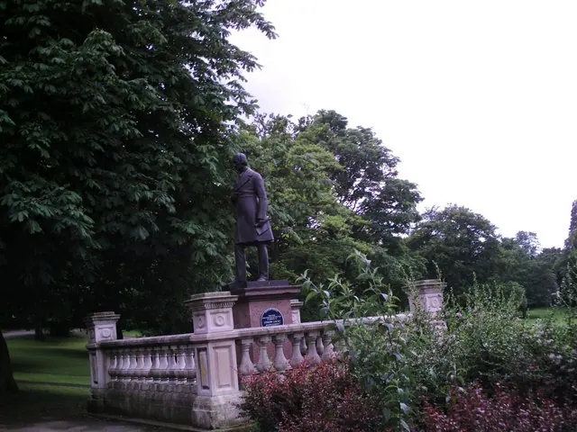
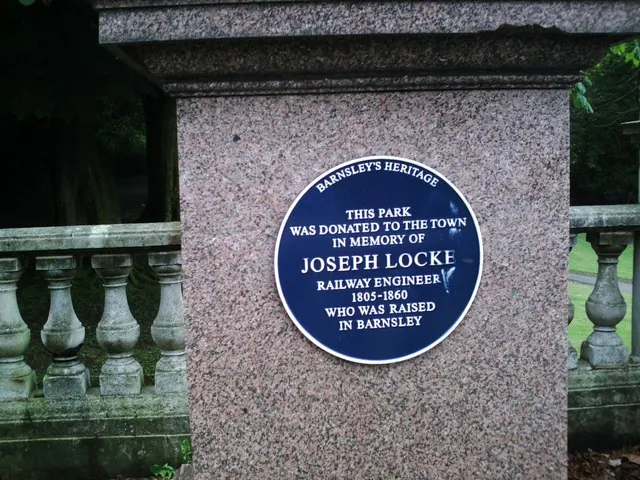
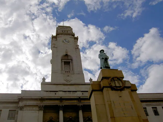
Heritage Around Worsborough
Photographs of churches, listed buildings and monuments in the vicinity, contributed by volunteers to the Geograph project and reused here under a Creative Commons licence.
© Peter Beard · Geograph · CC BY-SA 2.0
© Peter Beard · Geograph · CC BY-SA 2.0
© Steve Fareham · Geograph · CC BY-SA 2.0
Images © their respective photographers, licensed under CC BY-SA 2.0 and reused here with attribution. Photographs depict listed buildings, churches and monuments near this settlement and may show neighbouring villages.
Data derived from the Open Domesday project (opendomesday.org), based on the Domesday Book dataset compiled by Professor J.J.N. Palmer and team. The Domesday Book (1086) is in the public domain.
Found an inaccuracy? [email protected]