Worrall in the Domesday Book (1086)
Worrall appears in the Domesday Book of 1086, entered under the hundred of Strafforth in Yorkshire. The survey assessed Worrall at 0.2 carucates of taxable land.
At the time of the survey, Worrall supported a recorded population of 2 smallholders.
The survey records Worrall’s value at 2d in 1086. No pre-Conquest figure survives – not unusual in the North, where records were disrupted by the Harrying and by the patchy coverage of the survey.
Other Settlements in Strafforth
- Adwick [le Street]
- Adwick [upon Dearne]
- Armthorpe
- Aston
- Attercliffe
- Auckley
- Aughton [Hall]
- Austerfield
- Balby
- Barnbrough
- Barnby [Dun]
- Bentley
- Bilham [House]
- Billingley
The Meaning of the Name
The origin of the name Worrall is not securely established from its modern form alone; like many settlement names in the North it likely combines an Old English or Old Norse personal name with a landscape term.
Remarkably, the name has changed little since 1086, when the Domesday scribes wrote it as Worrall.
Listed Buildings Near Worrall
Historic England records 15 listed buildings within about a mile of Worrall. Listing protects structures of special architectural or historic interest, graded I (exceptional), II* (particularly important) and II.
Grade II
- 66, Towngate Road - 0.29 km
- 64, Towngate Road - 0.3 km
- Fox House - 0.36 km
- Birtin House - 0.59 km
- Coachhouse and Stable Block to Rear of Middlewood Hall - 0.65 km
- Middlewood Hall - 0.68 km
- Iron Railings, Flight of Garden Steps and Associated Retaining Wall Approximately 15 Metres to East of Middlewood Hall - 0.72 km
- Gate Piers to Drive of Middlewood Hall - 0.85 km
- Outbuilding Approximately 25 Metres to South East of Oughtibridge Hall - 1.1 km
- Oughtibridge Hall and Outbuilding - 1.12 km
- Oughtibridge Forge - 1.17 km
- Oughtibridge Station - 1.18 km
- Rural Cottage - 1.21 km
- Low Fold Farmhouse and Barn Attached - 1.22 km
- Guide Pillar at Junction With Long Lane, on South East Side of Junction - 1.28 km
Worrall Today
Today Worrall lies within the administrative area of Bradfield, and the settlement recorded a population of 1,306 at recent figures. Nine and a half centuries separate that figure from the small rural community the Domesday survey recorded here in 1086.
Read more about modern Worrall on Wikipedia .
Nearby Domesday Settlements
Other places recorded in the 1086 survey within a few miles:
- Onesacre - 1.4 km NW
- Holdworth - 2.2 km SW
- Wadsley - 2.8 km SE
- Ecclesfield - 5.4 km E
- Ughill - 5.4 km W
- Waldershelf - 5.6 km NW
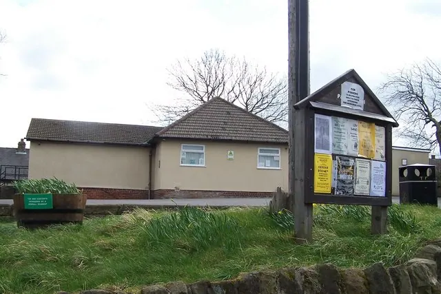
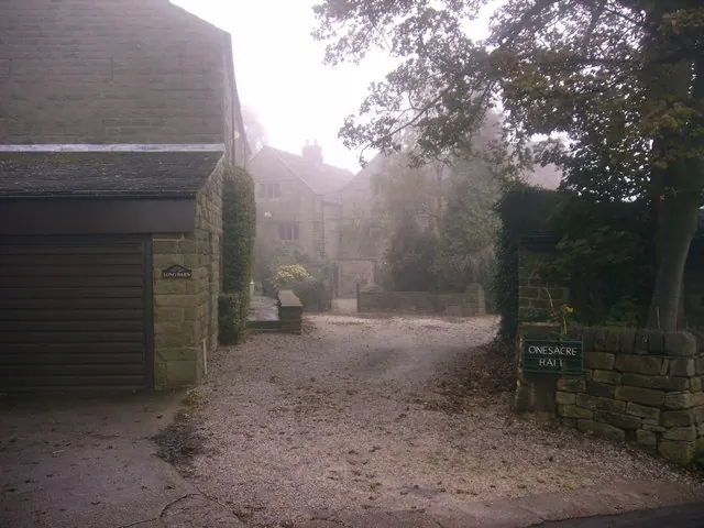
Heritage Around Worrall
Photographs of churches, listed buildings and monuments in the vicinity, contributed by volunteers to the Geograph project and reused here under a Creative Commons licence.
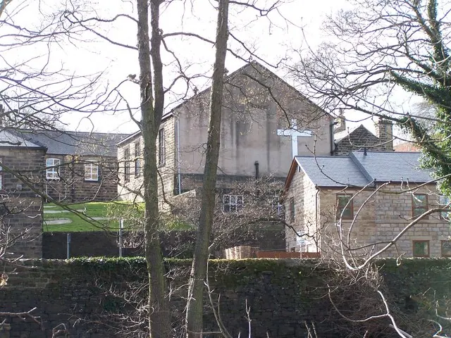
© Terry Robinson · Geograph · CC BY-SA 2.0
© Terry Robinson · Geograph · CC BY-SA 2.0
© Brian Ward · Geograph · CC BY-SA 2.0
Images © their respective photographers, licensed under CC BY-SA 2.0 and reused here with attribution. Photographs depict listed buildings, churches and monuments near this settlement and may show neighbouring villages.
Data derived from the Open Domesday project (opendomesday.org), based on the Domesday Book dataset compiled by Professor J.J.N. Palmer and team. The Domesday Book (1086) is in the public domain.
Found an inaccuracy? [email protected]