Woolley in the Domesday Book (1086)
The 1086 Domesday survey records the settlement of Woolley, entered under the hundred of Staincross in Yorkshire.
Other Settlements in Staincross
- Adlingfleet
- Barnby [Hall]
- Barnsley
- Barugh
- Brierley
- Carlton
- Cawthorne
- Chevet
- Clactone
- Clayton [West]
- Darton
- Dodworth
- Hemsworth
- Hoyland [Swaine]
The Meaning of the Name
The name Woolley is of Anglo-Saxon origin. Its final element derives from the Old English word lēah, a woodland clearing or glade. The first element is most likely a personal name or an early descriptive term, now difficult to recover with certainty. Taken together the name probably meant something close to ‘a clearing’.
Remarkably, the name has changed little since 1086, when the Domesday scribes wrote it as Woolley.
Listed Buildings Near Woolley
Historic England records 34 listed buildings within about a mile of Woolley. Listing protects structures of special architectural or historic interest, graded I (exceptional), II* (particularly important) and II.
Grade I
- Church of St Peter - 0.56 km
Grade II
- Woolley Church of England School - 0.51 km
- 1, THE GREEN (See details for further address information) - 0.53 km
- Barn at Beech Farm Opposite Number 14 - 0.53 km
- Cross Base Approximately 2 Metres South of First Bay of South Aisle of Church of St Peter - 0.57 km
- Pair of Raised Grave Slabs, Memorials to George Wildsmith and George Stringer, Approximately 10 Metres South of West Tower of Church of St Peter - 0.57 km
- Pair of Raised Grave Slabs, Memorials to the 2 Wives of Robert Fretwell Approximately 10 Metres South of Porch of Church of St Peter - 0.58 km
- Pair of Tomb Chests Either Side of Footpath Approximately 10 Metres South of South Transept of Church of St Peter - 0.58 km
- 5, 6, 7, 8, 9, 10, 11, the Courtyard - 0.61 km
- The Old Court House - 0.64 km
- Former Sunday School and Stable Approximately 30 Metres North of Number 10 (The Old Vicarage) - 0.64 km
- Gatepiers at Entrance to the Old Court House - 0.64 km
- Coach House Approximately 10 Metres North of Number 10 (The Old Vicarage) - 0.65 km
- The Old Vicarage - 0.66 km
- Gate Piers at Junction With New Road - 0.72 km
- Oak Villa - 0.75 km
- Water Cistern Cover Near to Entrance of Waswell House - 0.76 km
- Orchard Cottage - 0.78 km
- Gatepiers and 6 Metres of Flanking Wall, to Front of Mount Farmhouse - 0.81 km
- Barn Approximately 20 Metres North East of Mount Farmhouse - 0.81 km
- Mount Farmhouse - 0.82 km
- Sheep Dip in Bend of Road to South of Entrance of the Croft - 0.84 km
- Walled Garden Walls and Gate Piers to Woolley Hall - 0.85 km
- Cloisters to West, North and East of Garth to North of Barn at Home Farm - 1.01 km
…and 10 more listed structures in the area.
Woolley Today
Today Woolley lies within the administrative area of Wakefield, and the settlement recorded a population of 1,570 at the 2021 census. Nine and a half centuries separate that figure from the small rural community the Domesday survey recorded here in 1086.
Read more about modern Woolley on Wikipedia .
Nearby Domesday Settlements
Other places recorded in the 1086 survey within a few miles:
- Sactun - 0.0 km N
- Santone - 0.0 km N
- West Bretton - 3.0 km W
- Crigglestone - 3.0 km N
- Chevet - 3.6 km NE
- Notton - 4.0 km E
Heritage Around Woolley
Photographs of churches, listed buildings and monuments in the vicinity, contributed by volunteers to the Geograph project and reused here under a Creative Commons licence.
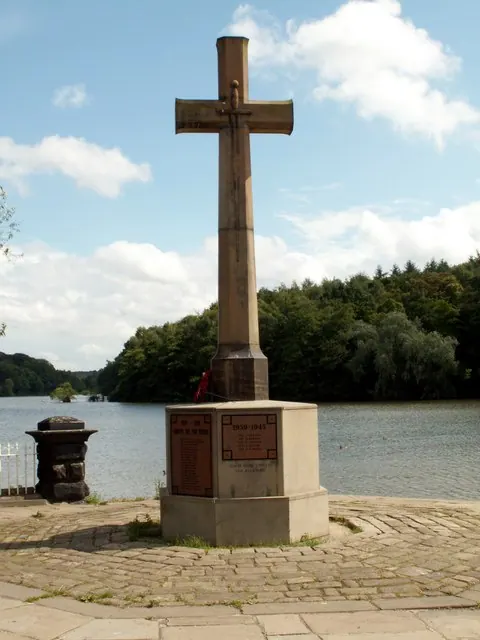
© John Fielding · Geograph · CC BY-SA 2.0
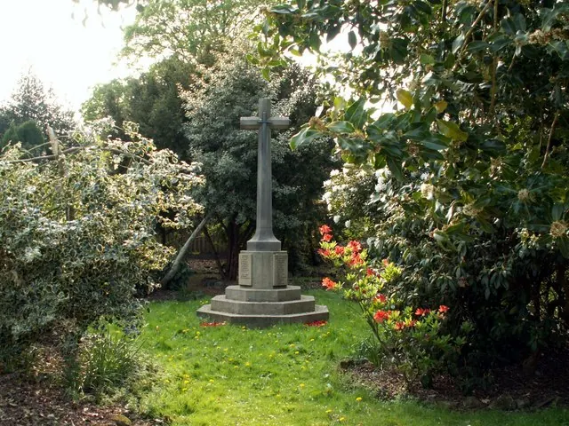
© John Fielding · Geograph · CC BY-SA 2.0
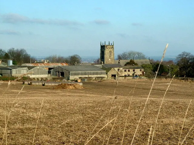
© Nigel Homer · Geograph · CC BY-SA 2.0
Images © their respective photographers, licensed under CC BY-SA 2.0 and reused here with attribution. Photographs depict listed buildings, churches and monuments near this settlement and may show neighbouring villages.
Data derived from the Open Domesday project (opendomesday.org), based on the Domesday Book dataset compiled by Professor J.J.N. Palmer and team. The Domesday Book (1086) is in the public domain.
Found an inaccuracy? [email protected]