Womersley in the Domesday Book (1086)
Womersley is named in the Domesday Book, compiled by Norman commissioners in 1086, entered under the hundred of Osgodcross in Yorkshire.
Other Settlements in Osgodcross
- Arksey
- Badsworth
- Beal
- Burgh[wallis]
- Campsall
- Darrington
- Featherstone
- Ferry [Fryston]
- Hamphall [Stubbs]
- Hensall
- Hessle
- Kellington
- Knottingley
- Minsthorpe
The Meaning of the Name
The name Womersley is of Anglo-Saxon origin. Its final element derives from the Old English word lēah, a woodland clearing or glade. The first element is most likely a personal name or an early descriptive term, now difficult to recover with certainty. Taken together the name probably meant something close to ‘a clearing’.
Remarkably, the name has changed little since 1086, when the Domesday scribes wrote it as Womersley.
Listed Buildings Near Womersley
Historic England records 10 listed buildings within about a mile of Womersley. Listing protects structures of special architectural or historic interest, graded I (exceptional), II* (particularly important) and II.
Grade I
- Church of St Martin - 0.63 km
Grade II*
Grade II
- Pigeoncote to Home Farm - 0.48 km
- Manor House - 0.55 km
- Gate Piers and Wall to Womersley Park - 0.63 km
- Went Farmhouse - 0.83 km
- Low Farmhouse - 0.86 km
- Dovecote to Low Farmhouse - 0.87 km
- Village Pump and Trough - 1.13 km
- Village Cross - 1.13 km
Scheduled Monuments Near Womersley
Scheduled monuments are nationally important archaeological sites given legal protection. 1 lies within roughly a mile of Womersley:
Womersley Today
Today Womersley lies within the administrative area of Selby, and the settlement recorded a population of 411 at the 2021 census. Nine and a half centuries separate that figure from the small rural community the Domesday survey recorded here in 1086.
Read more about modern Womersley on Wikipedia .
Nearby Domesday Settlements
Other places recorded in the 1086 survey within a few miles:
- Stapleton - 2.2 km NW
- Kirk and Little Smeaton - 2.2 km SW
- Walden Stubbs - 2.8 km SE
- Norton - 3.2 km S
- Campsall - 4.1 km S
- Newsham - 4.1 km S
Heritage Around Womersley
Photographs of churches, listed buildings and monuments in the vicinity, contributed by volunteers to the Geograph project and reused here under a Creative Commons licence.
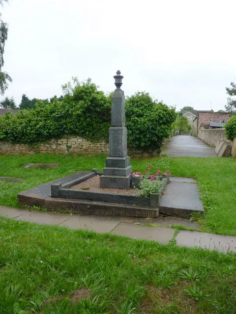
© Alexander P Kapp · Geograph · CC BY-SA 2.0
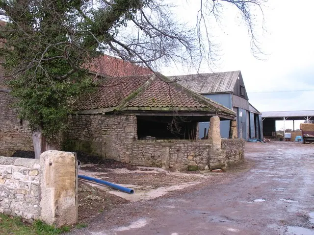
© Gordon Hatton · Geograph · CC BY-SA 2.0
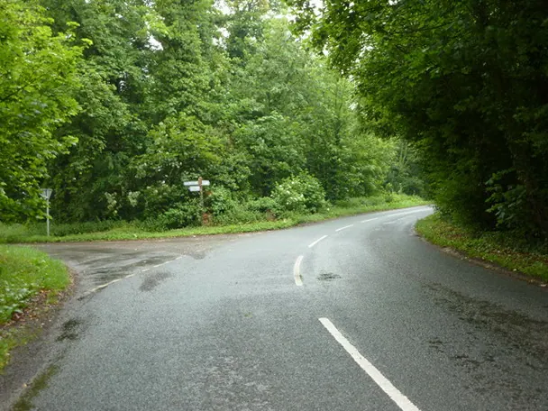
© Alexander P Kapp · Geograph · CC BY-SA 2.0
Images © their respective photographers, licensed under CC BY-SA 2.0 and reused here with attribution. Photographs depict listed buildings, churches and monuments near this settlement and may show neighbouring villages.
Data derived from the Open Domesday project (opendomesday.org), based on the Domesday Book dataset compiled by Professor J.J.N. Palmer and team. The Domesday Book (1086) is in the public domain.
Found an inaccuracy? [email protected]