Wirksworth in the Domesday Book (1086)
The 1086 Domesday survey records the settlement of Wirksworth, entered under the hundred of Hamston in Derbyshire.
Other Settlements in Hamston
- Alsop [-en-le-Dale]
- Ashbourne
- Atlow
- Ballidon
- Bonsall
- Bradbourne
- Brassington
- Broadlowash
- Callow
- Carsington
- Cowley
- Cromford
- Elton
- Hanson [Grange]
The Meaning of the Name
The name Wirksworth is of Anglo-Saxon origin. Its final element derives from the Old English word worð, an enclosure or homestead. The first element is most likely a personal name or an early descriptive term, now difficult to recover with certainty. Taken together the name probably meant something close to ‘a enclosure’.
Remarkably, the name has changed little since 1086, when the Domesday scribes wrote it as Wirksworth.
Listed Buildings Near Wirksworth
Historic England records 96 listed buildings within about a mile of Wirksworth. Listing protects structures of special architectural or historic interest, graded I (exceptional), II* (particularly important) and II.
Grade II*
- Babington House - 0.33 km
- 15, Market Place - 0.42 km
- The Red Lion Hotel - 0.43 km
- 1 Coldwell Street - 0.43 km
Grade II
- Lime Kiln Inn - 0.18 km
- Wirksworth County Infants School and Attached Railings and Walls - 0.23 km
- Meerbrook Sough Engine House - 0.26 km
- Baptist Cemetery Chapel - 0.29 km
- Railings, Gates and Gatepiers to Wirksworth Baptist Cemetery Chapel - 0.29 km
- Moot Hall - 0.33 km
- Durham House and Attached Former Shop - 0.33 km
- The Old Coachhouse and Attached Boundary Wall - 0.41 km
- 1-3, Green Hill - 0.41 km
- Dale House - 0.42 km
- Sunday School - 0.42 km
- The Vaults - 0.43 km
- 15, Coldwell Street - 0.43 km
- 12, Market Place - 0.43 km
- 11, Market Place - 0.44 km
- Royal Oak Inn - 0.44 km
- 16 and 18, North End - 0.44 km
- Outbuilding of Vicarage - 0.45 km
- Mile Post on North West Angle of Town Hall - 0.45 km
- K6 Telephone Kiosk - 0.45 km
…and 72 more listed structures in the area.
Scheduled Monuments Near Wirksworth
Scheduled monuments are nationally important archaeological sites given legal protection. 4 lie within roughly a mile of Wirksworth:
- Standing cross in the churchyard of St Mary’s Church - 0.51 km
- Remains of Nether Ratchwood and Rantor lead mines, 200m west of Old Lane - 0.52 km
- Railway embankment N of Wirksworth - 1.12 km
- Middleton Top winding engine house, wheels and wheel-pit - 1.23 km
Wirksworth Today
Today Wirksworth lies within the administrative area of Derbyshire Dales, and the settlement recorded a population of 4,902 at the 2021 census. Nine and a half centuries separate that figure from the small rural community the Domesday survey recorded here in 1086.
Read more about modern Wirksworth on Wikipedia .
Nearby Domesday Settlements
Other places recorded in the 1086 survey within a few miles:
Heritage Around Wirksworth
Photographs of churches, listed buildings and monuments in the vicinity, contributed by volunteers to the Geograph project and reused here under a Creative Commons licence.
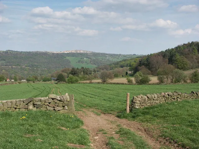
© Mike Fowkes · Geograph · CC BY-SA 2.0
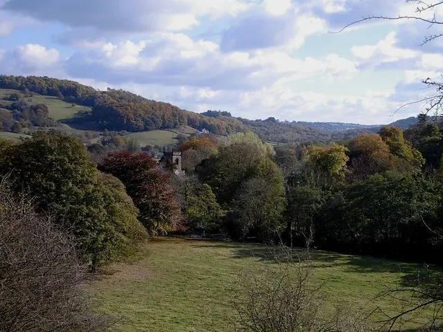
© Dave Bevis · Geograph · CC BY-SA 2.0
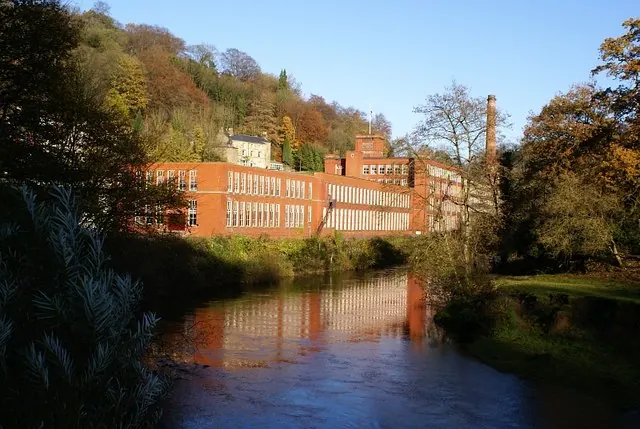
© Nikki Mahadevan · Geograph · CC BY-SA 2.0
Images © their respective photographers, licensed under CC BY-SA 2.0 and reused here with attribution. Photographs depict listed buildings, churches and monuments near this settlement and may show neighbouring villages.
Data derived from the Open Domesday project (opendomesday.org), based on the Domesday Book dataset compiled by Professor J.J.N. Palmer and team. The Domesday Book (1086) is in the public domain.
Found an inaccuracy? [email protected]