Winton in the Domesday Book (1086)
The 1086 Domesday survey records the settlement of Winton, entered under the hundred of Allerton in Yorkshire.
Other Settlements in Allerton
- Ainderby [Steeple]
- Appleton [Wiske]
- Arncliffe [Hall]
- Birkby
- Borrowby
- Brompton
- Cowesby
- Crosby [Grange]
- Dale [Town]
- Deighton
- Ellerbeck
- Foxton
- Girsby
- Hawnby
The Meaning of the Name
The name Winton is of Anglo-Saxon origin. Its final element derives from the Old English word tūn, a farmstead or village. The first element is most likely a personal name or an early descriptive term, now difficult to recover with certainty. Taken together the name probably meant something close to ‘a farmstead’.
Remarkably, the name has changed little since 1086, when the Domesday scribes wrote it as Winton.
Listed Buildings Near Winton
Historic England records 1 listed building within about a mile of Winton. Listing protects structures of special architectural or historic interest, graded I (exceptional), II* (particularly important) and II.
Grade II
- Winton House - 0.63 km
Scheduled Monuments Near Winton
Scheduled monuments are nationally important archaeological sites given legal protection. 4 lie within roughly a mile of Winton:
- Round barrow on Rabbit Hill, 120m north of High Park House - 0.43 km
- Winton medieval settlement including fishponds and field system immediately south of Winton House - 0.54 km
- Sigston Castle: an enclosure castle 400m north of Kirby Sigston church - 1.32 km
- Harlsey Castle - 1.55 km
Winton Today
Today Winton lies within the administrative area of Winton, Stank and Hallikeld.
Read more about modern Winton on Wikipedia .
Nearby Domesday Settlements
Other places recorded in the 1086 survey within a few miles:
- Foxton - 1.0 km E
- Ellerbeck - 2.0 km E
- West Harlsey - 2.0 km N
- Kirby Sigston - 2.0 km S
- Sowerby under Cotcliffe - 3.0 km S
- Newsham Grange - 3.2 km W
Heritage Around Winton
Photographs of churches, listed buildings and monuments in the vicinity, contributed by volunteers to the Geograph project and reused here under a Creative Commons licence.
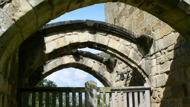
© Paul Howarth · Geograph · CC BY-SA 2.0
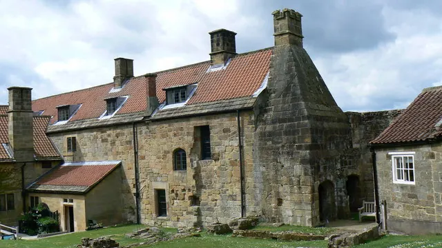
© Paul Howarth · Geograph · CC BY-SA 2.0
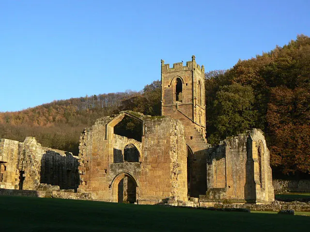
© Alan Murray-Rust · Geograph · CC BY-SA 2.0
Images © their respective photographers, licensed under CC BY-SA 2.0 and reused here with attribution. Photographs depict listed buildings, churches and monuments near this settlement and may show neighbouring villages.
Data derived from the Open Domesday project (opendomesday.org), based on the Domesday Book dataset compiled by Professor J.J.N. Palmer and team. The Domesday Book (1086) is in the public domain.
Found an inaccuracy? [email protected]