Winterburn in the Domesday Book (1086)
Winterburn is named in the Domesday Book, compiled by Norman commissioners in 1086, entered under the hundred of Craven in Yorkshire. The survey assessed Winterburn at 3 carucates of taxable land.
At the time of the survey, Winterburn supported a recorded population of 3 villagers, 4 smallholders, 7 slaves, working 3 ploughs between them.
The survey puts Winterburn’s value at 2.5 shillings, the same as before the Conquest. Unchanged valuations are relatively rare in the North, where disruption was widespread.
Resources Recorded at Winterburn (1086)
- Meadow: 2 acres
Other Settlements in Craven
- Addingham
- Airton
- Anley
- Appletreewick
- Arncliffe
- Arnford
- Barnoldswick
- Bashall [Eaves]
- Battersby [Barn]
- Beamsley
- Birkby [Hall]
- Bogeuurde
- Bolton [Abbey]
- Bolton [by Bowland]
The Meaning of the Name
The origin of the name Winterburn is not securely established from its modern form alone; like many settlement names in the North it likely combines an Old English or Old Norse personal name with a landscape term.
Remarkably, the name has changed little since 1086, when the Domesday scribes wrote it as Winterburn.
Listed Buildings Near Winterburn
Historic England records 7 listed buildings within about a mile of Winterburn. Listing protects structures of special architectural or historic interest, graded I (exceptional), II* (particularly important) and II.
Grade II*
- Friars Head - 1.02 km
Grade II
- Winterburn Chapel - 0.19 km
- Winterburn Bridge - 0.23 km
- The White House - 0.27 km
- Rookeries - 0.36 km
- Skeldgate and Stable End - 1.21 km
- Cowper Cote Farmhouse - 1.24 km
Scheduled Monuments Near Winterburn
Scheduled monuments are nationally important archaeological sites given legal protection. 2 lie within roughly a mile of Winterburn:
- Pillow mounds east of Friars Head, known as Giants’ Graves - 1.0 km
- Cup marked rock in wall east of Scarnber Wood, 500m north east of Bark Laithe, Winterburn - 1.34 km
Winterburn Today
Today Winterburn lies within the administrative area of Flasby with Winterburn.
Read more about modern Winterburn on Wikipedia .
Nearby Domesday Settlements
Other places recorded in the 1086 survey within a few miles:
Heritage Around Winterburn
Photographs of churches, listed buildings and monuments in the vicinity, contributed by volunteers to the Geograph project and reused here under a Creative Commons licence.
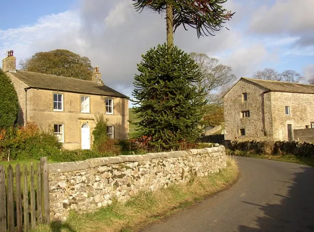
© Humphrey Bolton · Geograph · CC BY-SA 2.0
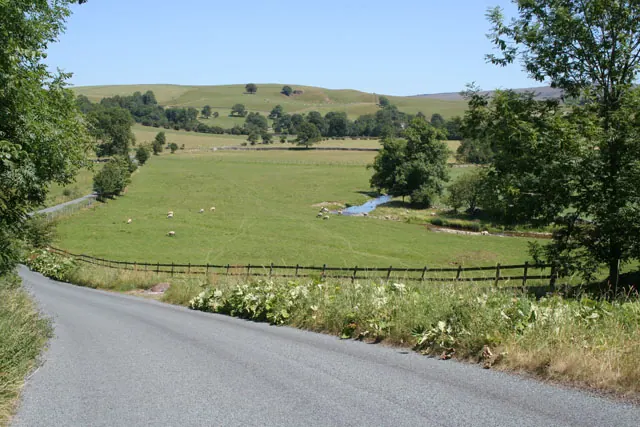
© Kate Jewell · Geograph · CC BY-SA 2.0
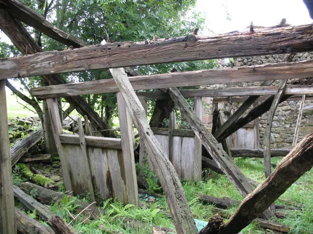
© Stephen Craven · Geograph · CC BY-SA 2.0
Images © their respective photographers, licensed under CC BY-SA 2.0 and reused here with attribution. Photographs depict listed buildings, churches and monuments near this settlement and may show neighbouring villages.
Data derived from the Open Domesday project (opendomesday.org), based on the Domesday Book dataset compiled by Professor J.J.N. Palmer and team. The Domesday Book (1086) is in the public domain.
Found an inaccuracy? [email protected]