Winster in the Domesday Book (1086)
Winster is named in the Domesday Book, compiled by Norman commissioners in 1086, entered under the hundred of Hamston in Derbyshire.
Other Settlements in Hamston
- Alsop [-en-le-Dale]
- Ashbourne
- Atlow
- Ballidon
- Bonsall
- Bradbourne
- Brassington
- Broadlowash
- Callow
- Carsington
- Cowley
- Cromford
- Elton
- Hanson [Grange]
The Meaning of the Name
The origin of the name Winster is not securely established from its modern form alone; like many settlement names in the North it likely combines an Old English or Old Norse personal name with a landscape term.
Remarkably, the name has changed little since 1086, when the Domesday scribes wrote it as Winster.
Listed Buildings Near Winster
Historic England records 68 listed buildings within about a mile of Winster. Listing protects structures of special architectural or historic interest, graded I (exceptional), II* (particularly important) and II.
Grade II*
- The Market Hall - 0.44 km
Grade II
- Lansdowne House and Georgic House - 0.39 km
- Archway House - 0.4 km
- The Old Forge - 0.41 km
- Vernon House - 0.42 km
- Dale Cottage Tite Cottage - 0.42 km
- The Headlands - 0.42 km
- Rose Cottage - 0.42 km
- Anson Row Portaway Cottage - 0.43 km
- Pair of Houses to the West of Vernon House - 0.43 km
- Cottage to the south of the Bowling Green Inn - 0.43 km
- House to the South West of the Headlands - 0.43 km
- Roselea Cottage - 0.43 km
- The Bowling Green Inn - 0.43 km
- House to the North West of the Bowling Green Inn - 0.45 km
- Dene Croft - 0.45 km
- Marmalade Cottage - 0.45 km
- Manse House - 0.46 km
- Jasmine Cottage and Attached House at North End - 0.46 km
- Outbuilding to the South West of Chapel - 0.46 km
- Moot House the Cottage - 0.46 km
- House to the North of and Adjoining Dene Croft - 0.46 km
- Pair of Cottages to the South West of the Wesleyan Reform Chapel - 0.46 km
- Rosedene - 0.47 km
…and 44 more listed structures in the area.
Scheduled Monuments Near Winster
Scheduled monuments are nationally important archaeological sites given legal protection. 4 lie within roughly a mile of Winster:
- Two lead mines known as Winster Pitts and Drummer’s Venture - 0.2 km
- Gorseydale lead mines, 300m north and 650m north west of Moor Farm - 1.04 km
- Slack, Mount Pleasant and Barmasters Grove lead mines 390m south east of Blakelow Farm - 1.55 km
- Beans and Bacon, Old Eye, Fiery Dragon and Cod Beat lead mines and a limekiln 480m south of Blakelow Farm - 1.58 km
Winster Today
Today Winster lies within the administrative area of Derbyshire Dales, and the settlement recorded a population of 552 at the 2021 census. Nine and a half centuries separate that figure from the small rural community the Domesday survey recorded here in 1086.
Read more about modern Winster on Wikipedia .
Nearby Domesday Settlements
Other places recorded in the 1086 survey within a few miles:
- Ivonbrook Grange - 2.0 km S
- Wensley - 2.2 km NE
- Elton - 2.2 km NW
- Birchover - 2.2 km NW
- Cowley - 2.8 km NE
- Snitterton - 3.0 km E
Heritage Around Winster
Photographs of churches, listed buildings and monuments in the vicinity, contributed by volunteers to the Geograph project and reused here under a Creative Commons licence.
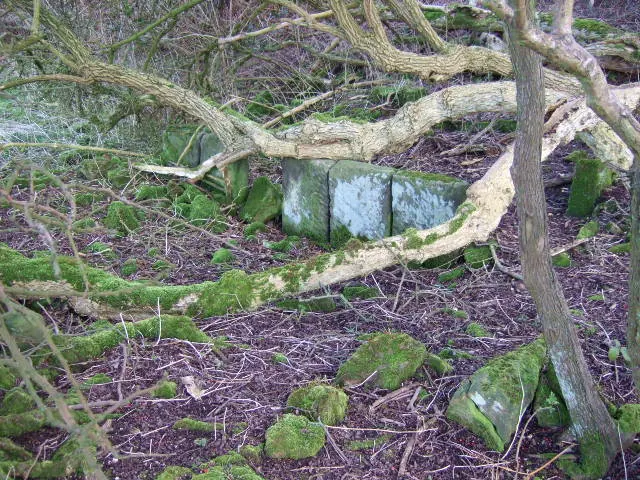
© John Poyser · Geograph · CC BY-SA 2.0
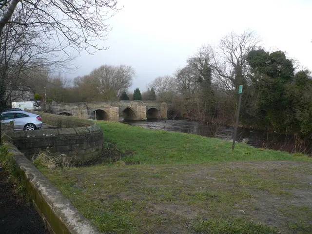
© Alan Heardman · Geograph · CC BY-SA 2.0
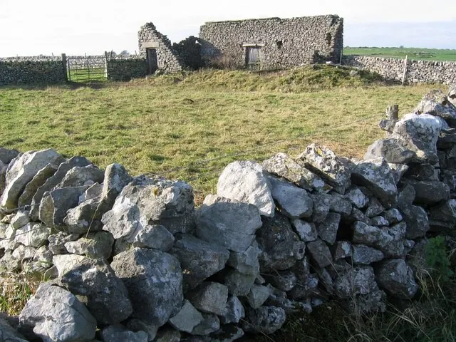
© Nikki Mahadevan · Geograph · CC BY-SA 2.0
Images © their respective photographers, licensed under CC BY-SA 2.0 and reused here with attribution. Photographs depict listed buildings, churches and monuments near this settlement and may show neighbouring villages.
Data derived from the Open Domesday project (opendomesday.org), based on the Domesday Book dataset compiled by Professor J.J.N. Palmer and team. The Domesday Book (1086) is in the public domain.
Found an inaccuracy? [email protected]