Winkton in the Domesday Book (1086)
Winkton is named in the Domesday Book, compiled by Norman commissioners in 1086, entered under the hundred of Holderness [North Hundred] in Yorkshire. The survey assessed Winkton at 4.2 carucates of taxable land.
At the time of the survey, Winkton supported a recorded population of 19 villagers, 9 smallholders, 4 slaves, working 21 ploughs between them.
The survey records Winkton’s value at 23 shillings in 1086. No pre-Conquest figure survives – not unusual in the North, where records were disrupted by the Harrying and by the patchy coverage of the survey.
Resources Recorded at Winkton (1086)
- Mills: 2 mills (valued at 4d)
- Pigs: 14
- Horses (cobs): 1
- Meadow: 24 acres
- Woodland: 1 * 0.5 leagues
Other Settlements in Holderness [North Hundred]
- Arnestorp
- Arram
- Barmston
- Beeford
- Bewholme
- Brandesburton
- Catfoss [Hall]
- Catwick
- Chenecol
- Chenucol
- Chenuthesholm
- Cleeton
- Dringhoe
- Dunnington
The Meaning of the Name
The name Winkton is of Anglo-Saxon origin. Its final element derives from the Old English word tūn, a farmstead or village. The first element is most likely a personal name or an early descriptive term, now difficult to recover with certainty. Taken together the name probably meant something close to ‘a farmstead’.
Remarkably, the name has changed little since 1086, when the Domesday scribes wrote it as Winkton.
Listed Buildings Near Winkton
Historic England records 7 listed buildings within about a mile of Winkton. Listing protects structures of special architectural or historic interest, graded I (exceptional), II* (particularly important) and II.
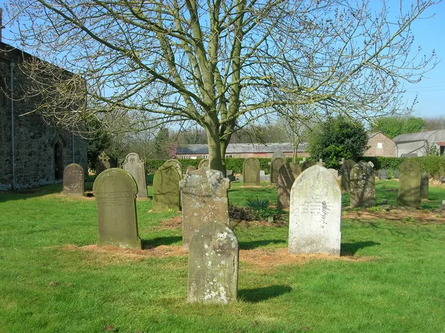
Grade I
- Church of All Saints - 0.62 km
Grade II*
- Old Hall - 0.68 km
Grade II
- Barmston House - 0.66 km
- Pantiles Red Roofs - 0.67 km
- Cattle Shed to Manor Farmhouse - 0.71 km
- Manor Farmhouse - 0.74 km
- 51, Sands Lane - 0.85 km
Scheduled Monuments Near Winkton
Scheduled monuments are nationally important archaeological sites given legal protection. 1 lies within roughly a mile of Winkton:
Nearby Domesday Settlements
Other places recorded in the 1086 survey within a few miles:
Heritage Around Winkton
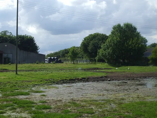
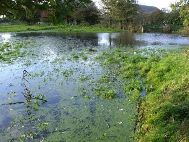
Photographs of churches, listed buildings and monuments in the vicinity, contributed by volunteers to the Geograph project and reused here under a Creative Commons licence.
© nick macneill · Geograph · CC BY-SA 2.0
© Matthew Hatton · Geograph · CC BY-SA 2.0
© JThomas · Geograph · CC BY-SA 2.0
Images © their respective photographers, licensed under CC BY-SA 2.0 and reused here with attribution. Photographs depict listed buildings, churches and monuments near this settlement and may show neighbouring villages.
Location
54.0184°N, -0.2369°W · Holderness [North Hundred] hundred, Yorkshire
View larger map on OpenStreetMap →Data derived from the Open Domesday project (opendomesday.org), based on the Domesday Book dataset compiled by Professor J.J.N. Palmer and team. The Domesday Book (1086) is in the public domain.
Found an inaccuracy? [email protected]