Wimboldsley in the Domesday Book (1086)
The settlement of Wimboldsley is recorded in William I’s Domesday survey of 1086, entered under the hundred of Middlewich in Cheshire. The survey assessed Wimboldsley at 87 carucates of taxable land.
At the time of the survey, Wimboldsley supported a recorded population of 30 villagers, working 9 ploughs between them.
The valuation dropped between 1066 and 1086. Before 1066, Wimboldsley was worth 88 shillings; by 1086 that had dropped to 1.01 shillings – a fall of 98%. Most Yorkshire villages that lost value on this scale were swept up in the Harrying of the North – William’s scorched-earth campaign of 1069–70.
Resources Recorded at Wimboldsley (1086)
- Meadow: 0.5 * 0.5 leagues & 20 acres mixed measures
- Woodland: 16 * 4 leagues
Other Settlements in Middlewich
- Alsager
- Bostock
- Brereton
- Byley
- Clive
- Congleton
- Croxton
- Davenham
- Davenport
- Goostrey
- Hassall
- Kinderton
- Lach [Dennis]
- Leftwich
The Meaning of the Name
The name Wimboldsley is of Anglo-Saxon origin. Its final element derives from the Old English word lēah, a woodland clearing or glade. The first element is most likely a personal name or an early descriptive term, now difficult to recover with certainty. Taken together the name probably meant something close to ‘a clearing’.
Remarkably, the name has changed little since 1086, when the Domesday scribes wrote it as Wimboldsley.
Listed Buildings Near Wimboldsley
Historic England records 7 listed buildings within about a mile of Wimboldsley. Listing protects structures of special architectural or historic interest, graded I (exceptional), II* (particularly important) and II.
Grade II*
Grade II
- Middlewich Branch Canal Bridge Number 19 at 680 624 - 0.53 km
- Middlewich Branch Canal Bridge Number 18 at Sj 679 621 - 0.7 km
- Newfield Hall - 0.75 km
- Summer House in Grounds of Newfield Hall - 0.79 km
- Middlewich Branch Canal Bridge Number 20 at Sj 679 630 - 0.86 km
- Woodhouse Farm House - 1.2 km
Wimboldsley Today
Today Wimboldsley lies within the administrative area of Stanthorne and Wimboldsley, and the settlement recorded a population of 153 at the 2011 census. Nine and a half centuries separate that figure from the small rural community the Domesday survey recorded here in 1086.
Read more about modern Wimboldsley on Wikipedia .
Nearby Domesday Settlements
Other places recorded in the 1086 survey within a few miles:
- Occleston - 1.0 km E
- Minshull Vernon - 2.2 km SW
- Weaver - 2.8 km NW
- Sutton - 2.8 km NE
- Church Minshull - 2.8 km SW
- Tetton - 3.2 km E
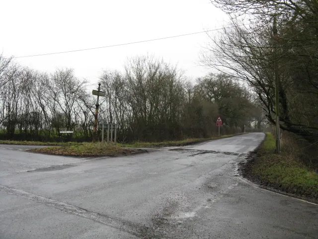
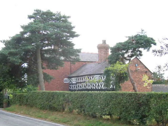
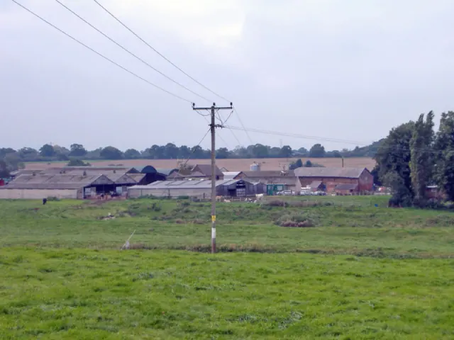
Heritage Around Wimboldsley
Photographs of churches, listed buildings and monuments in the vicinity, contributed by volunteers to the Geograph project and reused here under a Creative Commons licence.
© Peter Whatley · Geograph · CC BY-SA 2.0
© Stephen Craven · Geograph · CC BY-SA 2.0
© Mike Harris · Geograph · CC BY-SA 2.0
Images © their respective photographers, licensed under CC BY-SA 2.0 and reused here with attribution. Photographs depict listed buildings, churches and monuments near this settlement and may show neighbouring villages.
Data derived from the Open Domesday project (opendomesday.org), based on the Domesday Book dataset compiled by Professor J.J.N. Palmer and team. The Domesday Book (1086) is in the public domain.
Found an inaccuracy? [email protected]