Wilton in the Domesday Book (1086)
Wilton appears in the Domesday Book of 1086, entered under the hundred of Langbaurgh in Yorkshire. The survey assessed Wilton at 10 carucates of taxable land.
At the time of the survey, Wilton supported a recorded population of 4 villagers, 7 smallholders, 4 slaves, working 4 ploughs between them.
The survey records Wilton’s value at 6 shillings in 1086. No pre-Conquest figure survives – not unusual in the North, where records were disrupted by the Harrying and by the patchy coverage of the survey.
Resources Recorded at Wilton (1086)
- Mills: 1 mill (valued at 3d)
- Meadow: 20 acres
- Woodland: 9 acres
Other Settlements in Langbaurgh
- Acklam
- Airy [Holme]
- Aislaby
- Arnodestorp
- Baldebi
- Barnaby
- Barwick
- Battersby
- Bergolbi
- Berguluesbi
- Blaten [Carr]
- Borrowby
- Breck
- Brotton
The Meaning of the Name
The name Wilton is of Anglo-Saxon origin. Its final element derives from the Old English word tūn, a farmstead or village. The first element is most likely a personal name or an early descriptive term, now difficult to recover with certainty. Taken together the name probably meant something close to ‘a farmstead’.
Remarkably, the name has changed little since 1086, when the Domesday scribes wrote it as Wilton.
Listed Buildings Near Wilton
Historic England records 21 listed buildings within about a mile of Wilton. Listing protects structures of special architectural or historic interest, graded I (exceptional), II* (particularly important) and II.
Grade II*
- Church of St Cuthbert - 0.4 km
Grade II
- Numbers 3 and 4 and Wall Attached - 0.32 km
- 1 and 2, Wilton Village - 0.33 km
- 5, Wilton Village - 0.34 km
- Pine Trees and Wall Attached - 0.34 km
- 9 and 10, Wilton Village - 0.35 km
- K6 Telephone Kiosk 2 Metres West of I.c.i. Estate Workshops - 0.35 km
- Imperial Chemical Industries Estate Workshops - 0.36 km
- 16 and 17, Wilton Village - 0.36 km
- 7 and 8, Wilton Village - 0.37 km
- Garden Wall South East of Wilton Castle - 0.37 km
- 18-21, Wilton Village - 0.38 km
- Ivy Cottage - 0.39 km
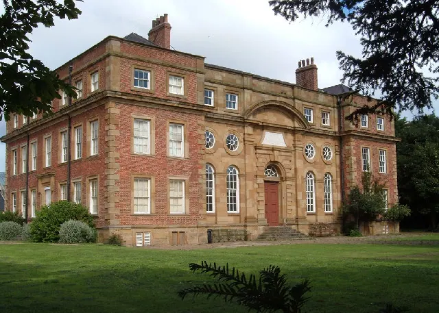
- Wilton Castle - 0.46 km
- Wilton Farmhouse - 0.47 km
- The Cottage Stable Coach House and Coach House Circa 14 Metres East of Wilton Farmhouse - 0.47 km
- Retaining Wall and Stair to Forecourt of Wilton Castle - 0.48 km
- Stable Block Circa 10 Metres West of Wilton Castle - 0.51 km
- Lovell Drift Fan House - 0.82 km
- North Lodge - 0.84 km
- Grange Farmhouse and Farm Cottage - 1.12 km
Scheduled Monuments Near Wilton
Scheduled monuments are nationally important archaeological sites given legal protection. 9 lie within roughly a mile of Wilton:
- Bowl barrow 550m north-west of Court Green Farm - 0.97 km
- Bowl barrow 1km north-west of Court Green Farm - 1.01 km
- Bowl barrow 600m north-west of Court Green Farm - 1.12 km
- Bowl barrow 850m north-west of High Court Green - 1.32 km
- Bowl barrow 800m north of High Barnaby Farm - 1.46 km
- Bowl barrow 1km north-west of High Court Green - 1.46 km
- Two bowl barrows 700m north-west of High Court Green - 1.54 km
- Bowl barrow 1.1km north-west of High Court Green - 1.55 km
- Bowl barrow 500m north-west of High Court Green - 1.57 km
Wilton Today
Today Wilton lies within the administrative area of Redcar and Cleveland.
Read more about modern Wilton on Wikipedia .
Nearby Domesday Settlements
Other places recorded in the 1086 survey within a few miles:
- Lazenby - 1.0 km W
- Lackenby - 2.0 km W
- Kirkleatham - 2.2 km NE
- Eston - 3.2 km W
- Thornton Fields - 3.2 km E
- Barnaby - 3.2 km S
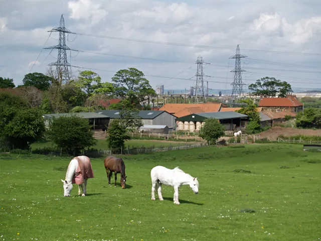
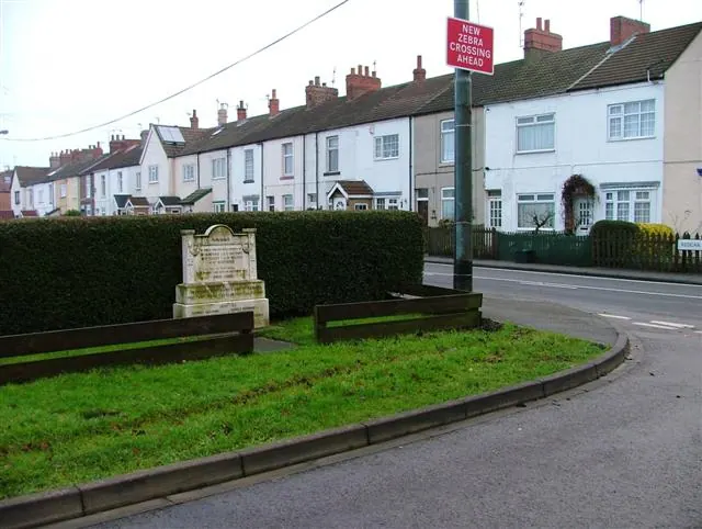
Heritage Around Wilton
Photographs of churches, listed buildings and monuments in the vicinity, contributed by volunteers to the Geograph project and reused here under a Creative Commons licence.
© Stephen McCulloch · Geograph · CC BY-SA 2.0
© Mick Garratt · Geograph · CC BY-SA 2.0
© Alison Stamp · Geograph · CC BY-SA 2.0
Images © their respective photographers, licensed under CC BY-SA 2.0 and reused here with attribution. Photographs depict listed buildings, churches and monuments near this settlement and may show neighbouring villages.
Data derived from the Open Domesday project (opendomesday.org), based on the Domesday Book dataset compiled by Professor J.J.N. Palmer and team. The Domesday Book (1086) is in the public domain.
Found an inaccuracy? [email protected]