Wilsic Hall in the Domesday Book (1086)
Wilsic Hall is named in the Domesday Book, compiled by Norman commissioners in 1086, entered under the hundred of Strafforth in Yorkshire.
Other Settlements in Strafforth
- Adwick [le Street]
- Adwick [upon Dearne]
- Armthorpe
- Aston
- Attercliffe
- Auckley
- Aughton [Hall]
- Austerfield
- Balby
- Barnbrough
- Barnby [Dun]
- Bentley
- Bilham [House]
- Billingley
The Meaning of the Name
The origin of the name Wilsic Hall is not securely established from its modern form alone; like many settlement names in the North it likely combines an Old English or Old Norse personal name with a landscape term.
Remarkably, the name has changed little since 1086, when the Domesday scribes wrote it as Wilsic Hall.
Listed Buildings Near Wilsic Hall
Historic England records 5 listed buildings within about a mile of Wilsic Hall. Listing protects structures of special architectural or historic interest, graded I (exceptional), II* (particularly important) and II.
Grade II
- Ha Ha Approximately 60 Metres to South of Wilsic of Wilsic School With Gatepiers at East End - 0.38 km
- Milestone Opposite Home Farm - 0.39 km
- Wilsic Hall - 0.44 km
- Entrance gateway to Wilsic Hall School - 0.72 km
- Pair of Concrete Silos at Wilsic Lodge Farm - 0.81 km
Wilsic Hall Today
Today Wilsic Hall lies within the administrative area of Stainton.
Read more about modern Wilsic on Wikipedia .
Nearby Domesday Settlements
Other places recorded in the 1086 survey within a few miles:
- Old Edlington - 3.6 km NW
- Stancil - 4.0 km E
- Braithwell - 4.1 km W
- Dadsley - 4.2 km SE
- Clifton - 5.1 km W
- Warmsworth - 5.4 km N
Heritage Around Wilsic [Hall]
Photographs of churches, listed buildings and monuments in the vicinity, contributed by volunteers to the Geograph project and reused here under a Creative Commons licence.
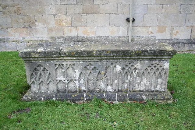
© Richard Croft · Geograph · CC BY-SA 2.0
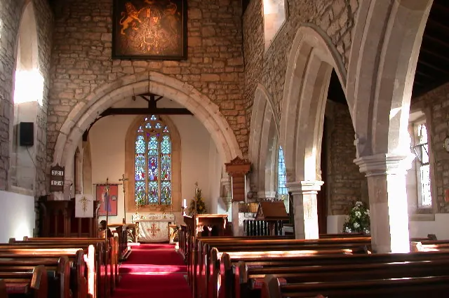
© Anthony Wilding · Geograph · CC BY-SA 2.0
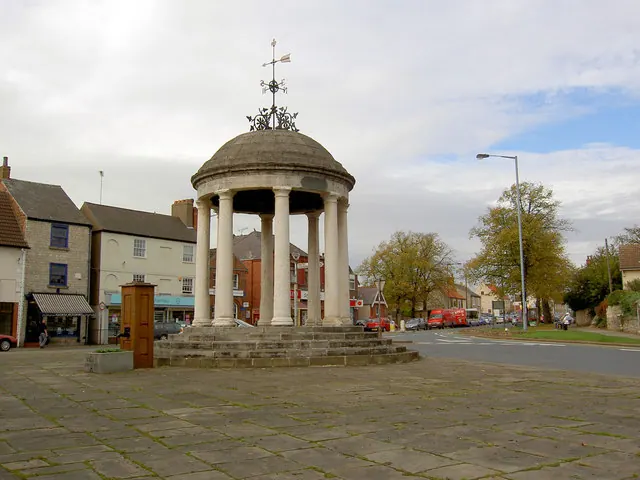
© Steve Fareham · Geograph · CC BY-SA 2.0
Images © their respective photographers, licensed under CC BY-SA 2.0 and reused here with attribution. Photographs depict listed buildings, churches and monuments near this settlement and may show neighbouring villages.
Data derived from the Open Domesday project (opendomesday.org), based on the Domesday Book dataset compiled by Professor J.J.N. Palmer and team. The Domesday Book (1086) is in the public domain.
Found an inaccuracy? [email protected]