Wilsden in the Domesday Book (1086)
Wilsden appears in the Domesday Book of 1086, entered under the hundred of Morley in Yorkshire.
Other Settlements in Morley
- Allerton
- Armley
- Batley
- Beeston
- Bolton
- Bowling
- Bradford
- Bramley
- Calverley
- Carlton
- Chellow [Grange]
- Clayton
- Clifton
- Cruttonstall
The Meaning of the Name
The origin of the name Wilsden is not securely established from its modern form alone; like many settlement names in the North it likely combines an Old English or Old Norse personal name with a landscape term.
Remarkably, the name has changed little since 1086, when the Domesday scribes wrote it as Wilsden.
Listed Buildings Near Wilsden
Historic England records 20 listed buildings within about a mile of Wilsden. Listing protects structures of special architectural or historic interest, graded I (exceptional), II* (particularly important) and II.
Grade II
- Norr Fold Farm Barn - 0.05 km
- Norr Fold Farm Cottage Norr Fold Farmhouse - 0.08 km
- 134 and 136, Main Street - 0.37 km
- Mechanics Institute - 0.37 km
- 4-20 Club Row Including 118 Main Street - 0.38 km
- Numbers 71 to 77 (Odd) and Numbers 1 to 5 (Odd) Garden View (Adjoining to North East) - 0.41 km
- Wilsden Independent Sunday School - 0.42 km
- Walls Flanking Footpaths To’ Wilsden Hill’ and the Recreation Ground - 0.42 km
- Spring Mill House - 0.42 km
- Wilsden Cooperative Society - 0.43 km
- Manor House and Attached Barn - 0.46 km
- 2-16, Chapel Row - 0.54 km
- Lee Farmhouse and Attached Barn - 0.55 km
- Number 38 (Woodlands Farmhouse) and Cottage Adjoining to South West - 0.71 km
- March Cote Farmhouse - 1.07 km
- Stock-a-close Farmhouse - 1.21 km
- Barn Approximately 10 Metres South East of Stock-a-close Farmhouse - 1.22 km
- St Davids Ruin - 1.28 km
- Upper Swain Royd Farmhouse - 1.29 km
- Bank Bottom Cottage - 1.29 km
Scheduled Monuments Near Wilsden
Scheduled monuments are nationally important archaeological sites given legal protection. 2 lie within roughly a mile of Wilsden:
- Late prehistoric enclosed settlement 150m north of Shaygate Farm, Wilsden - 0.87 km
- Five carved rocks in Cottingley Woods, 600m NNE of Lee Farm - 1.42 km
Wilsden Today
Today Wilsden lies within the administrative area of Bradford, and the settlement recorded a population of 4,631 at the 2021 census. Nine and a half centuries separate that figure from the small rural community the Domesday survey recorded here in 1086.
Read more about modern Wilsden on Wikipedia .
Nearby Domesday Settlements
Other places recorded in the 1086 survey within a few miles:
- Halton - 2.0 km N
- Cottingley - 2.2 km NE
- Cullingworth - 3.0 km W
- Chellow Grange - 3.2 km E
- Bingley - 3.2 km N
- Allerton - 3.6 km SE
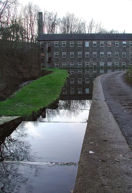
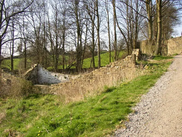
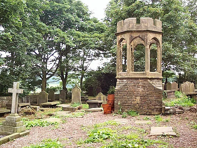
Heritage Around Wilsden
Photographs of churches, listed buildings and monuments in the vicinity, contributed by volunteers to the Geograph project and reused here under a Creative Commons licence.
© Paul Glazzard · Geograph · CC BY-SA 2.0
© Humphrey Bolton · Geograph · CC BY-SA 2.0
© David Spencer · Geograph · CC BY-SA 2.0
Images © their respective photographers, licensed under CC BY-SA 2.0 and reused here with attribution. Photographs depict listed buildings, churches and monuments near this settlement and may show neighbouring villages.
Data derived from the Open Domesday project (opendomesday.org), based on the Domesday Book dataset compiled by Professor J.J.N. Palmer and team. The Domesday Book (1086) is in the public domain.
Found an inaccuracy? [email protected]