Wildthorpe in the Domesday Book (1086)
Wildthorpe appears in the Domesday Book of 1086, entered under the hundred of Strafforth in Yorkshire.
Other Settlements in Strafforth
- Adwick [le Street]
- Adwick [upon Dearne]
- Armthorpe
- Aston
- Attercliffe
- Auckley
- Aughton [Hall]
- Austerfield
- Balby
- Barnbrough
- Barnby [Dun]
- Bentley
- Bilham [House]
- Billingley
The Meaning of the Name
The name Wildthorpe is of Scandinavian origin. Its final element derives from the Old Norse word þorp, an outlying or secondary farmstead. The first element is most likely a personal name or an early descriptive term, now difficult to recover with certainty. Taken together the name probably meant something close to ‘a outlying farm’.
Names of this type are a fingerprint of Scandinavian settlement: they cluster across the old Danelaw, where Norse-speaking settlers renamed or founded villages from the late 9th century onward.
Remarkably, the name has changed little since 1086, when the Domesday scribes wrote it as Wildthorpe.
Listed Buildings Near Wildthorpe
Historic England records 11 listed buildings within about a mile of Wildthorpe. Listing protects structures of special architectural or historic interest, graded I (exceptional), II* (particularly important) and II.
Grade II*
- Church of St James - 0.77 km
Grade II
- Milestone Against Roadside Wall Immediately to North of Leylands Farm Cottages - 0.77 km
- Red House Farmhouse - 0.8 km
- The Leylands - 0.8 km
- Students Union Building to High Melton College - 0.81 km
- White House Farmhouse - 0.81 km
- Manor House - 0.83 km
- Numbers 1-7 (Odd) Including Wall and Outbuildings Enclosing Rear Yard - 0.86 km
- High Melton Hall - 0.87 km
- Church of St John - 0.95 km
- Barn Approximately 40 Metres to Rear of Cadeby Inn - 1.03 km
Scheduled Monuments Near Wildthorpe
Scheduled monuments are nationally important archaeological sites given legal protection. 4 lie within roughly a mile of Wildthorpe:
- Wildthorpe medieval settlement 680m south of Leylands Farm - 0.54 km
- Icehouse 720m south east of Bath House Farm - 0.79 km
- King Hengist Rein long cairn - 1.28 km
- Romano-British enclosure and earthworks in Pot Ridings Wood - 1.43 km
Nearby Domesday Settlements
Other places recorded in the 1086 survey within a few miles:
- High Melton - 1.0 km W
- Cadeby - 1.0 km S
- Sprotbrough - 2.2 km NE
- Conisbrough - 3.0 km S
- Warmsworth - 3.2 km E
- Scinestorp - 3.6 km NE
Heritage Around Wildthorpe
Photographs of churches, listed buildings and monuments in the vicinity, contributed by volunteers to the Geograph project and reused here under a Creative Commons licence.
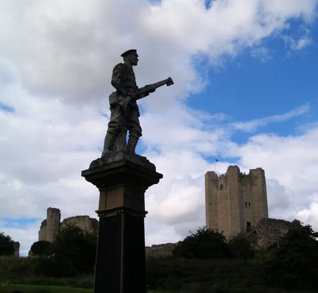
© Steve Fareham · Geograph · CC BY-SA 2.0
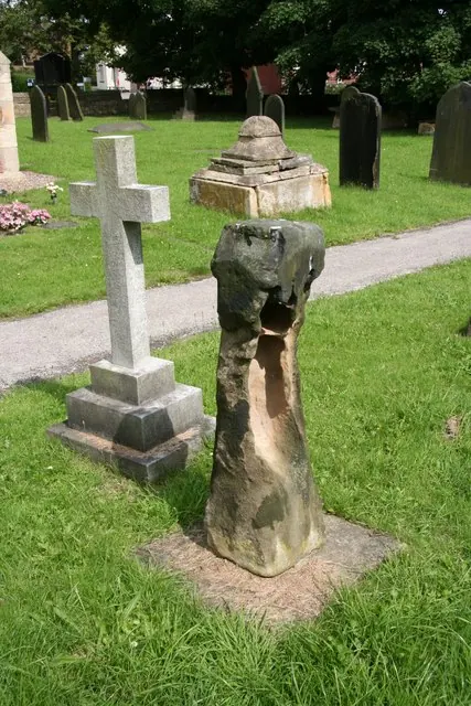
© Richard Croft · Geograph · CC BY-SA 2.0
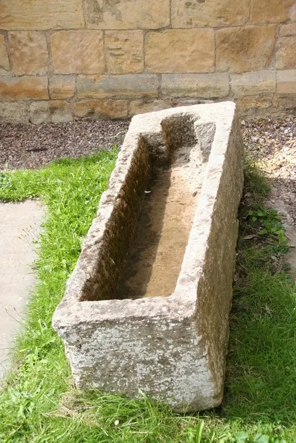
© Richard Croft · Geograph · CC BY-SA 2.0
Images © their respective photographers, licensed under CC BY-SA 2.0 and reused here with attribution. Photographs depict listed buildings, churches and monuments near this settlement and may show neighbouring villages.
Data derived from the Open Domesday project (opendomesday.org), based on the Domesday Book dataset compiled by Professor J.J.N. Palmer and team. The Domesday Book (1086) is in the public domain.
Found an inaccuracy? [email protected]