Wibaldeslei in the Domesday Book (1086)
The 1086 Domesday survey records the settlement of Wibaldeslei, entered under the hundred of [West] Derby in Cheshire.
Other Settlements in [West] Derby
- Ainsdale
- Allerton
- Argarmeles
- Aughton
- Barton
- Bootle
- Childwall
- Dalton
- Downholland
- Formby
- Halsall
- Hurlston
- Huyton
- Ince [Blundell]
The Meaning of the Name
The origin of the name Wibaldeslei is not securely established from its modern form alone; like many settlement names in the North it likely combines an Old English or Old Norse personal name with a landscape term.
Remarkably, the name has changed little since 1086, when the Domesday scribes wrote it as Wibaldeslei.
Listed Buildings Near Wibaldeslei
Historic England records 146 listed buildings within about a mile of Wibaldeslei. Listing protects structures of special architectural or historic interest, graded I (exceptional), II* (particularly important) and II.
Grade II
- Redbourne - 0.1 km
- Former coach house to Aymestrey Court - 0.11 km
- Former Lodge to Aymestrey Court - 0.12 km
- Crawfordsburn Mossdene Strawberry House - 0.16 km
- 2, Gateacre Brow - 0.18 km
- 4, Gateacre Brow - 0.18 km
- 8, Gateacre Brow - 0.19 km
- 6, Gateacre Brow - 0.19 km
- 10 and 12, Gateacre Brow - 0.2 km
- Unitarian Chapel - 0.23 km
- Acrefield Cottage - 0.24 km
- 34, Gateacre Brow - 0.26 km
- 28A, 28B, 28C, 28D, Gateacre Brow - 0.26 km
- 38 and 40, Gateacre Brow - 0.27 km
- 42, Gateacre Brow - 0.28 km
- Gateacre Grange - 0.28 km
- Tower House Towers Cottage Woolton Tower - 0.28 km
- The Brown Cow - 0.29 km
- Former Clegg’s factory building - 0.29 km
- The Black Bull Public House - 0.3 km
- Lodge and Stable Block to Gateacre Grange - 0.31 km
- 5-9, Halewood Road - 0.31 km
- Drinking Fountain - 0.32 km
- Jubilee Memorial - 0.32 km
…and 122 more listed structures in the area.
Wibaldeslei Today
Today Wibaldeslei lies within the administrative area of Liverpool.
Read more about modern Gateacre on Wikipedia .
Nearby Domesday Settlements
Other places recorded in the 1086 survey within a few miles:
- Allerton - 1.0 km W
- Little Woolton - 1.0 km E
- Much Woolton - 1.0 km S
- Childwall - 2.0 km N
- Wavertree - 3.6 km NW
- Tarbock - 4.0 km E
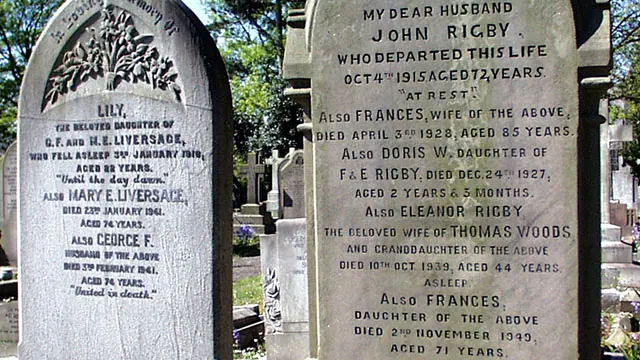
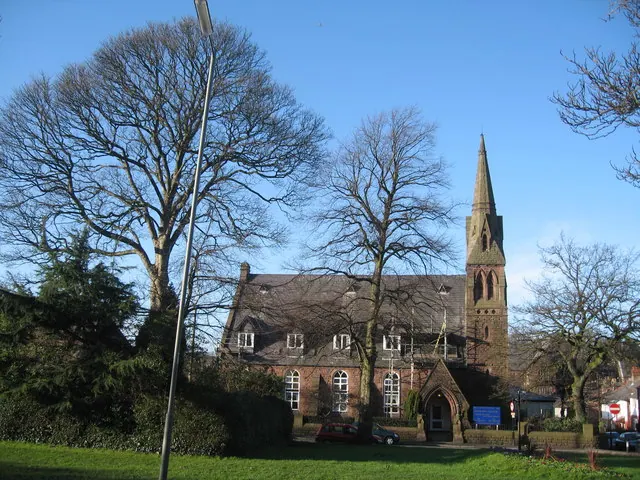
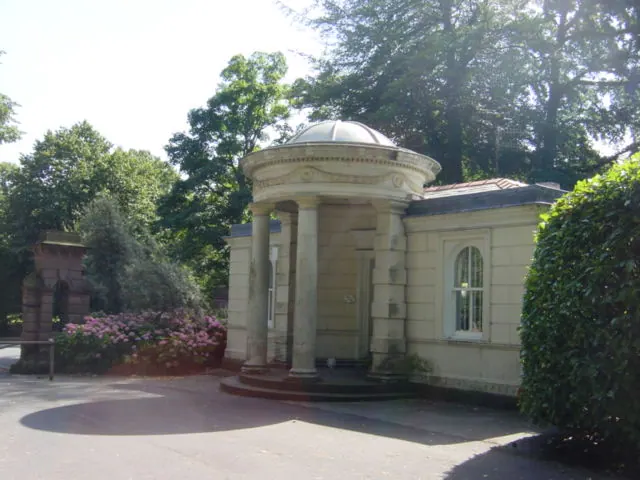
Heritage Around Wibaldeslei
Photographs of churches, listed buildings and monuments in the vicinity, contributed by volunteers to the Geograph project and reused here under a Creative Commons licence.
© Peter Tarleton · Geograph · CC BY-SA 2.0
© Sue Adair · Geograph · CC BY-SA 2.0
© Sue Adair · Geograph · CC BY-SA 2.0
Images © their respective photographers, licensed under CC BY-SA 2.0 and reused here with attribution. Photographs depict listed buildings, churches and monuments near this settlement and may show neighbouring villages.
Data derived from the Open Domesday project (opendomesday.org), based on the Domesday Book dataset compiled by Professor J.J.N. Palmer and team. The Domesday Book (1086) is in the public domain.
Found an inaccuracy? [email protected]