Whittington in the Domesday Book (1086)
The settlement of Whittington is recorded in William I’s Domesday survey of 1086, entered under the hundred of Amounderness in Yorkshire.
Other Settlements in Amounderness
- Aighton
- Aldcliffe
- Aldingham
- Arkholme
- Aschebi
- Ashton [Hall]
- Ashton [on Ribble]
- Austwick
- Barbon
- Bardsea
- Bare
- Barnoldswick
- Barton
- Beetham
The Meaning of the Name
The name Whittington is of Anglo-Saxon origin. Its final element derives from the Old English word tūn, a farmstead or village. The first element is most likely a personal name or an early descriptive term, now difficult to recover with certainty. Taken together the name probably meant something close to ‘a farmstead’.
Remarkably, the name has changed little since 1086, when the Domesday scribes wrote it as Whittington.
Listed Buildings Near Whittington
Historic England records 37 listed buildings within about a mile of Whittington. Listing protects structures of special architectural or historic interest, graded I (exceptional), II* (particularly important) and II.
Grade II*
- Church of St Michael - 0.65 km
Grade II
- Milestone - 0.25 km
- Wayside - 0.45 km
- Croft View - 0.48 km
- Cross House and Barn Adjoining to East - 0.49 km
- Whittington Farmhouse and Barn Adjoining to East - 0.49 km
- Park House - 0.49 km
- Manor House - 0.57 km
- Old Rectory - 0.59 km
- Old School and School House - 0.61 km
- Hillside - 0.62 km
- Malt Kiln and Barn Adjoining to South - 0.64 km
- Low Hall and Low Hall Cottage - 0.67 km
- Low Hall Barn - 0.69 km
- Sundial and base, west of Church of St Michael - 0.69 km
- Barn on roadside, approximately 50 metres west of Low Hall - 0.69 km
- Pearson House - 0.72 km
- Home Farmhouse, With Dairy and Tea Room Attached - 0.74 km
- South Lodge With Adjoining Gate Piers and Their Flanking Walls - 0.82 km
- Milestone - 0.83 km
- Barn Approx. 8 Metres North of High House - 0.96 km
- High House - 0.96 km
- Former Stables North of Whittington Hall - 0.97 km
- Wall Enclosing Courtyard South of Whittington Hall - 0.99 km
…and 13 more listed structures in the area.
Scheduled Monuments Near Whittington
Scheduled monuments are nationally important archaeological sites given legal protection. 3 lie within roughly a mile of Whittington:
- Whittington motte and bailey castle - 0.68 km
- Sellet Bank prehistoric defended enclosure - 0.86 km
- Roman fort and civil settlement, Over Burrow - 1.0 km
Whittington Today
Today Whittington lies within the administrative area of Lancaster, and the settlement recorded a population of 345 at the 2021 census. Nine and a half centuries separate that figure from the small rural community the Domesday survey recorded here in 1086.
Read more about modern Whittington on Wikipedia .
Nearby Domesday Settlements
Other places recorded in the 1086 survey within a few miles:
- Thirnby Wood - 1.4 km NE
- Newton - 2.2 km SW
- Tunstall - 3.0 km S
- Kirkby Lonsdale - 3.2 km N
- Hutton Roof - 3.6 km NW
- Casterton - 3.6 km NE
Heritage Around Whittington
Photographs of churches, listed buildings and monuments in the vicinity, contributed by volunteers to the Geograph project and reused here under a Creative Commons licence.
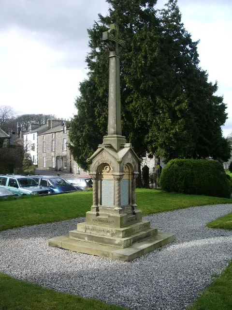
© Alexander P Kapp · Geograph · CC BY-SA 2.0
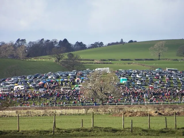
© William Bartlett · Geograph · CC BY-SA 2.0
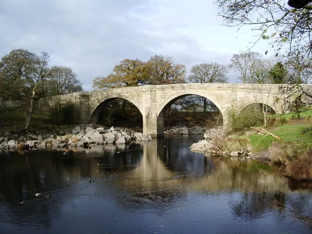
© Alexander P Kapp · Geograph · CC BY-SA 2.0
Images © their respective photographers, licensed under CC BY-SA 2.0 and reused here with attribution. Photographs depict listed buildings, churches and monuments near this settlement and may show neighbouring villages.
Data derived from the Open Domesday project (opendomesday.org), based on the Domesday Book dataset compiled by Professor J.J.N. Palmer and team. The Domesday Book (1086) is in the public domain.
Found an inaccuracy? [email protected]