Whitfield in the Domesday Book (1086)
The 1086 Domesday survey records the settlement of Whitfield, entered under the hundred of Blackwell in Derbyshire.
Other Settlements in Blackwell
- Abney
- Ashford [-in-the-Water]
- Aston
- Bakewell
- Bamford
- Baslow
- Beeley
- Birchills
- Birchover
- Blackwell
- Bradwell
- Bubnell
- Burley
- Burton
The Meaning of the Name
The name Whitfield is of Anglo-Saxon origin. Its final element derives from the Old English word feld, open country. The first element is most likely a personal name or an early descriptive term, now difficult to recover with certainty. Taken together the name probably meant something close to ‘a open land’.
Remarkably, the name has changed little since 1086, when the Domesday scribes wrote it as Whitfield.
Listed Buildings Near Whitfield
Historic England records 47 listed buildings within about a mile of Whitfield. Listing protects structures of special architectural or historic interest, graded I (exceptional), II* (particularly important) and II.
Grade II
- Whitfield Well - 0.07 km
- 35, Whitfield Cross - 0.1 km
- Flatt Farmhouse - 0.2 km
- 3 and 5, Hague Street - 0.2 km
- Numbers 7 and 29 and 31 and Stone Perron With Iron Rail to Front - 0.2 km
- The School House and Numbers 1 and 2 School Buildings - 0.2 km
- 22, 24 and 28, Hague Street - 0.26 km
- Hobb Hill Cottage - 0.26 km
- 40, Hague Street - 0.29 km
- 53, Hague Street - 0.29 km
- 55, 57 and 59, Hague Street - 0.31 km
- 52, 54 and 56, Hague Street - 0.32 km
- 61, Hague Street - 0.34 km
- 60, 62 and 64, Hague Street - 0.36 km
- Church of St James the Great - 0.38 km
- Lychgate and Wall to Church of St James the Great - 0.38 km
- Bodycheck - 0.4 km
- Wood Monument Approximately 40 Metres to South West Corner of Church of St James the Great - 0.42 km
- Re North and Co Limited and Attached Railings and Gate Piers - 0.42 km
- Two Lodges and Gates to Woods Mill and Attached Wall (Woods Mill Not Included) - 0.53 km
- Former Dollars Public House - 0.56 km
- 8-14, High Street East - 0.58 km
- Howard Town House - 0.58 km
- Town Hall and Market Hall With Attached Railings and Piers - 0.58 km
…and 23 more listed structures in the area.
Whitfield Today
Today Whitfield lies within the administrative area of High Peak.
Read more about modern Whitfield on Wikipedia .
Nearby Domesday Settlements
Other places recorded in the 1086 survey within a few miles:
- Old Glossop - 1.4 km NE
- Higher and Lower Dinting - 1.4 km NW
- Chunal - 2.0 km S
- Padfield and Little Padfield - 3.0 km N
- Charlesworth - 3.2 km W
- Hadfield - 3.2 km N
Heritage Around Whitfield
Photographs of churches, listed buildings and monuments in the vicinity, contributed by volunteers to the Geograph project and reused here under a Creative Commons licence.
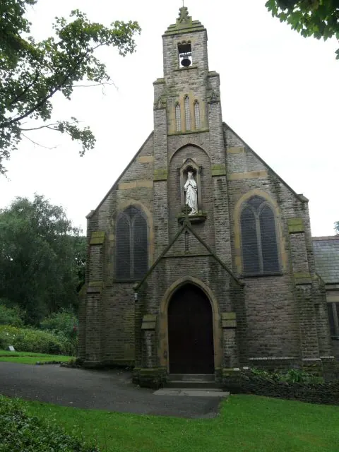
© Gerald England · Geograph · CC BY-SA 2.0
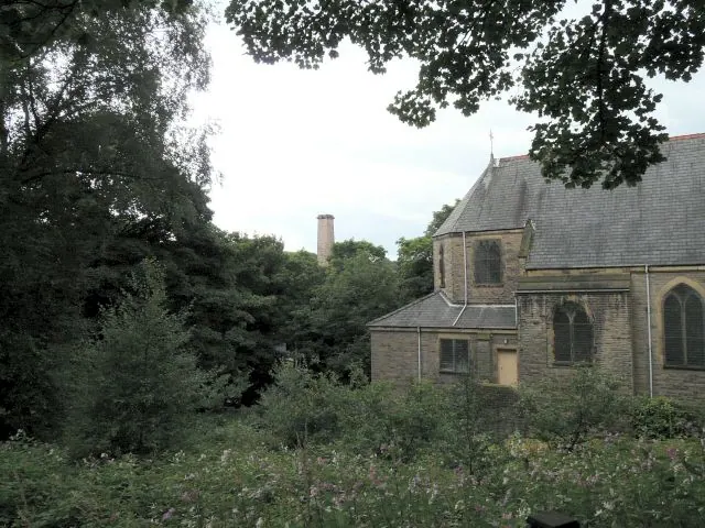
© Gerald England · Geograph · CC BY-SA 2.0
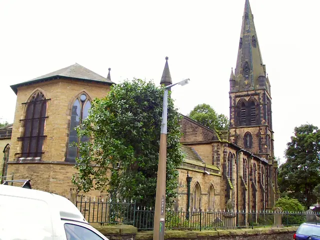
© Roger May · Geograph · CC BY-SA 2.0
Images © their respective photographers, licensed under CC BY-SA 2.0 and reused here with attribution. Photographs depict listed buildings, churches and monuments near this settlement and may show neighbouring villages.
Data derived from the Open Domesday project (opendomesday.org), based on the Domesday Book dataset compiled by Professor J.J.N. Palmer and team. The Domesday Book (1086) is in the public domain.
Found an inaccuracy? [email protected]