Whitchurch in the Domesday Book (1086)
Whitchurch is named in the Domesday Book, compiled by Norman commissioners in 1086, entered under the hundred of Hodnet in SHR.
Other Settlements in Hodnet
- Adderley
- Alkington
- Aston
- Bearstone
- Betton
- Calverhall
- Coton
- Cotton
- Dodington
- Dorrington
- Edgeley
- Edstaston
- Ellerdine
- Gravenhunger
The Meaning of the Name
The origin of the name Whitchurch is not securely established from its modern form alone; like many settlement names in the North it likely combines an Old English or Old Norse personal name with a landscape term.
Remarkably, the name has changed little since 1086, when the Domesday scribes wrote it as Whitchurch.
Listed Buildings Near Whitchurch
Historic England records 103 listed buildings within about a mile of Whitchurch. Listing protects structures of special architectural or historic interest, graded I (exceptional), II* (particularly important) and II.
Grade II*
- 17, Green End - 0.31 km
- 5, Dodington - 0.35 km
Grade II
- Whitchurch War Memorial - 0.07 km
- 1-7, Talbot Street - 0.1 km
- Weston House - 0.11 km
- Former Stable Approximately 5 Metres to South of Number 58 (Weston House) - 0.13 km
- Churton Memorial Drinking Fountain - 0.13 km
- 63, Green End - 0.15 km
- Talbot House - 0.16 km
- 24, Green End - 0.28 km
- 20 and 22, Green End - 0.29 km
- 18, Green End - 0.3 km
- Forecourt Wall and Piers Approximately 2 Metres to Front of Number 17 - 0.3 km
- United Reformed Church and Adjoining Church Hall, Vestry and Manse - 0.31 km
- 15, Green End - 0.31 km
- Ellesmere House - 0.33 km
- 30-36, Dodington - 0.34 km
- 21, Saint Johns Street - 0.35 km
- Forecourt walls and piers approximately 8 metres to the front of the former Church of Saint Catherine - 0.35 km
- Number 8 (Old Cottage) and Number 10 - 0.35 km
- 15, Dodington - 0.35 km
- Numbers 42 (Clifton House) and 44 - 0.35 km
- 17, Dodington - 0.35 km
- 38 and 40, Dodington - 0.35 km
…and 79 more listed structures in the area.
Scheduled Monuments Near Whitchurch
Scheduled monuments are nationally important archaeological sites given legal protection. 1 lies within roughly a mile of Whitchurch:
- Sundial in St Alkmund’s churchyard - 0.55 km
Whitchurch Today
Today Whitchurch lies within the administrative area of Whitchurch Urban.
Read more about modern Whitchurch on Wikipedia .
Nearby Domesday Settlements
Other places recorded in the 1086 survey within a few miles:
Heritage Around Whitchurch
Photographs of churches, listed buildings and monuments in the vicinity, contributed by volunteers to the Geograph project and reused here under a Creative Commons licence.
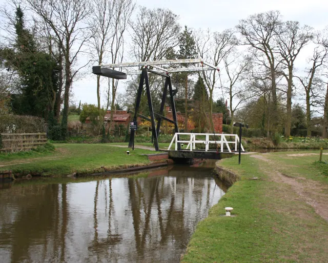
© Espresso Addict · Geograph · CC BY-SA 2.0
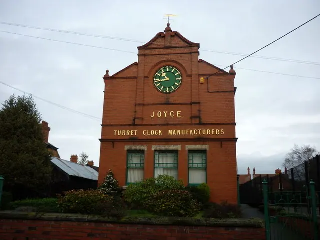
© Ian S · Geograph · CC BY-SA 2.0
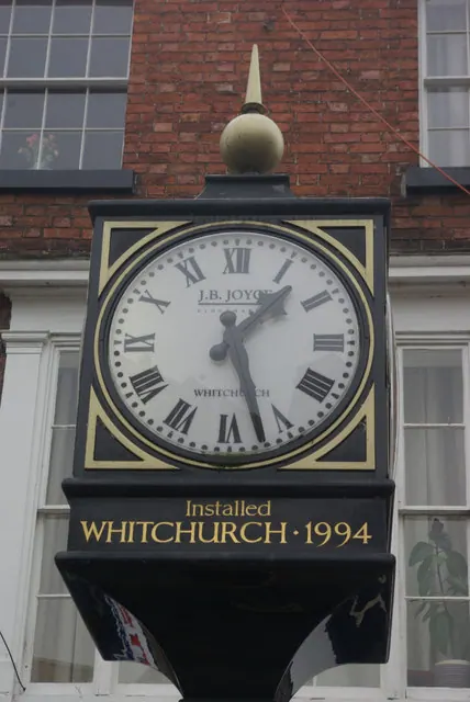
© Stephen McKay · Geograph · CC BY-SA 2.0
Images © their respective photographers, licensed under CC BY-SA 2.0 and reused here with attribution. Photographs depict listed buildings, churches and monuments near this settlement and may show neighbouring villages.
Data derived from the Open Domesday project (opendomesday.org), based on the Domesday Book dataset compiled by Professor J.J.N. Palmer and team. The Domesday Book (1086) is in the public domain.
Found an inaccuracy? [email protected]