Wheldrake in the Domesday Book (1086)
Wheldrake appears in the Domesday Book of 1086, entered under the hundred of Pocklington in Yorkshire.
Other Settlements in Pocklington
- Allerthorpe
- Barmby [Moor]
- Belthorpe
- Bielby
- Bolton
- Burnby
- Chetelstorp
- Deighton
- Elvington
- Escrick
- Everingham
- Fangfoss
- Gowthorpe
- Greenwick
The Meaning of the Name
The origin of the name Wheldrake is not securely established from its modern form alone; like many settlement names in the North it likely combines an Old English or Old Norse personal name with a landscape term.
Remarkably, the name has changed little since 1086, when the Domesday scribes wrote it as Wheldrake.
Listed Buildings Near Wheldrake
Historic England records 25 listed buildings within about a mile of Wheldrake. Listing protects structures of special architectural or historic interest, graded I (exceptional), II* (particularly important) and II.
Grade I
- Church of Saint Helen - 0.61 km
Grade II
- 70, Main Street - 0.6 km
- Sundial, Approximately 7 Metres to South West of Church of Saint Helen - 0.6 km
- The Post Office - 0.6 km
- Country Style - 0.61 km
- Church Cottage - 0.63 km
- Blythe Farm - 0.64 km
- 75, Main Street - 0.64 km
- 60 and 62, Main Street - 0.66 km
- Costcutter Stores - 0.67 km
- 63 and 65, Main Street - 0.7 km
- 52, Main Street - 0.72 km
- Half-way House - 0.73 km
- Elizabethan House and Elizabethan Cottage - 0.75 km
- 51, Main Street - 0.76 km
- Village Farm - 0.84 km
- 21, Main Street - 0.86 km
- 23, Main Street - 0.86 km
- 20, Main Street - 0.92 km
- Granary Cottage - 0.92 km
- 16, Main Street - 0.95 km
- 9, Main Street - 0.96 km
- 7, Main Street - 0.96 km
- Ingle Cottage - 0.99 km
…and 1 more listed structures in the area.
Wheldrake Today
Today Wheldrake lies within the administrative area of City of York, and the settlement recorded a population of 2,092 at the 2021 census. Nine and a half centuries separate that figure from the small rural community the Domesday survey recorded here in 1086.
Read more about modern Wheldrake on Wikipedia .
Nearby Domesday Settlements
Other places recorded in the 1086 survey within a few miles:
- East Cottingwith - 2.8 km SE
- Chetelestorp - 3.0 km E
- Thorganby - 3.0 km S
- West Cottingwith - 3.2 km S
- Elvington - 3.6 km NE
- Sutton upon Derwent - 3.6 km NE
Heritage Around Wheldrake
Photographs of churches, listed buildings and monuments in the vicinity, contributed by volunteers to the Geograph project and reused here under a Creative Commons licence.
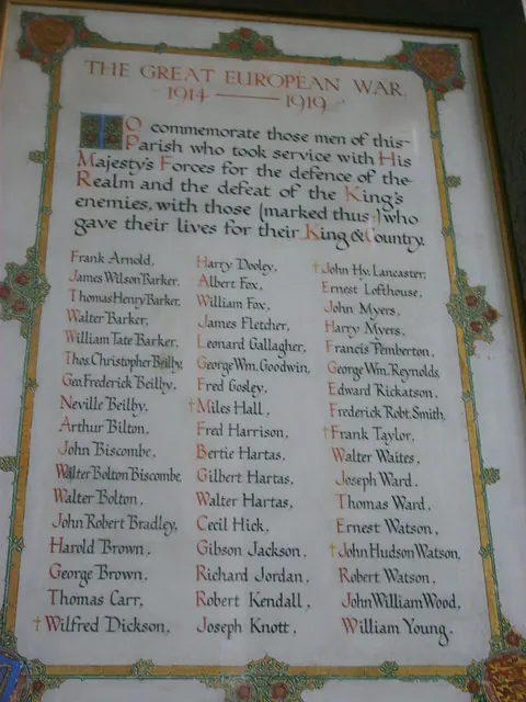
© William Metcalfe · Geograph · CC BY-SA 2.0
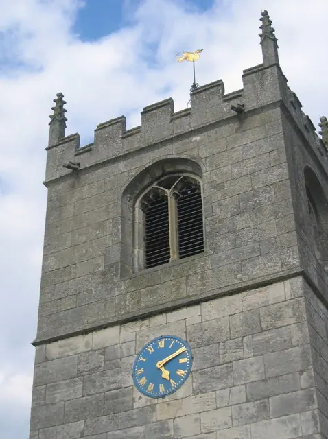
© Alan hodgson · Geograph · CC BY-SA 2.0
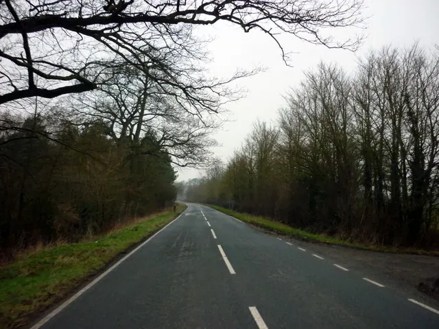
© Ian S · Geograph · CC BY-SA 2.0
Images © their respective photographers, licensed under CC BY-SA 2.0 and reused here with attribution. Photographs depict listed buildings, churches and monuments near this settlement and may show neighbouring villages.
Data derived from the Open Domesday project (opendomesday.org), based on the Domesday Book dataset compiled by Professor J.J.N. Palmer and team. The Domesday Book (1086) is in the public domain.
Found an inaccuracy? [email protected]