Wheelock in the Domesday Book (1086)
Wheelock appears in the Domesday Book of 1086, entered under the hundred of Middlewich in Cheshire. The survey assessed Wheelock at 8 carucates of taxable land.
At the time of the survey, Wheelock supported a recorded population of 54 villagers, 12 smallholders, working 33 ploughs between them.
By 1086 Wheelock was worth 14 shillings, up from 12 shillings before the Conquest – one of the few settlements in the area to hold its value through the upheaval.
Resources Recorded at Wheelock (1086)
- Mills: 3 mills (valued at 2 shillings)
- Churches: 1
- Meadow: 2 acres
- Woodland: 3 * 1 furlongs
Other Settlements in Middlewich
- Alsager
- Bostock
- Brereton
- Byley
- Clive
- Congleton
- Croxton
- Davenham
- Davenport
- Goostrey
- Hassall
- Kinderton
- Lach [Dennis]
- Leftwich
The Meaning of the Name
The origin of the name Wheelock is not securely established from its modern form alone; like many settlement names in the North it likely combines an Old English or Old Norse personal name with a landscape term.
Remarkably, the name has changed little since 1086, when the Domesday scribes wrote it as Wheelock.
Listed Buildings Near Wheelock
Historic England records 13 listed buildings within about a mile of Wheelock. Listing protects structures of special architectural or historic interest, graded I (exceptional), II* (particularly important) and II.
Grade II
- White Hall Lodge - 0.85 km
- The Commercial Hotel - 0.86 km
- White Hall - 0.87 km
- Trent and Mersey Canal House and Attached Warehouse - 0.92 km
- Trent and Mersey Canal Stable With Attached Ticket Office at Wheelock Wharf - 0.94 km
- Canal Cottage - 0.95 km
- Canal Milepost East of Wheelock Wharf - 1.05 km
- Trent and Mersey Canal Bridge Number 157 at Sj 7387 5938 - 1.15 km
- Double Bridge at Lock no 66, Trent and Mersey Canal - 1.17 km
- Lock no 66 - 1.18 km
- Trent and Mersey Canal Milepost West of Bridge no 157 at Sj 7380 5934 - 1.2 km
- Trent and Mersey Canal Lock House - 1.2 km
- Lock no 65, Trent and Mersey Canal - 1.27 km
Wheelock Today
Today Wheelock lies within the administrative area of Sandbach.
Read more about modern Wheelock on Wikipedia .
Nearby Domesday Settlements
Other places recorded in the 1086 survey within a few miles:
Heritage Around Wheelock
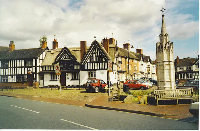
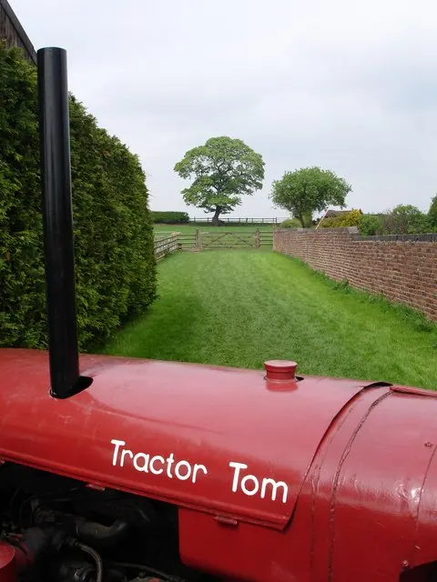
Photographs of churches, listed buildings and monuments in the vicinity, contributed by volunteers to the Geograph project and reused here under a Creative Commons licence.
© Colin Smith · Geograph · CC BY-SA 2.0
© Dominic Robinson · Geograph · CC BY-SA 2.0

© Stephen Craven · Geograph · CC BY-SA 2.0
Images © their respective photographers, licensed under CC BY-SA 2.0 and reused here with attribution. Photographs depict listed buildings, churches and monuments near this settlement and may show neighbouring villages.
Data derived from the Open Domesday project (opendomesday.org), based on the Domesday Book dataset compiled by Professor J.J.N. Palmer and team. The Domesday Book (1086) is in the public domain.
Found an inaccuracy? [email protected]