Wetherby in the Domesday Book (1086)
The settlement of Wetherby is recorded in William I’s Domesday survey of 1086, entered under the hundred of Burghshire in Yorkshire. The survey assessed Wetherby at 4 carucates of taxable land.
At the time of the survey, Wetherby supported a recorded population of 1 villager, 2 slaves, working 2 ploughs between them.
The survey records Wetherby’s value at 3.5 shillings in 1086. No pre-Conquest figure survives – not unusual in the North, where records were disrupted by the Harrying and by the patchy coverage of the survey.
Resources Recorded at Wetherby (1086)
- Meadow: 3 acres
Other Settlements in Burghshire
- Addlethorpe
- Aismunderby
- Aldfield
- Allerton [Mauleverer]
- Arkendale
- Askwith
- Azerley
- Barrowby [Grange]
- Beckwith [House]
- Besthaim
- Bestham
- Bewerley
- Bilton
- Birstwith
The Meaning of the Name
The name Wetherby is of Scandinavian origin. Its final element derives from the Old Norse word bý, a farmstead or village. The first element is most likely a personal name or an early descriptive term, now difficult to recover with certainty. Taken together the name probably meant something close to ‘a farmstead’.
Names of this type are a fingerprint of Scandinavian settlement: they cluster across the old Danelaw, where Norse-speaking settlers renamed or founded villages from the late 9th century onward.
Remarkably, the name has changed little since 1086, when the Domesday scribes wrote it as Wetherby.
Listed Buildings Near Wetherby
Historic England records 32 listed buildings within about a mile of Wetherby. Listing protects structures of special architectural or historic interest, graded I (exceptional), II* (particularly important) and II.
Grade II
- 66, North Street - 0.07 km
- Swan and Talbot - 0.2 km
- The Manor House - 0.23 km
- Church of St James - 0.23 km
- Railway Engine Shed Approximately 200 Metres North East of Junction With Deighton Road - 0.27 km
- The Angel - 0.31 km
- Wetherby Wesleyan Methodist Church - 0.32 km
- 41, 43, 43A AND 45, HIGH STREET (See details for further address information) - 0.33 km
- Brunswick Yard (Premises of Wetherby Workshops and C and S Racing) - 0.34 km
- Wetherby Town Hall and Attached Front Wall - 0.36 km
- The Brunswick - 0.36 km
- 4, Cross Street - 0.37 km
- 6, Cross Street - 0.37 km
- 27 AND 29, HIGH STREET (See details for further address information) - 0.37 km
- The Shambles - 0.37 km
- The Old Vicarage - 0.39 km
- Stone Dene - 0.4 km
- 19 and 21, Market Place - 0.41 km
- 9 Market Place - 0.42 km
- 6 and 8, Scott Lane - 0.44 km
- Wetherby House - 0.44 km
- 21-25, Westgate - 0.44 km
- Bath House to South West of Wharfedale Lawn - 0.47 km
- Milepost Approximately 120 Metres to North East of Junction With Audby Lane - 0.52 km
…and 8 more listed structures in the area.
Scheduled Monuments Near Wetherby
Scheduled monuments are nationally important archaeological sites given legal protection. 2 lie within roughly a mile of Wetherby:
- Wetherby Bridge - 0.51 km
- Core part of Wetherby Castle, 240m north west of Wetherby Bridge - 0.54 km
Wetherby Today
Today Wetherby lies within the administrative area of Leeds, and the settlement recorded a population of 11,710 at the 2021 census. Nine and a half centuries separate that figure from the small rural community the Domesday survey recorded here in 1086.
Read more about modern Wetherby on Wikipedia .
Nearby Domesday Settlements
Other places recorded in the 1086 survey within a few miles:
- Linton - 2.2 km SW
- Ingmanthorpe Hall - 2.8 km NE
- Kirk and North Deighton - 3.2 km N
- Thorp Arch - 3.6 km SE
- Sicklinghall - 4.0 km W
- Walton - 4.1 km E
Heritage Around Wetherby
Photographs of churches, listed buildings and monuments in the vicinity, contributed by volunteers to the Geograph project and reused here under a Creative Commons licence.
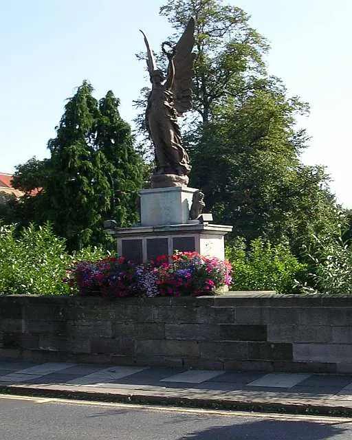
© Betty Longbottom · Geograph · CC BY-SA 2.0
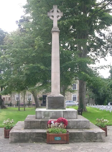
© Betty Longbottom · Geograph · CC BY-SA 2.0
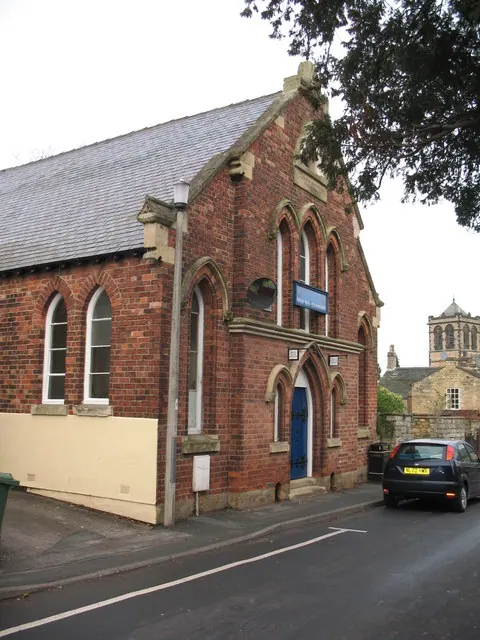
© Gordon Hatton · Geograph · CC BY-SA 2.0
Images © their respective photographers, licensed under CC BY-SA 2.0 and reused here with attribution. Photographs depict listed buildings, churches and monuments near this settlement and may show neighbouring villages.
Data derived from the Open Domesday project (opendomesday.org), based on the Domesday Book dataset compiled by Professor J.J.N. Palmer and team. The Domesday Book (1086) is in the public domain.
Found an inaccuracy? [email protected]