Westby in the Domesday Book (1086)
Westby appears in the Domesday Book of 1086, entered under the hundred of Amounderness in Yorkshire.
At the time of the survey, Westby supported a recorded population of 2 villagers, 2 smallholders, working 1 plough between them.
By 1086 Westby was worth 12d, up from 0d before the Conquest – one of the few settlements in the area to hold its value through the upheaval.
Resources Recorded at Westby (1086)
- Woodland: 1 * 0.5 leagues
Other Settlements in Amounderness
- Aighton
- Aldcliffe
- Aldingham
- Arkholme
- Aschebi
- Ashton [Hall]
- Ashton [on Ribble]
- Austwick
- Barbon
- Bardsea
- Bare
- Barnoldswick
- Barton
- Beetham
The Meaning of the Name
The name Westby is of Scandinavian origin. Its final element derives from the Old Norse word bý, a farmstead or village, while the first element appears to represent the western. Taken together the name probably meant something close to ’the western farmstead’.
Names of this type are a fingerprint of Scandinavian settlement: they cluster across the old Danelaw, where Norse-speaking settlers renamed or founded villages from the late 9th century onward.
Remarkably, the name has changed little since 1086, when the Domesday scribes wrote it as Westby.
Listed Buildings Near Westby
Historic England records 5 listed buildings within about a mile of Westby. Listing protects structures of special architectural or historic interest, graded I (exceptional), II* (particularly important) and II.
Grade II
- Garage Circa 20 Metres West of Westby House - 0.41 km
- Willow Cottage - 0.72 km
- Fox Lane Ends Cross - 1.0 km
- Church of St Nicholas - 1.18 km
- Church Grove House - 1.2 km
Westby Today
Today Westby lies within the administrative area of Westby-with-Plumptons.
Nearby Domesday Settlements
Other places recorded in the 1086 survey within a few miles:
Heritage Around Westby
Photographs of churches, listed buildings and monuments in the vicinity, contributed by volunteers to the Geograph project and reused here under a Creative Commons licence.
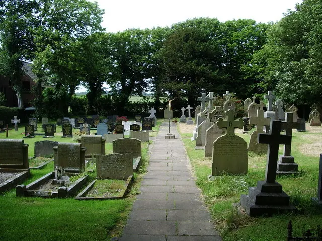
© Alexander P Kapp · Geograph · CC BY-SA 2.0
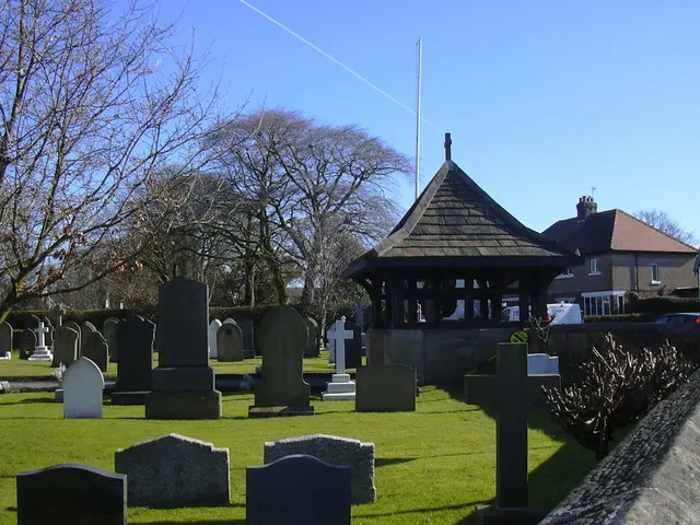
© Robert Wade · Geograph · CC BY-SA 2.0
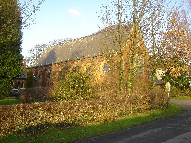
© Paul Twambley · Geograph · CC BY-SA 2.0
Images © their respective photographers, licensed under CC BY-SA 2.0 and reused here with attribution. Photographs depict listed buildings, churches and monuments near this settlement and may show neighbouring villages.
Data derived from the Open Domesday project (opendomesday.org), based on the Domesday Book dataset compiled by Professor J.J.N. Palmer and team. The Domesday Book (1086) is in the public domain.
Found an inaccuracy? [email protected]