West Derby in the Domesday Book (1086)
The 1086 Domesday survey records the settlement of West Derby, entered under the hundred of [West] Derby in Cheshire.
Other Settlements in [West] Derby
- Ainsdale
- Allerton
- Argarmeles
- Aughton
- Barton
- Bootle
- Childwall
- Dalton
- Downholland
- Formby
- Halsall
- Hurlston
- Huyton
- Ince [Blundell]
The Meaning of the Name
The name West Derby is of Scandinavian origin. Its final element derives from the Old Norse word bý, a farmstead or village. The first element is most likely a personal name or an early descriptive term, now difficult to recover with certainty. Taken together the name probably meant something close to ‘a farmstead’.
Names of this type are a fingerprint of Scandinavian settlement: they cluster across the old Danelaw, where Norse-speaking settlers renamed or founded villages from the late 9th century onward.
Remarkably, the name has changed little since 1086, when the Domesday scribes wrote it as West Derby.
Listed Buildings Near West Derby
Historic England records 34 listed buildings within about a mile of West Derby. Listing protects structures of special architectural or historic interest, graded I (exceptional), II* (particularly important) and II.
Grade II*
- Church of St Christopher - 0.97 km
- Church of St Mary - 1.13 km
- Monument in West Derby Village - 1.19 km
- The Old Court House - 1.21 km
Grade II
- Stable Block in Norris Green Park - 0.81 km
- Aintree Lodge to Croxteth Hall - 0.85 km
- Lodge to West Derby Cemetery - 0.9 km
- Entrance to West Derby Cemetery - 0.91 km
- Northfield and Office to West Derby Cemetery - 0.93 km
- 97-103, Almonds Green - 0.96 km
- Bridge Over Path to Croxteth Hall - 1.05 km
- Margaret Beavan Special School - 1.06 km
- Boundary Wall, Gate Piers and Letter Box at Margaret Beavan Special School - 1.07 km
- West Derby Church of England Primary School - 1.12 km
- Entrance Lodge at Margaret Beavan Special School - 1.13 km
- The Hunting Lodge - 1.17 km
- 10, West Derby Village - 1.17 km
- Village pound and stocks - 1.17 km
- 11 - 13 West Derby Village - 1.18 km
- 2 to 6 West Derby Village - 1.19 km
- Lodge to Croxteth Hall with railings and gateway to the northwest of the lodge - 1.2 km
- Lowlands (West Derby Community Association) and attached boundary walls and gate piers - 1.2 km
- Street lamp and fountain in front of Croxteth Park entrance - 1.21 km
- Hare and Hounds - 1.21 km
…and 10 more listed structures in the area.
Scheduled Monuments Near West Derby
Scheduled monuments are nationally important archaeological sites given legal protection. 1 lies within roughly a mile of West Derby:
- West Derby motte and bailey castle - 1.01 km
West Derby Today
Today West Derby lies within the administrative area of Liverpool, and the settlement recorded a population of 14,382 at recent figures. Nine and a half centuries separate that figure from the small rural community the Domesday survey recorded here in 1086.
Read more about modern West Derby on Wikipedia .
Nearby Domesday Settlements
Other places recorded in the 1086 survey within a few miles:
Heritage Around [West] Derby
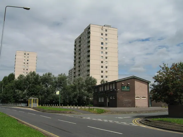
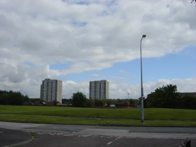
Photographs of churches, listed buildings and monuments in the vicinity, contributed by volunteers to the Geograph project and reused here under a Creative Commons licence.
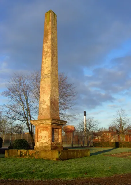
© Paul Harrop · Geograph · CC BY-SA 2.0
© Sue Adair · Geograph · CC BY-SA 2.0
© Sue Adair · Geograph · CC BY-SA 2.0
Images © their respective photographers, licensed under CC BY-SA 2.0 and reused here with attribution. Photographs depict listed buildings, churches and monuments near this settlement and may show neighbouring villages.
Data derived from the Open Domesday project (opendomesday.org), based on the Domesday Book dataset compiled by Professor J.J.N. Palmer and team. The Domesday Book (1086) is in the public domain.
Found an inaccuracy? [email protected]