West Carlton in the Domesday Book (1086)
West Carlton is named in the Domesday Book, compiled by Norman commissioners in 1086, entered under the hundred of Holderness [Middle Hundred] in Yorkshire. The survey assessed West Carlton at 15 carucates of taxable land.
At the time of the survey, West Carlton supported a recorded population of 10 villagers, 8 smallholders, working 7 ploughs between them.
Something went badly wrong here between the two surveys. Before 1066, West Carlton was worth 15 shillings; by 1086 that had dropped to 10 shillings – a fall of 33%. Most Yorkshire villages that lost value on this scale were swept up in the Harrying of the North – William’s scorched-earth campaign of 1069–70.
Resources Recorded at West Carlton (1086)
- Mills: 2 mills (valued at 8d)
- Woodland: 1000 pigs
Other Settlements in Holderness [Middle Hundred]
- Aldbrough
- Benningholme [Hall]
- Bewick [Hall]
- Bilton
- Burton [Constable]
- Burton [Pidsea]
- Conis[ton]
- Danthorpe
- Dowthorpe [Hall]
- Drypool
- Ellerby
- Elstronwick
- Eske
- Etherdwick
The Meaning of the Name
The name West Carlton is of Anglo-Saxon origin. Its final element derives from the Old English word tūn, a farmstead or village. The first element is most likely a personal name or an early descriptive term, now difficult to recover with certainty. Taken together the name probably meant something close to ‘a farmstead’.
Remarkably, the name has changed little since 1086, when the Domesday scribes wrote it as West Carlton.
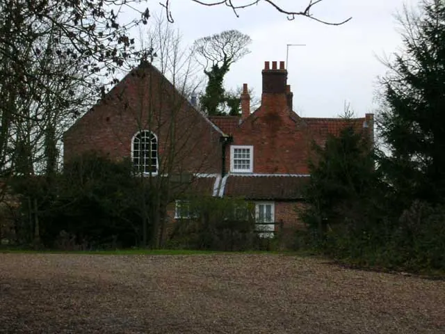
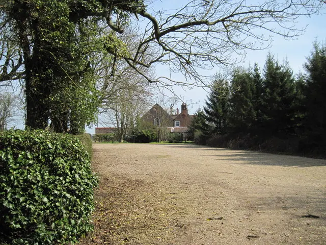
Listed Buildings Near West Carlton
Historic England records 1 listed building within about a mile of West Carlton. Listing protects structures of special architectural or historic interest, graded I (exceptional), II* (particularly important) and II.
Grade II
- Low Fosham Farmhouse and Flanking Wings - 0.76 km
Nearby Domesday Settlements
Other places recorded in the 1086 survey within a few miles:
- Fosham - 1.0 km W
- Tansterne - 1.4 km SE
- Bewick Hall - 2.2 km NE
- West Newton - 2.2 km SW
- Etherdwick - 2.2 km SE
- Flinton - 2.2 km SE
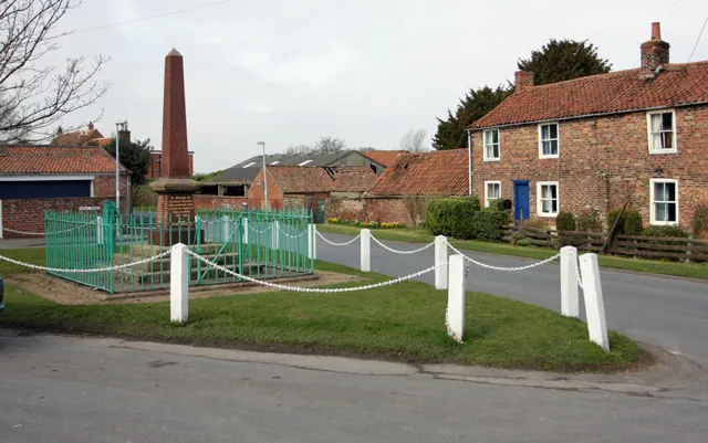
Heritage Around [West] Carlton
Photographs of churches, listed buildings and monuments in the vicinity, contributed by volunteers to the Geograph project and reused here under a Creative Commons licence.
© Peter Church · Geograph · CC BY-SA 2.0
© Lynne Glazzard · Geograph · CC BY-SA 2.0
© Martin Dawes · Geograph · CC BY-SA 2.0
Images © their respective photographers, licensed under CC BY-SA 2.0 and reused here with attribution. Photographs depict listed buildings, churches and monuments near this settlement and may show neighbouring villages.
Location
53.8283°N, -0.1538°W · Holderness [Middle Hundred] hundred, Yorkshire
View larger map on OpenStreetMap →Data derived from the Open Domesday project (opendomesday.org), based on the Domesday Book dataset compiled by Professor J.J.N. Palmer and team. The Domesday Book (1086) is in the public domain.
Found an inaccuracy? [email protected]