West Bretton in the Domesday Book (1086)
The settlement of West Bretton is recorded in William I’s Domesday survey of 1086, entered under the hundred of Agbrigg in Yorkshire. The survey assessed West Bretton at 3.2 carucates of taxable land.
At the time of the survey, West Bretton supported a recorded population of 7 villagers, working 4 ploughs between them.
By 1086 West Bretton was worth 4 shillings, up from 2 shillings before the Conquest – a sign this community came through the Conquest without being ruined.
Resources Recorded at West Bretton (1086)
- Churches: 1
- Meadow: 12 acres
- Woodland: 2 * 2 leagues
Other Settlements in Agbrigg
- Ackton
- Almondbury
- Austonley
- Bradley
- Cartworth
- Crigglestone
- Crofton
- Dalton
- Emley
- Farnley [Tyas]
- Flockton
- Fulstone
- Golcar
- Hepworth
The Meaning of the Name
The name West Bretton is of Anglo-Saxon origin. Its final element derives from the Old English word tūn, a farmstead or village. The first element is most likely a personal name or an early descriptive term, now difficult to recover with certainty. Taken together the name probably meant something close to ‘a farmstead’.
Remarkably, the name has changed little since 1086, when the Domesday scribes wrote it as West Bretton.
Listed Buildings Near West Bretton
Historic England records 37 listed buildings within about a mile of West Bretton. Listing protects structures of special architectural or historic interest, graded I (exceptional), II* (particularly important) and II.
Grade II*
- Archway Lodge in Bretton Park Including Flanking Walls - 0.48 km
- Stable Range in Bretton Park approximately 50 metres north of Bretton Hall - 0.63 km
- Bretton Church - 0.67 km
Grade II
- Town Well Approximately 25 Metres East of Eastern Range of Farm Buildings at Home Farm and Approximately 25 Metres North of Road - 0.03 km
- Water Pump Niche in Wall Immediately West of Garden Wall to no 26 - 0.04 km
- Dairy Attached to Rear of Home Farmhouse - 0.1 km
- Bretton Lodge - 0.15 km
- 25,27,29, Huddersfield Road - 0.18 km
- 24,26, Huddersfield Road - 0.2 km
- Walls, Gateways and Railings Along Front of Estate House - 0.21 km
- Barn Approximately 30 Metres North West of Estate House - 0.21 km
- Estate House - 0.23 km
- No 32 and Attached Workshop Range - 0.23 km
- Gardeners Cottage Including Attached Garden Walls, Sheds and Cart Sheds - 0.27 km
- The North Lodge at Bretton Park - 0.37 km
- Sculpture, Virginius and His Daughter, at East End of Terrace in Bretton Park, Approximately 300 Metres North of Bretton Hall - 0.37 km
- Terrace in Bretton Park Approximately 300 Metres North of Bretton Hall - 0.38 km
- The School House (West Bretton Primary School) - 0.4 km
- Maltkiln Farmhouse - 0.49 km
- 84-96 Huddersfield Road - 0.5 km
- Stable Range Immediately East of Maltkiln Farmhouse - 0.51 km
- Principal Barn and Attached Farm Building to West Approximately 10 Metres North of Maltkiln Farmhouse - 0.52 km
- Milepost Approximately 600 Metres South of Junction With Park Road - 0.61 km
- Churchyard Wall With Gateways and Gates to West, South and East of Church in Bretton Park - 0.7 km
…and 13 more listed structures in the area.
West Bretton Today
Today West Bretton lies within the administrative area of Wakefield, and the settlement recorded a population of 463 at the 2021 census. Nine and a half centuries separate that figure from the small rural community the Domesday survey recorded here in 1086.
Read more about modern West Bretton on Wikipedia .
Nearby Domesday Settlements
Other places recorded in the 1086 survey within a few miles:
- Sactun - 3.0 km E
- Santone - 3.0 km E
- Woolley - 3.0 km E
- High Hoyland - 3.2 km S
- Clayton West - 3.6 km SW
- Emley - 4.0 km W
Heritage Around [West] Bretton
Photographs of churches, listed buildings and monuments in the vicinity, contributed by volunteers to the Geograph project and reused here under a Creative Commons licence.
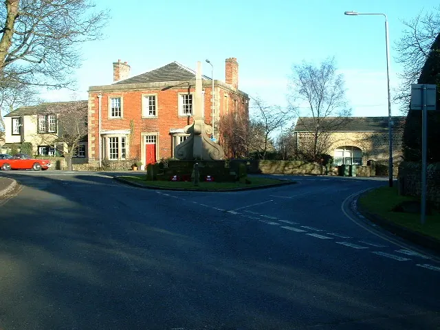
© Nigel Homer · Geograph · CC BY-SA 2.0
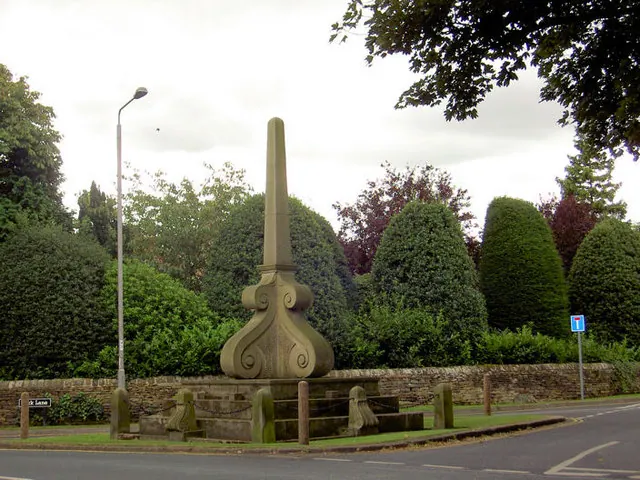
© Steve Fareham · Geograph · CC BY-SA 2.0
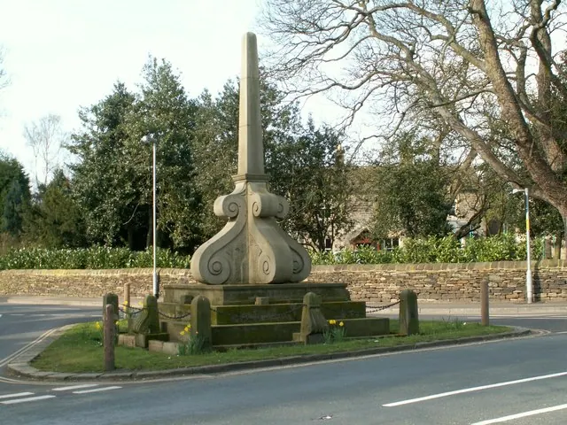
© John Fielding · Geograph · CC BY-SA 2.0
Images © their respective photographers, licensed under CC BY-SA 2.0 and reused here with attribution. Photographs depict listed buildings, churches and monuments near this settlement and may show neighbouring villages.
Data derived from the Open Domesday project (opendomesday.org), based on the Domesday Book dataset compiled by Professor J.J.N. Palmer and team. The Domesday Book (1086) is in the public domain.
Found an inaccuracy? [email protected]