West Ayton in the Domesday Book (1086)
The settlement of West Ayton is recorded in William I’s Domesday survey of 1086, entered under the hundred of Dic in Yorkshire. The survey assessed West Ayton at 7.1 carucates of taxable land.
At the time of the survey, West Ayton supported a recorded population of 1 villager, 3 smallholders, 2 slaves, working 5 ploughs between them.
The survey records West Ayton’s value at 6 shillings in 1086. No pre-Conquest figure survives – not unusual in the North, where records were disrupted by the Harrying and by the patchy coverage of the survey.
The survey lists 2 manors at West Ayton under different lords. Splitting a single settlement between multiple tenants was common across the North – Saxon estates broken up and handed to William’s followers after 1066.
Resources Recorded at West Ayton (1086)
- Mills: 1 mill (valued at 2d)
- Meadow: 2 acres
- Woodland: 3 acres
Other Settlements in Dic
- Aislaby
- Allerston
- Appleton [le Moors]
- Aschelesmersc
- Aschilesmares
- Barton [le Street]
- Baschebi
- Baschesbi
- Brompton
- Burniston
- Burton [Dale]
- Cawthorn
- Cayton
- Chigogemers
The Meaning of the Name
The name West Ayton is of Anglo-Saxon origin. Its final element derives from the Old English word tūn, a farmstead or village. The first element is most likely a personal name or an early descriptive term, now difficult to recover with certainty. Taken together the name probably meant something close to ‘a farmstead’.
Remarkably, the name has changed little since 1086, when the Domesday scribes wrote it as West Ayton.
Listed Buildings Near West Ayton
Historic England records 28 listed buildings within about a mile of West Ayton. Listing protects structures of special architectural or historic interest, graded I (exceptional), II* (particularly important) and II.
Grade I
- Ayton Castle - 0.63 km
Grade II*
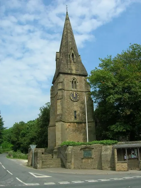
- Church of Saint John the Baptist - 0.7 km
Grade II
- Burton House - 0.16 km
- Derwent House - 0.19 km
- Low Hall - 0.21 km
- Candler House - 0.22 km
- The Elms - 0.31 km
- High Hall - 0.33 km
- Ayton Bridge - 0.36 km
- Yedmandale Terrace - 0.44 km
- High Mill - 0.45 km
- Ebenezer Methodist Chapel - 0.51 km
- 8 and 10, Castlegate - 0.56 km
- 12, Castlegate - 0.58 km
- Old Weaver’s Cottage - 0.61 km
- Village Pound - 0.63 km
- Church Farmhouse - 0.65 km
- 43, Main Street - 0.68 km
- 34, Castlegate - 0.72 km
- Mount Pleasant Farmhouse - 0.79 km
- Pasture Cottage - 1.05 km
- Bay Nigg - 1.12 km
- The Kennels - 1.14 km
- The Forge and Attached Outbuildings - 1.24 km
…and 4 more listed structures in the area.
Scheduled Monuments Near West Ayton
Scheduled monuments are nationally important archaeological sites given legal protection. 1 lies within roughly a mile of West Ayton:
West Ayton Today
Today West Ayton lies within the administrative area of Scarborough, and the settlement recorded a population of 1,027 at the 2021 census. Nine and a half centuries separate that figure from the small rural community the Domesday survey recorded here in 1086.
Read more about modern West Ayton on Wikipedia .
Nearby Domesday Settlements
Other places recorded in the 1086 survey within a few miles:
- Newton - 0.0 km N
- East Ayton - 1.0 km E
- Hutton Buscel - 1.0 km W
- Preston Hill - 1.0 km W
- Martin Garth - 2.0 km W
- Wykeham - 2.2 km SW
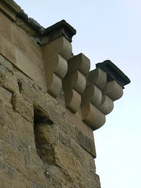
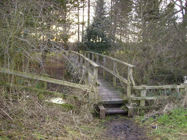
Heritage Around [West] Ayton
Photographs of churches, listed buildings and monuments in the vicinity, contributed by volunteers to the Geograph project and reused here under a Creative Commons licence.
© JThomas · Geograph · CC BY-SA 2.0
© bernard bradley · Geograph · CC BY-SA 2.0
© Phil Catterall · Geograph · CC BY-SA 2.0
Images © their respective photographers, licensed under CC BY-SA 2.0 and reused here with attribution. Photographs depict listed buildings, churches and monuments near this settlement and may show neighbouring villages.
Data derived from the Open Domesday project (opendomesday.org), based on the Domesday Book dataset compiled by Professor J.J.N. Palmer and team. The Domesday Book (1086) is in the public domain.
Found an inaccuracy? [email protected]