West Ardsley in the Domesday Book (1086)
The 1086 Domesday survey records the settlement of West Ardsley, entered under the hundred of Morley in Yorkshire.
Other Settlements in Morley
- Allerton
- Armley
- Batley
- Beeston
- Bolton
- Bowling
- Bradford
- Bramley
- Calverley
- Carlton
- Chellow [Grange]
- Clayton
- Clifton
- Cruttonstall
The Meaning of the Name
The name West Ardsley is of Anglo-Saxon origin. Its final element derives from the Old English word lēah, a woodland clearing or glade. The first element is most likely a personal name or an early descriptive term, now difficult to recover with certainty. Taken together the name probably meant something close to ‘a clearing’.
Remarkably, the name has changed little since 1086, when the Domesday scribes wrote it as West Ardsley.
Listed Buildings Near West Ardsley
Historic England records 6 listed buildings within about a mile of West Ardsley. Listing protects structures of special architectural or historic interest, graded I (exceptional), II* (particularly important) and II.
Grade II
- Black Gates House - 0.7 km
- Boyle Hall (Flats 1-5) - 0.75 km
- 25 and 27, Baghill Road - 1.08 km
- Former barn at 183b Haigh Moor Road - 1.17 km
- Ardsley Mill and attached engine house and chimney - 1.19 km
- Manor Farm Barn - 1.2 km
Nearby Domesday Settlements
Other places recorded in the 1086 survey within a few miles:
- East Ardsley - 2.0 km E
- Thorpe on the Hill - 3.2 km E
- Hanging Heaton - 3.6 km SW
- Middleton - 3.6 km NE
- Morley - 3.6 km NW
- Batley - 4.1 km W
Heritage Around [West] Ardsley
Photographs of churches, listed buildings and monuments in the vicinity, contributed by volunteers to the Geograph project and reused here under a Creative Commons licence.
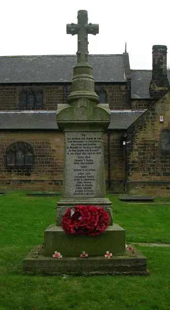
© Betty Longbottom · Geograph · CC BY-SA 2.0
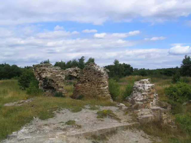
© Mick Melvin · Geograph · CC BY-SA 2.0

© Steve Partridge · Geograph · CC BY-SA 2.0
Images © their respective photographers, licensed under CC BY-SA 2.0 and reused here with attribution. Photographs depict listed buildings, churches and monuments near this settlement and may show neighbouring villages.
Data derived from the Open Domesday project (opendomesday.org), based on the Domesday Book dataset compiled by Professor J.J.N. Palmer and team. The Domesday Book (1086) is in the public domain.
Found an inaccuracy? [email protected]