Werneth in the Domesday Book (1086)
Werneth is named in the Domesday Book, compiled by Norman commissioners in 1086, entered under the hundred of Hamestan in Cheshire. The survey assessed Werneth at 2 carucates of taxable land.
At the time of the survey, Werneth supported a recorded population of 1 villager, 5 smallholders, 4 slaves, working 2 ploughs between them.
By 1086 Werneth was worth 1 shilling, up from 15d before the Conquest – in contrast to many Yorkshire neighbours whose valuations collapsed.
Other Settlements in Hamestan
- Adlington
- Bosley
- Bramhall
- Bredbury
- Butley
- Capesthorne
- Cheadle
- Chelford
- Cranage
- Gawsworth
- Henbury
- Hollingworth
- Hungrewenitune
- Kermincham
The Meaning of the Name
The origin of the name Werneth is not securely established from its modern form alone; like many settlement names in the North it likely combines an Old English or Old Norse personal name with a landscape term.
Remarkably, the name has changed little since 1086, when the Domesday scribes wrote it as Werneth.
Listed Buildings Near Werneth
Historic England records 8 listed buildings within about a mile of Werneth. Listing protects structures of special architectural or historic interest, graded I (exceptional), II* (particularly important) and II.
Grade II
- Werneth Old Hall Barn - 0.32 km
- Barn Immediately to South West of Springwood Poultry Farmhouse - 0.76 km
- Hat Maker’s Workshop in Grounds of Number 54 - 0.76 km
- Stocks in Graveyard of Hyde Chapel - 0.94 km
- Hyde Chapel - 0.99 km
- Holy Trinity Church - 1.15 km
- Pole Bank Hall - 1.23 km
- Boundary Stone - 1.24 km
Werneth Today
Today Werneth lies within the administrative area of Tameside.
Read more about modern Backbower on Wikipedia .
Nearby Domesday Settlements
Other places recorded in the 1086 survey within a few miles:
- Ludworth - 2.8 km SE
- Romiley - 2.8 km SW
- Bredbury - 3.0 km W
- Chisworth and Higher Chisworth - 4.1 km E
- Charlesworth - 5.0 km E
- Leighton - 5.0 km S
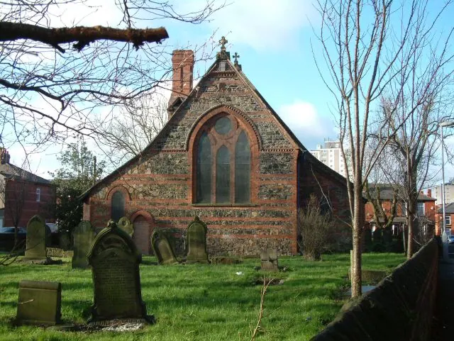
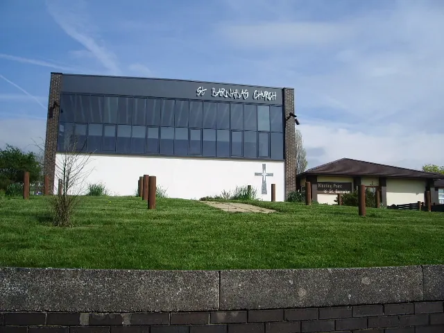
Heritage Around Werneth
Photographs of churches, listed buildings and monuments in the vicinity, contributed by volunteers to the Geograph project and reused here under a Creative Commons licence.

© Gerald England · Geograph · CC BY-SA 2.0
© Gerald England · Geograph · CC BY-SA 2.0
© Alexander P Kapp · Geograph · CC BY-SA 2.0
Images © their respective photographers, licensed under CC BY-SA 2.0 and reused here with attribution. Photographs depict listed buildings, churches and monuments near this settlement and may show neighbouring villages.
Data derived from the Open Domesday project (opendomesday.org), based on the Domesday Book dataset compiled by Professor J.J.N. Palmer and team. The Domesday Book (1086) is in the public domain.
Found an inaccuracy? [email protected]