Wentworth in the Domesday Book (1086)
The settlement of Wentworth is recorded in William I’s Domesday survey of 1086, entered under the hundred of Strafforth in Yorkshire.
Other Settlements in Strafforth
- Adwick [le Street]
- Adwick [upon Dearne]
- Armthorpe
- Aston
- Attercliffe
- Auckley
- Aughton [Hall]
- Austerfield
- Balby
- Barnbrough
- Barnby [Dun]
- Bentley
- Bilham [House]
- Billingley
The Meaning of the Name
The name Wentworth is of Anglo-Saxon origin. Its final element derives from the Old English word worð, an enclosure or homestead. The first element is most likely a personal name or an early descriptive term, now difficult to recover with certainty. Taken together the name probably meant something close to ‘a enclosure’.
Remarkably, the name has changed little since 1086, when the Domesday scribes wrote it as Wentworth.
Listed Buildings Near Wentworth
Historic England records 62 listed buildings within about a mile of Wentworth. Listing protects structures of special architectural or historic interest, graded I (exceptional), II* (particularly important) and II.
Grade II*
- Holy Trinity Wentworth (Old) Church - 0.29 km
- Church of the Holy Trinity - 0.39 km
Grade II
- Manor Farmhouse - 0.18 km
- 60 and 62, Main Street - 0.21 km
- 117 and 119, Barrowfield Lane - 0.21 km
- 107-113, Main Street - 0.23 km
- The George and Dragon and Number 83 (Court Cottage) - 0.26 km
- Burial Enclosure Approximately 10 Metres to North East of Wentworth Old Church - 0.27 km
- K6 Telephone Kiosk Opposite Clayfields Lane - 0.28 km
- 31, Main Street - 0.31 km
- 29, Main Street - 0.32 km
- West Hall and Attached Dwellings Forming Part of West Hall Fold - 0.32 km
- Laburnum Cottage - 0.34 km
- Churchyard Railings, Plinth Wall and Gates to Church of the Holy Trinity - 0.35 km
- Wentworth School - 0.37 km
- Railings Gate Piers and Gate to Front of Number 9 (Mechanics Institute) - 0.4 km
- Mechanics Institute Number 9 With Attached Meeting Hall - 0.41 km
- Wentworth Hospital With Attached Front Railings Comprising School House, School Room, Attached Almshouses to Rear, Railings to Roadside - 0.56 km
- Wentworth War Memorial - 0.62 km
- 47, Clayfield Road - 0.66 km
- Workshop on South Side of Masons’ Yard - 0.7 km
- Farmbuilding Forming South West Side of Farmyard at Home Farm - 0.71 km
- Kennels House and Attached Range of Buildings Known As the Kennels - 0.72 km
- Barn at Home Farm - 0.74 km
…and 38 more listed structures in the area.
Scheduled Monuments Near Wentworth
Scheduled monuments are nationally important archaeological sites given legal protection. 2 lie within roughly a mile of Wentworth:
- The former Elsecar Ironworks - 1.33 km
- The former Elsecar New Colliery, including the Elsecar Newcomen Engine - 1.48 km
Wentworth Today
Today Wentworth lies within the administrative area of Rotherham, and the settlement recorded a population of 1,386 at the 2021 census. Nine and a half centuries separate that figure from the small rural community the Domesday survey recorded here in 1086.
Read more about modern Wentworth on Wikipedia .
Nearby Domesday Settlements
Other places recorded in the 1086 survey within a few miles:
- Thorpe Hesley - 2.2 km SW
- Hoyland Nether - 2.8 km NW
- Tankersley - 4.1 km W
- Brampton Bierlow - 4.2 km NE
- Eldeberge - 4.2 km NE
- Greasbrough - 4.2 km SE
Heritage Around Wentworth
Photographs of churches, listed buildings and monuments in the vicinity, contributed by volunteers to the Geograph project and reused here under a Creative Commons licence.
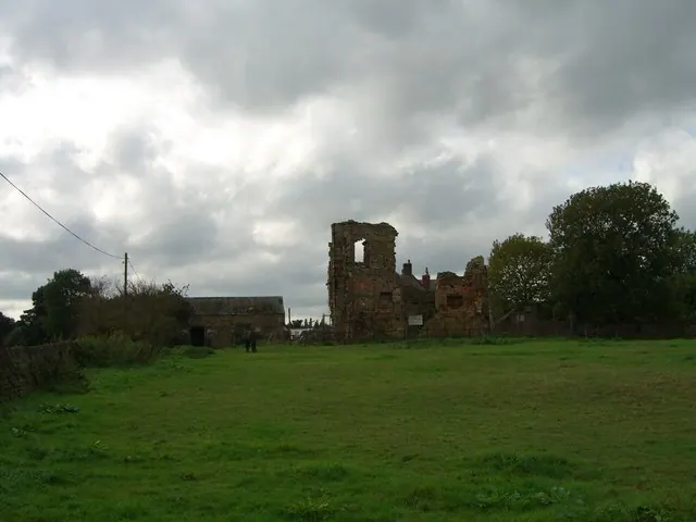
© Richard Whitham · Geograph · CC BY-SA 2.0
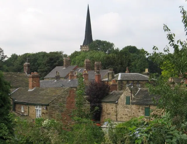
© Dave Bevis · Geograph · CC BY-SA 2.0
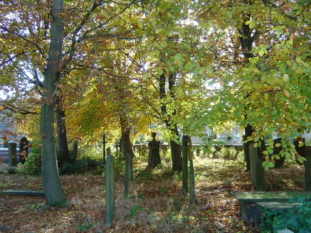
© John Charlton · Geograph · CC BY-SA 2.0
Images © their respective photographers, licensed under CC BY-SA 2.0 and reused here with attribution. Photographs depict listed buildings, churches and monuments near this settlement and may show neighbouring villages.
Data derived from the Open Domesday project (opendomesday.org), based on the Domesday Book dataset compiled by Professor J.J.N. Palmer and team. The Domesday Book (1086) is in the public domain.
Found an inaccuracy? [email protected]