Welwick in the Domesday Book (1086)
The 1086 Domesday survey records the settlement of Welwick, entered under the hundred of Holderness [South Hundred] in Yorkshire.
Other Settlements in Holderness [South Hundred]
- Andrebi
- Burstwick
- Camerton [Hall]
- Dimlington
- Easington
- Grimston
- Halsham
- Hilston
- Hollym
- Holmpton
- Keyingham
- Kilnsea
- Monkwith
- Newton [Garth]
The Meaning of the Name
The name Welwick is of Anglo-Saxon origin. Its final element derives from the Old English word wīc, a dwelling, dairy farm or trading settlement, while the first element appears to represent a spring. Taken together the name probably meant something close to ’the a spring specialised farm’.
Remarkably, the name has changed little since 1086, when the Domesday scribes wrote it as Welwick.
Listed Buildings Near Welwick
Historic England records 1 listed building within about a mile of Welwick. Listing protects structures of special architectural or historic interest, graded I (exceptional), II* (particularly important) and II.
Grade I
- Church of St Mary - 0.58 km
Welwick Today
Today Welwick lies within the administrative area of East Riding of Yorkshire, and the settlement recorded a population of 291 at the 2021 census. Nine and a half centuries separate that figure from the small rural community the Domesday survey recorded here in 1086.
Read more about modern Welwick on Wikipedia .
Nearby Domesday Settlements
Other places recorded in the 1086 survey within a few miles:
- Weeton - 1.4 km SE
- Thorpe Hill - 2.0 km W
- Rysome Garth - 2.2 km NE
- Holmpton - 2.8 km NE
- Patrington - 3.2 km W
- Out Newton - 4.0 km E
Heritage Around Welwick
Photographs of churches, listed buildings and monuments in the vicinity, contributed by volunteers to the Geograph project and reused here under a Creative Commons licence.
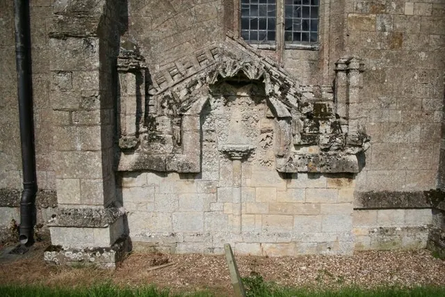
© Richard Croft · Geograph · CC BY-SA 2.0
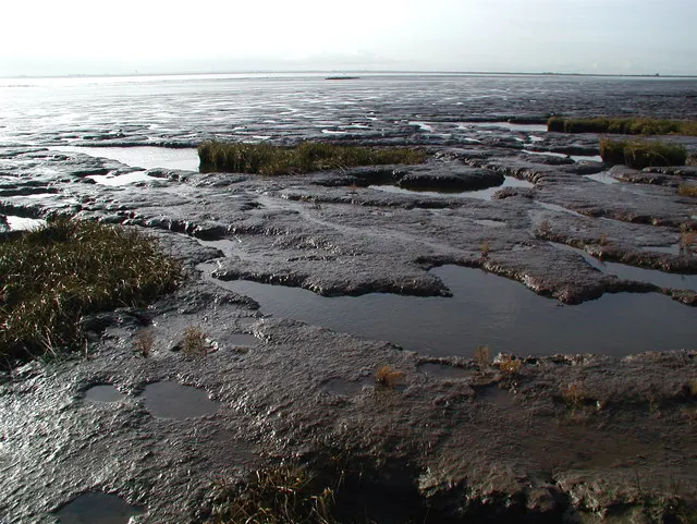
© Paul Glazzard · Geograph · CC BY-SA 2.0
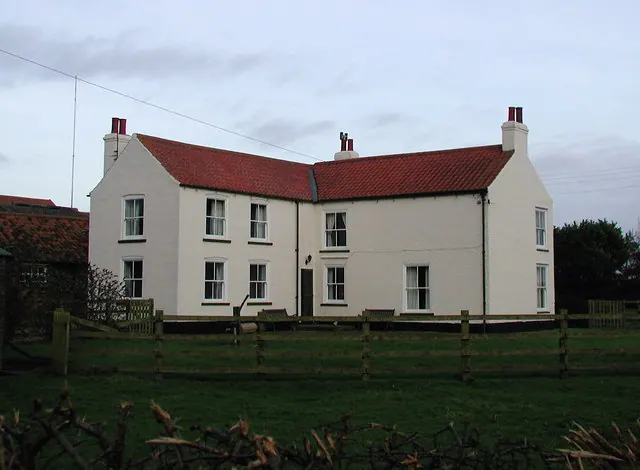
© Paul Glazzard · Geograph · CC BY-SA 2.0
Images © their respective photographers, licensed under CC BY-SA 2.0 and reused here with attribution. Photographs depict listed buildings, churches and monuments near this settlement and may show neighbouring villages.
Location
53.6724°N, 0.0363°E · Holderness [South Hundred] hundred, Yorkshire
View larger map on OpenStreetMap →Data derived from the Open Domesday project (opendomesday.org), based on the Domesday Book dataset compiled by Professor J.J.N. Palmer and team. The Domesday Book (1086) is in the public domain.
Found an inaccuracy? [email protected]