Welton in the Domesday Book (1086)
Welton appears in the Domesday Book of 1086, entered under the hundred of Welton in Yorkshire.
Other Settlements in Welton
- Bentley
- Brantingham
- Brantingham [Thorpe]
- Cottingham
- Ellerker
- Elloughton
- Lund
- Pillwoods [Farm]
- Risby
- Skidby
- Toschetorp
- Walkington
- Wauldby
- [Little] Weighton
The Meaning of the Name
The name Welton is of Anglo-Saxon origin. Its final element derives from the Old English word tūn, a farmstead or village, while the first element appears to represent a spring. Taken together the name probably meant something close to ’the a spring farmstead’.
Remarkably, the name has changed little since 1086, when the Domesday scribes wrote it as Welton.
Listed Buildings Near Welton
Historic England records 31 listed buildings within about a mile of Welton. Listing protects structures of special architectural or historic interest, graded I (exceptional), II* (particularly important) and II.
Grade II*
- Welton Grange - 0.28 km
- Church of St Helen - 0.33 km
Grade II
- Welton Manor - 0.18 km
- Welton Hill - 0.18 km
- Gates and Gate Piers to Welton Hill - 0.22 km
- Barn House - 0.26 km
- Green Dragon Public House - 0.26 km
- Memorial Hall - 0.27 km
- 30 and 32, Cowgate - 0.28 km
- The Fountain and Basin - 0.28 km
- Pair of Cottages About 15 Metres East of Green Dragon Public House - 0.29 km
- Hawthorne House - 0.29 km
- 4, the Green - 0.3 km
- 9, the Green - 0.31 km
- Shaws House - 0.34 km
- Welton Hall - 0.34 km
- 2, Church Street - 0.35 km
- 14 and 16, Church Street - 0.36 km
- Gates and Gate Piers to Welton Hall - 0.37 km
- The Cottage - 0.39 km
- Creyke Lodge - 0.39 km
- 3, Ladywellgate - 0.41 km
- Welton Garth - 0.41 km
- Welton Lodge - 0.41 km
…and 7 more listed structures in the area.
Welton Today
Today Welton lies within the administrative area of East Riding of Yorkshire, and the settlement recorded a population of 2,831 at the 2021 census. Nine and a half centuries separate that figure from the small rural community the Domesday survey recorded here in 1086.
Read more about modern Welton on Wikipedia .
Nearby Domesday Settlements
Other places recorded in the 1086 survey within a few miles:
- Elloughton - 1.4 km NW
- Wauldby - 2.2 km NE
- Brantingham - 2.2 km NW
- Brantingham Thorpe - 2.2 km NW
- Toschetorp - 2.2 km NW
- North Ferriby - 3.2 km E
Heritage Around Welton
Photographs of churches, listed buildings and monuments in the vicinity, contributed by volunteers to the Geograph project and reused here under a Creative Commons licence.
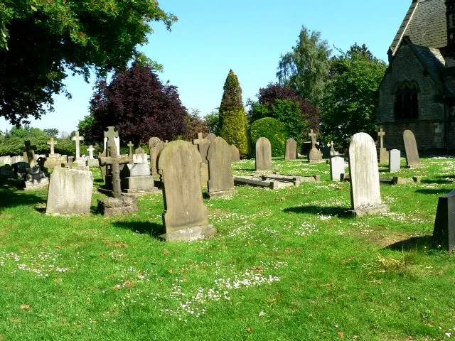
© Roger Gilbertson · Geograph · CC BY-SA 2.0
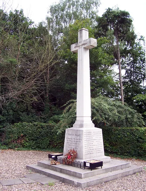
© David Wright · Geograph · CC BY-SA 2.0
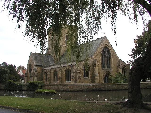
© Andy Beecroft · Geograph · CC BY-SA 2.0
Images © their respective photographers, licensed under CC BY-SA 2.0 and reused here with attribution. Photographs depict listed buildings, churches and monuments near this settlement and may show neighbouring villages.
Data derived from the Open Domesday project (opendomesday.org), based on the Domesday Book dataset compiled by Professor J.J.N. Palmer and team. The Domesday Book (1086) is in the public domain.
Found an inaccuracy? [email protected]