Weaverham in the Domesday Book (1086)
Weaverham is named in the Domesday Book, compiled by Norman commissioners in 1086, entered under the hundred of Ruloe in Cheshire.
Other Settlements in Ruloe
- Aldredelie
- Alvanley
- Conersley
- Done
- Dunham [on the Hill]
- Eddisbury
- Elton
- Frodsham
- Hartford
- Helsby
- Ince
- Kingsley
- Manley
- Thornton [le Moors]
The Meaning of the Name
The name Weaverham is of Anglo-Saxon origin. Its final element derives from the Old English word hām, a homestead or village. The first element is most likely a personal name or an early descriptive term, now difficult to recover with certainty. Taken together the name probably meant something close to ‘a homestead’.
Remarkably, the name has changed little since 1086, when the Domesday scribes wrote it as Weaverham.
Listed Buildings Near Weaverham
Historic England records 23 listed buildings within about a mile of Weaverham. Listing protects structures of special architectural or historic interest, graded I (exceptional), II* (particularly important) and II.
Grade I
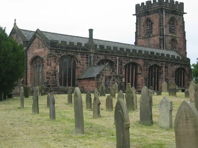
- Church of St Mary - 0.78 km
Grade II*
Grade II
- The Old Grammar School - 0.62 km
- 42, Forest Street - 0.65 km
- Methodist Church - 0.68 km
- Poplar Cottage - 0.68 km
- 3 and 5, High Street - 0.69 km
- The Wheatsheaf Hotel - 0.71 km
- 6 and 8, Church Street - 0.72 km
- 3 and 5, Church Lane - 0.72 km
- 13, High Street - 0.72 km
- 12, High Street - 0.73 km
- Corstage Farmhouse - 0.73 km
- 14 and 16, High Street - 0.74 km
- Raintub Cottage - 0.76 km
- Weaverham War Memorial - 0.77 km
- Ivy House - 0.79 km
- 24, West Road - 0.93 km
- Icehouse 35 Metres East of Hefferston Grange - 1.13 km
- Grangelane Farmhouse - 1.2 km
- Barn 20 Metres West of Hodge Lane Farmhouse - 1.2 km
- Former Stables at Hefferton Grange - 1.22 km
- Hodge Lane Farmhouse - 1.22 km
Nearby Domesday Settlements
Other places recorded in the 1086 survey within a few miles:
- Little Leigh - 2.0 km N
- Hartford - 2.2 km SE
- Conersley - 2.8 km SE
- Winnington - 3.2 km E
- Bartington - 3.2 km N
- Northwich - 4.0 km E
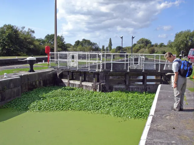
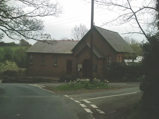
Heritage Around Weaverham
Photographs of churches, listed buildings and monuments in the vicinity, contributed by volunteers to the Geograph project and reused here under a Creative Commons licence.
© Lizzie · Geograph · CC BY-SA 2.0
© Mike Harris · Geograph · CC BY-SA 2.0
© Jo Lxix · Geograph · CC BY-SA 2.0
Images © their respective photographers, licensed under CC BY-SA 2.0 and reused here with attribution. Photographs depict listed buildings, churches and monuments near this settlement and may show neighbouring villages.
Data derived from the Open Domesday project (opendomesday.org), based on the Domesday Book dataset compiled by Professor J.J.N. Palmer and team. The Domesday Book (1086) is in the public domain.
Found an inaccuracy? [email protected]