Weardley in the Domesday Book (1086)
The settlement of Weardley is recorded in William I’s Domesday survey of 1086, entered under the hundred of Skyrack in Yorkshire.
Other Settlements in Skyrack
- Adel
- Allerton [Bywater]
- Alwoodley
- Arthington
- Austhorpe
- Baildon
- Bardsey
- Barwick [in Elmet]
- Bichertun
- Bicherun
- Bingley
- Birkby [Hill]
- Bramhope
- Burden [Head]
The Meaning of the Name
The name Weardley is of Anglo-Saxon origin. Its final element derives from the Old English word lēah, a woodland clearing or glade. The first element is most likely a personal name or an early descriptive term, now difficult to recover with certainty. Taken together the name probably meant something close to ‘a clearing’.
Remarkably, the name has changed little since 1086, when the Domesday scribes wrote it as Weardley.
Listed Buildings Near Weardley
Historic England records 29 listed buildings within about a mile of Weardley. Listing protects structures of special architectural or historic interest, graded I (exceptional), II* (particularly important) and II.
Grade II*
- The Nunnery - 0.99 km
Grade II
- Milestone at Junction With Weardley Lane - 0.22 km
- Milestone at Junction With Eccup Lane - 0.25 km
- High Lodge - 0.3 km
- Low Lodge - 0.37 km
- Milestone Approximately 375 Metres West of Junction Weardley Lane - 0.71 km
- Lady Bridge - 0.76 km
- Stable Midway Between Hawkes Farm and Lady Bridge - 0.87 km
- Stank Cottages and Linking Outbuildings - 0.9 km
- Stank Cottages - 0.95 km
- Stank Cottages and Attached Linking Outbuilding - 0.96 km
- The Head Gardener’s House - 1.0 km
- Dovecote Approximately 20 Metres North West of the Nunnery - 1.02 km
- Carr House Barn - 1.03 km
- Home Farm buildings forming a quadrangle - 1.06 km
- Bridge Across Stank Beck Approximately 50 Metres South of Hawkes Farmhouse - 1.07 km
- Walls to Triangular Garden - 1.07 km
- Ice House and Dovecote Near Weir by Stank Beck - 1.1 km
- Barn Approximately 15 Metres West of Hawks House - 1.1 km
- Barn to North of Granary at Stanks Farm - 1.1 km
- Farmbuilding With Cartshed to Rear and Attached Stable, Set Within Quadrangle of Home Farm Building - 1.1 km
- Granary at Stanks Farm - 1.11 km
- Home Farmhouse - 1.14 km
- Sundial in the Rock Garden - 1.15 km
…and 5 more listed structures in the area.
Weardley Today
Today Weardley lies within the administrative area of Harewood.
Read more about modern Weardley on Wikipedia .
Nearby Domesday Settlements
Other places recorded in the 1086 survey within a few miles:
- Burden Head - 1.0 km S
- Stub House - 1.4 km SE
- Arthington - 2.0 km W
- Dunkeswick - 2.2 km NE
- Eccup - 2.2 km SW
- Weeton - 2.2 km NW
Heritage Around Weardley
Photographs of churches, listed buildings and monuments in the vicinity, contributed by volunteers to the Geograph project and reused here under a Creative Commons licence.
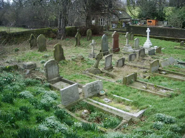
© Alexander P Kapp · Geograph · CC BY-SA 2.0
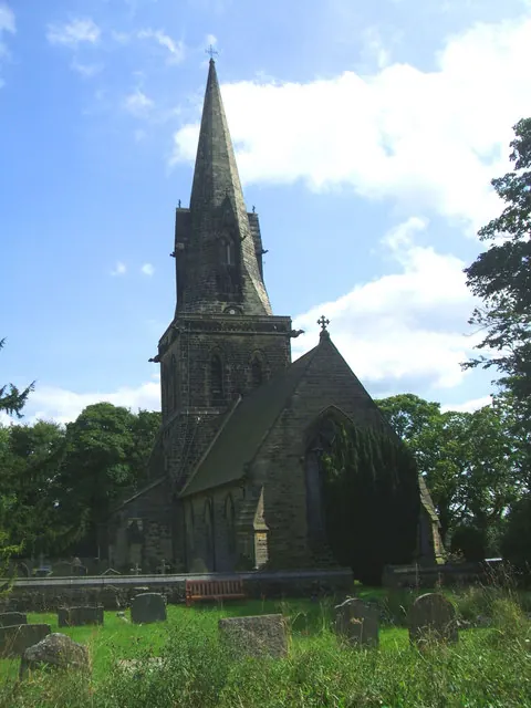
© Bill Henderson · Geograph · CC BY-SA 2.0
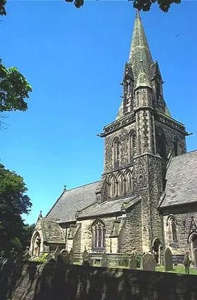
© Bill Henderson · Geograph · CC BY-SA 2.0
Images © their respective photographers, licensed under CC BY-SA 2.0 and reused here with attribution. Photographs depict listed buildings, churches and monuments near this settlement and may show neighbouring villages.
Data derived from the Open Domesday project (opendomesday.org), based on the Domesday Book dataset compiled by Professor J.J.N. Palmer and team. The Domesday Book (1086) is in the public domain.
Found an inaccuracy? [email protected]