Wawne in the Domesday Book (1086)
Wawne appears in the Domesday Book of 1086, entered under the hundred of Holderness [Middle Hundred] in Yorkshire. The survey assessed Wawne at 10 carucates of taxable land.
At the time of the survey, Wawne supported a recorded population of 10 villagers, 8 smallholders, 3 slaves, working 8 ploughs between them.
The numbers record a sharp fall. Before 1066, Wawne was worth 10 shillings; by 1086 that had dropped to 6.5 shillings – a fall of 35%. Most Yorkshire villages that lost value on this scale were swept up in the Harrying of the North – William’s scorched-earth campaign of 1069–70.
The survey lists 2 manors at Wawne under different lords. Splitting a single settlement between multiple tenants was common across the North – Saxon estates broken up and handed to William’s followers after 1066.
Resources Recorded at Wawne (1086)
- Fisheries: 4
- Meadow: 20 acres
- Woodland: 70 swine render
Other Settlements in Holderness [Middle Hundred]
- Aldbrough
- Benningholme [Hall]
- Bewick [Hall]
- Bilton
- Burton [Constable]
- Burton [Pidsea]
- Conis[ton]
- Danthorpe
- Dowthorpe [Hall]
- Drypool
- Ellerby
- Elstronwick
- Eske
- Etherdwick
The Meaning of the Name
The origin of the name Wawne is not securely established from its modern form alone; like many settlement names in the North it likely combines an Old English or Old Norse personal name with a landscape term.
Remarkably, the name has changed little since 1086, when the Domesday scribes wrote it as Wawne.
Listed Buildings Near Wawne
Historic England records 5 listed buildings within about a mile of Wawne. Listing protects structures of special architectural or historic interest, graded I (exceptional), II* (particularly important) and II.
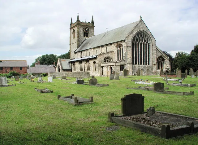
Grade I
- Church of St Peter - 0.6 km
Grade II
- Grange Croft Farmhouse and Outbuilding to Right - 0.4 km
- K8 Telephone Kiosk, Main Street, Wawne - 0.52 km
- 4, Main Street - 0.58 km
- Bamforth Farm - 1.3 km
Scheduled Monuments Near Wawne
Scheduled monuments are nationally important archaeological sites given legal protection. 1 lies within roughly a mile of Wawne:
- Moated monastic grange site and fishponds in Paradise Wood, 630m north west of Carlam Hill Farm - 0.65 km
Wawne Today
Today Wawne lies within the administrative area of East Riding of Yorkshire, and the settlement recorded a population of 1,023 at the 2021 census. Nine and a half centuries separate that figure from the small rural community the Domesday survey recorded here in 1086.
Read more about modern Wawne on Wikipedia .
Nearby Domesday Settlements
Other places recorded in the 1086 survey within a few miles:
- Meaux - 4.0 km N
- Swine - 4.1 km E
- Benningholme Hall - 4.2 km NE
- Weel - 4.2 km NW
- Sutton on Hull - 4.5 km SE
- Pillwoods Farm - 5.4 km W
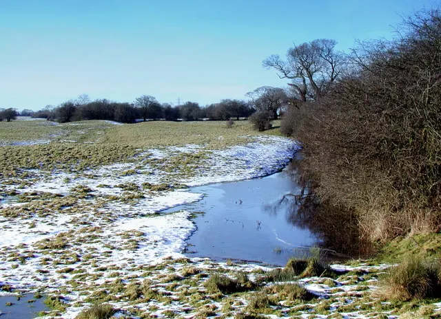
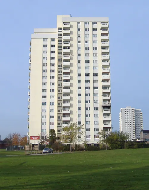
Heritage Around Wawne
Photographs of churches, listed buildings and monuments in the vicinity, contributed by volunteers to the Geograph project and reused here under a Creative Commons licence.
© Paul Glazzard · Geograph · CC BY-SA 2.0
© Paul Harrop · Geograph · CC BY-SA 2.0
© Paul Glazzard · Geograph · CC BY-SA 2.0
Images © their respective photographers, licensed under CC BY-SA 2.0 and reused here with attribution. Photographs depict listed buildings, churches and monuments near this settlement and may show neighbouring villages.
Location
53.8130°N, -0.3367°W · Holderness [Middle Hundred] hundred, Yorkshire
View larger map on OpenStreetMap →Data derived from the Open Domesday project (opendomesday.org), based on the Domesday Book dataset compiled by Professor J.J.N. Palmer and team. The Domesday Book (1086) is in the public domain.
Found an inaccuracy? [email protected]