Wath upon Dearne in the Domesday Book (1086)
Wath upon Dearne is named in the Domesday Book, compiled by Norman commissioners in 1086, entered under the hundred of Strafforth in Yorkshire. The survey assessed Wath upon Dearne at 2.8 carucates of taxable land.
At the time of the survey, Wath upon Dearne supported a recorded population of 3 villagers, working 1 plough between them.
The survey records Wath upon Dearne’s value at 5d in 1086. No pre-Conquest figure survives – not unusual in the North, where records were disrupted by the Harrying and by the patchy coverage of the survey.
Resources Recorded at Wath upon Dearne (1086)
- Cattle: 15
- Pigs: 6
- Sheep: 110
Other Settlements in Strafforth
- Adwick [le Street]
- Adwick [upon Dearne]
- Armthorpe
- Aston
- Attercliffe
- Auckley
- Aughton [Hall]
- Austerfield
- Balby
- Barnbrough
- Barnby [Dun]
- Bentley
- Bilham [House]
- Billingley
The Meaning of the Name
The origin of the name Wath upon Dearne is not securely established from its modern form alone; like many settlement names in the North it likely combines an Old English or Old Norse personal name with a landscape term.
Remarkably, the name has changed little since 1086, when the Domesday scribes wrote it as Wath upon Dearne.
Listed Buildings Near Wath upon Dearne
Historic England records 20 listed buildings within about a mile of Wath upon Dearne. Listing protects structures of special architectural or historic interest, graded I (exceptional), II* (particularly important) and II.
Grade I
- Church of All Saints - 0.55 km
Grade II
- 44 and 46 Sandygate - 0.28 km
- 34, Sandygate - 0.31 km
- Church House - 0.33 km
- 2,2A,2b,2c,4a,4b and 4C, High Street - 0.36 km
- Cart Shed Approximately 15 Metres to Rear of Number 22 - 0.36 km
- 25 and 27, Church Street - 0.4 km
- 54 and 56, High Street - 0.47 km
- Town Hall - 0.51 km
- Mausoleum on East Side of Newhill Park - 0.54 km
- Thornhill Farmhouse - 0.58 km
- Old Parish Lock Up - 0.59 km
- Brook Farmhouse - 0.6 km
- Roman Catholic Church of St Joseph and Presbytery and boundary wall - 0.6 km
- Dovecote and Cowhouse Approximately 15 Metres to North West of Brook Farmhouse - 0.63 km
- Hall Farmhouse - 0.83 km
- Newhill Grange Farmhouse - 0.97 km
- Wet Moor Bridge - 1.01 km
- 131-133, Melton High Street - 1.18 km
- Barn to the north of Nos 143 and 145, Melton High Street - 1.23 km
Scheduled Monuments Near Wath upon Dearne
Scheduled monuments are nationally important archaeological sites given legal protection. 1 lies within roughly a mile of Wath upon Dearne:
Wath upon Dearne Today
Today Wath upon Dearne lies within the administrative area of Rotherham, and the settlement recorded a population of 16,964 at recent figures. Nine and a half centuries separate that figure from the small rural community the Domesday survey recorded here in 1086.
Read more about modern Wath upon Dearne on Wikipedia .
Nearby Domesday Settlements
Other places recorded in the 1086 survey within a few miles:
- Newhill - 1.0 km S
- West Melton - 1.4 km NW
- Swinton - 2.2 km SE
- Brampton Bierlow - 2.2 km NW
- Eldeberge - 2.2 km NW
- Bolton upon Dearne - 2.8 km NE
Heritage Around Wath [upon Dearne]
Photographs of churches, listed buildings and monuments in the vicinity, contributed by volunteers to the Geograph project and reused here under a Creative Commons licence.
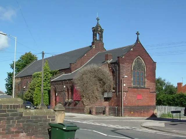
© David Wilkinson · Geograph · CC BY-SA 2.0
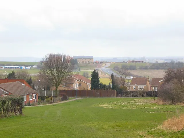
© Roger May · Geograph · CC BY-SA 2.0
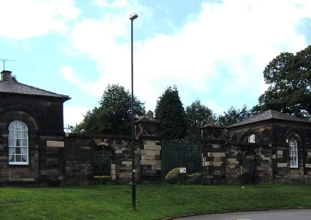
© Pat Cresswell · Geograph · CC BY-SA 2.0
Images © their respective photographers, licensed under CC BY-SA 2.0 and reused here with attribution. Photographs depict listed buildings, churches and monuments near this settlement and may show neighbouring villages.
Data derived from the Open Domesday project (opendomesday.org), based on the Domesday Book dataset compiled by Professor J.J.N. Palmer and team. The Domesday Book (1086) is in the public domain.
Found an inaccuracy? [email protected]