Wath in the Domesday Book (1086)
The 1086 Domesday survey records the settlement of Wath, entered under the hundred of Maneshou in Yorkshire.
Other Settlements in Maneshou
- Amotherby
- Ampleforth
- Appleton [le Street]
- Beadlam
- Brawby
- Broughton
- Cawton
- Coulton
- Fadmoor
- Fryton
- Gillamoor
- Gilling [East]
- Griff [Farm]
- Grimston
The Meaning of the Name
The origin of the name Wath is not securely established from its modern form alone; like many settlement names in the North it likely combines an Old English or Old Norse personal name with a landscape term.
Remarkably, the name has changed little since 1086, when the Domesday scribes wrote it as Wath.
Listed Buildings Near Wath
Historic England records 50 listed buildings within about a mile of Wath. Listing protects structures of special architectural or historic interest, graded I (exceptional), II* (particularly important) and II.
Grade II
- Coach House to Worsley Arms Hotel - 0.8 km
- Worsley Arms Hotel - 0.83 km
- Worsley Arms Farmhouse and Cottage - 0.84 km
- The Stone House - 0.84 km
- Lumley House - 0.84 km
- The Post Office - 0.87 km
- Restaurant Myse and Home Cottage - 0.87 km
- Wicket Gate Cottage and Sunnyside - 0.87 km
- The Corner House - 0.88 km
- Pasture House - 0.88 km
- Manor Farmhouse - 0.88 km
- 2, Park Street - 0.89 km
- Coatesworth House - 0.9 km
- 4, Park Street - 0.9 km
- K6 Telephone Kiosk - 0.91 km
- The Village School and Schoolmaster’s House and Railings Around Property - 0.91 km
- Clifford House - 0.91 km
- Fosters - 0.92 km
- Holmside - 0.92 km
- Hall Green Cottage and Stables - 0.93 km
- 10, Park Street - 0.93 km
- The Post Cottage - 0.93 km
- House Immediately to East of Beckside Cottage - 0.93 km
- Beckside Cottage - 0.94 km
…and 26 more listed structures in the area.
Scheduled Monuments Near Wath
Scheduled monuments are nationally important archaeological sites given legal protection. 1 lies within roughly a mile of Wath:
Wath Today
Today Wath lies within the administrative area of Hovingham.
Read more about modern Wath on Wikipedia .
Nearby Domesday Settlements
Other places recorded in the 1086 survey within a few miles:
- Hawade - 0.0 km N
- Fryton - 1.0 km E
- Hovingham - 1.0 km W
- Slingsby - 2.2 km SE
- Stonegrave - 2.8 km NW
- Howthorpe Farm - 3.0 km S
Heritage Around Wath
Photographs of churches, listed buildings and monuments in the vicinity, contributed by volunteers to the Geograph project and reused here under a Creative Commons licence.
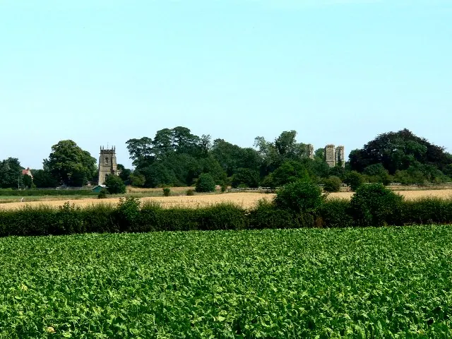
© Roger Gilbertson · Geograph · CC BY-SA 2.0
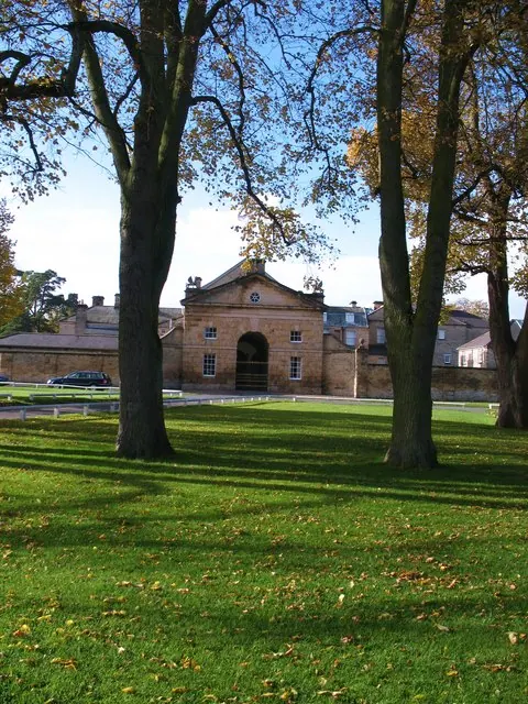
© Gordon Hatton · Geograph · CC BY-SA 2.0
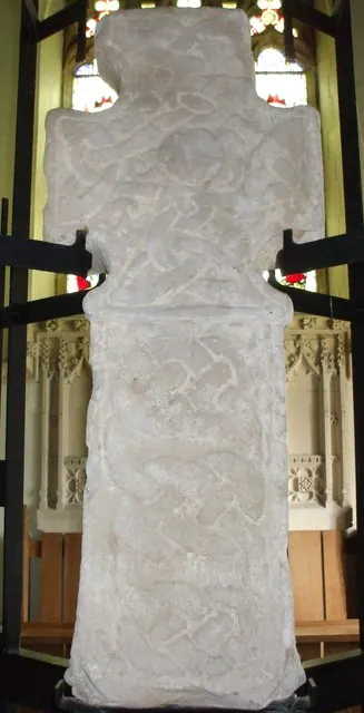
© Matthew Hatton · Geograph · CC BY-SA 2.0
Images © their respective photographers, licensed under CC BY-SA 2.0 and reused here with attribution. Photographs depict listed buildings, churches and monuments near this settlement and may show neighbouring villages.
Data derived from the Open Domesday project (opendomesday.org), based on the Domesday Book dataset compiled by Professor J.J.N. Palmer and team. The Domesday Book (1086) is in the public domain.
Found an inaccuracy? [email protected]