Wath in the Domesday Book (1086)
The 1086 Domesday survey records the settlement of Wath, entered under the hundred of Land of Count Alan in Yorkshire.
Other Settlements in Land of Count Alan
- Achebi
- Agglethorpe
- Ainderby [Mires]
- Ainderby [Quernhow]
- Aiskew
- Aldbrough
- Allerthorpe [Hall]
- Ascam
- Ascham
- Asebi
- Aske [Hall]
- Askrigg
- Aysgarth
- Baldersby
The Meaning of the Name
The origin of the name Wath is not securely established from its modern form alone; like many settlement names in the North it likely combines an Old English or Old Norse personal name with a landscape term.
Remarkably, the name has changed little since 1086, when the Domesday scribes wrote it as Wath.
Listed Buildings Near Wath
Historic England records 20 listed buildings within about a mile of Wath. Listing protects structures of special architectural or historic interest, graded I (exceptional), II* (particularly important) and II.
Grade II*
- Church of St Mary - 0.34 km
- Gateway Adjacent to Wath Lodge - 0.74 km
Grade II
- Table Tomb Approximately 2 Metres From East End of Church of St Mary - 0.33 km
- Chest Tomb Approximately 5 Metres South of South Door of Church of St Mary - 0.35 km
- Overthrow With Lamp Holder Over South Gateway to Church of St Mary - 0.35 km
- Font in Graveyard of Church of St Mary, Against West Wall of South Transept - 0.35 km
- Sundial in Graveyard of Church of St Mary, Approximately 6 Metres South of South Door - 0.35 km
- Gates and Gate Piers, the Rectory - 0.36 km
- Overthrow With Lamp Holder Over West Gateway to Church of St Mary - 0.36 km
- The Rectory - 0.37 km
- Garage Approximately 2 Metres West of Grammar School - 0.45 km
- The Grammar School - 0.45 km
- K6 Telephone Kiosk - 0.45 km
- Ivy House - 0.57 km
- Wath Lodge - 0.73 km
- The Old House - 1.13 km
- The Old Hall - 1.15 km
- Boundary Wall With Gate-piers to Old Hall - 1.16 km
- Ivy House - 1.23 km
- North Farmhouse - 1.27 km
Scheduled Monuments Near Wath
Scheduled monuments are nationally important archaeological sites given legal protection. 1 lies within roughly a mile of Wath:
- Middleton Quernhow Hall - 1.14 km
Wath Today
Today Wath lies within the administrative area of Harrogate, and the settlement recorded a population of 237 at the 2021 census. Nine and a half centuries separate that figure from the small rural community the Domesday survey recorded here in 1086.
Read more about modern Wath on Wikipedia .
Nearby Domesday Settlements
Other places recorded in the 1086 survey within a few miles:
- Melmerby - 1.0 km E
- Middleton Quernhow - 1.4 km NE
- Norton Conyers - 1.4 km SW
- Howgrave - 2.2 km NW
- Sutton Howgrave - 2.2 km NW
- Upsland - 2.8 km NW
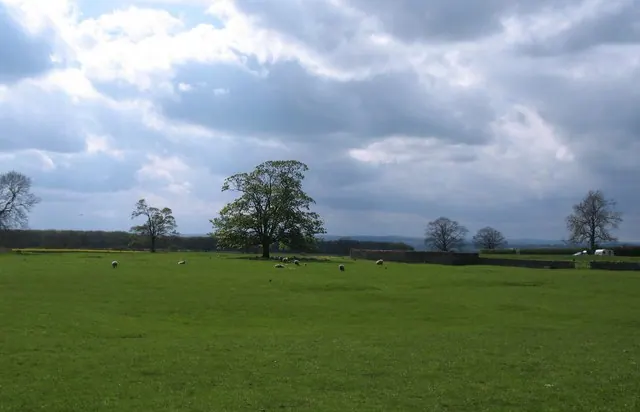
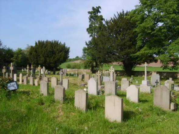
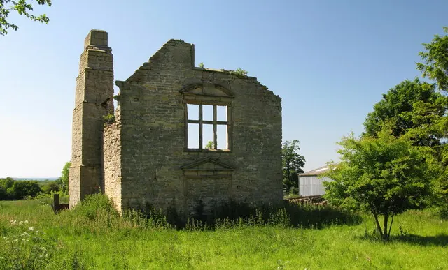
Heritage Around Wath
Photographs of churches, listed buildings and monuments in the vicinity, contributed by volunteers to the Geograph project and reused here under a Creative Commons licence.
© Gordon Hatton · Geograph · CC BY-SA 2.0
© William Metcalfe · Geograph · CC BY-SA 2.0
© David Rogers · Geograph · CC BY-SA 2.0
Images © their respective photographers, licensed under CC BY-SA 2.0 and reused here with attribution. Photographs depict listed buildings, churches and monuments near this settlement and may show neighbouring villages.
Location
54.1920°N, -1.5018°W · Land of Count Alan hundred, Yorkshire
View larger map on OpenStreetMap →Data derived from the Open Domesday project (opendomesday.org), based on the Domesday Book dataset compiled by Professor J.J.N. Palmer and team. The Domesday Book (1086) is in the public domain.
Found an inaccuracy? [email protected]