Warton in the Domesday Book (1086)
Warton is named in the Domesday Book, compiled by Norman commissioners in 1086, entered under the hundred of Amounderness in Yorkshire.
Other Settlements in Amounderness
- Aighton
- Aldcliffe
- Aldingham
- Arkholme
- Aschebi
- Ashton [Hall]
- Ashton [on Ribble]
- Austwick
- Barbon
- Bardsea
- Bare
- Barnoldswick
- Barton
- Beetham
The Meaning of the Name
The name Warton is of Anglo-Saxon origin. Its final element derives from the Old English word tūn, a farmstead or village. The first element is most likely a personal name or an early descriptive term, now difficult to recover with certainty. Taken together the name probably meant something close to ‘a farmstead’.
Remarkably, the name has changed little since 1086, when the Domesday scribes wrote it as Warton.
Listed Buildings Near Warton
Historic England records 24 listed buildings within about a mile of Warton. Listing protects structures of special architectural or historic interest, graded I (exceptional), II* (particularly important) and II.
Grade I
- St Oswald Vicarage - 0.36 km
- Old Rectory - 0.36 km
Grade II
- Limekiln, 250 Metres West of Junction With Main Street - 0.08 km
- The George Washington Inn - 0.26 km
- Windsor House - 0.29 km
- Church of St. Oswald - 0.29 km
- Beech House - 0.3 km
- 105, Main Street - 0.31 km
- Washington House - 0.31 km
- Warton Hall Farmhouse - 0.32 km
- Yew Tops Cottage - 0.33 km
- No. 115 and Barn Adjoining to South-west - 0.36 km
- 148, Main Street - 0.37 km
- 61 and 63, Main Street - 0.37 km
- 150 and 152, Main Street - 0.38 km
- 68, 70 and 72, Main Street - 0.39 km
- 78, Main Street - 0.39 km
- 74 and 76, Main Street - 0.39 km
- 5, Main Street - 0.42 km
- 170, Main Street - 0.42 km
- 168, Main Street - 0.42 km
- Tudor Cottage - 0.65 km
- Boon Town Farmhouse - 0.71 km
- Keer Bridge House - 1.21 km
Scheduled Monuments Near Warton
Scheduled monuments are nationally important archaeological sites given legal protection. 4 lie within roughly a mile of Warton:
- Warton Old Rectory - 0.35 km
- Warton Crag small multivallate hillfort - 0.56 km
- Dog Holes Cave - 1.37 km
- Badger Hole, Warton Crag - 1.45 km
Warton Today
Today Warton lies within the administrative area of Lancaster, and the settlement recorded a population of 2,325 at the 2021 census. Nine and a half centuries separate that figure from the small rural community the Domesday survey recorded here in 1086.
Read more about modern Warton on Wikipedia .
Nearby Domesday Settlements
Other places recorded in the 1086 survey within a few miles:
- Carnforth - 2.0 km S
- Borwick - 3.2 km E
- Yealand Conyers and Redmayne - 3.2 km N
- Nether and Over Kellet - 3.6 km SE
- Priest Hutton - 4.1 km E
- Bolton le Sands - 5.1 km S
Heritage Around Warton
Photographs of churches, listed buildings and monuments in the vicinity, contributed by volunteers to the Geograph project and reused here under a Creative Commons licence.
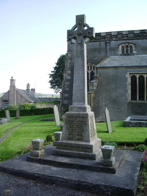
© Alexander P Kapp · Geograph · CC BY-SA 2.0
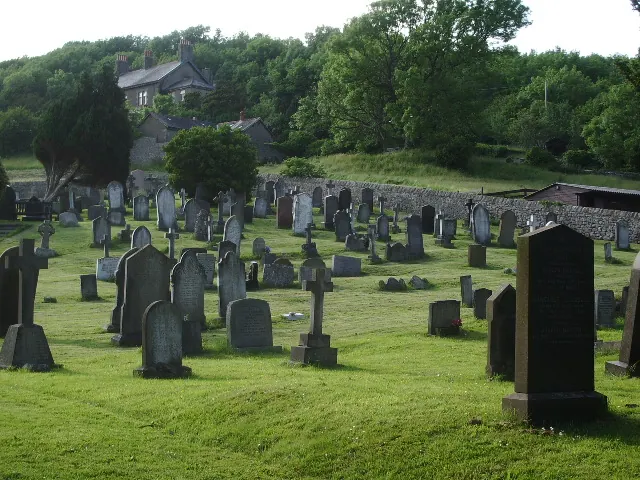
© Alexander P Kapp · Geograph · CC BY-SA 2.0
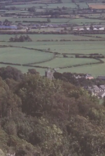
© N T Stobbs · Geograph · CC BY-SA 2.0
Images © their respective photographers, licensed under CC BY-SA 2.0 and reused here with attribution. Photographs depict listed buildings, churches and monuments near this settlement and may show neighbouring villages.
Data derived from the Open Domesday project (opendomesday.org), based on the Domesday Book dataset compiled by Professor J.J.N. Palmer and team. The Domesday Book (1086) is in the public domain.
Found an inaccuracy? [email protected]