Warrington in the Domesday Book (1086)
Warrington is named in the Domesday Book, compiled by Norman commissioners in 1086, entered under the hundred of Warrington in Cheshire.
The Meaning of the Name
The name Warrington is of Anglo-Saxon origin. Its final element derives from the Old English word tūn, a farmstead or village. The first element is most likely a personal name or an early descriptive term, now difficult to recover with certainty. Taken together the name probably meant something close to ‘a farmstead’.
Remarkably, the name has changed little since 1086, when the Domesday scribes wrote it as Warrington.
Listed Buildings Near Warrington
Historic England records 116 listed buildings within about a mile of Warrington. Listing protects structures of special architectural or historic interest, graded I (exceptional), II* (particularly important) and II.
Grade II*
- Ye Olde Barley Mow Public House (Excluding the Side Facade) - 0.17 km
- Ye Olde Barley Mow Public House (Only the Side Facade) - 0.18 km
- Church of the Holy Trinity - 0.3 km
Grade II
- National Westminster Bank - 0.08 km
- 3 and 5, Winwick Street - 0.09 km
- King’s Head Public House - 0.09 km
- Theatre Tavern - 0.1 km
- 39-49, Bewsey Road - 0.12 km
- 46, 48, 48A AND 50, HORSEMARKET CHAMBERS (See details for further address information) - 0.14 km
- 51-61, Bewsey Road - 0.16 km
- Blue Bell Inn - 0.17 km
- 63-67, Bewsey Road - 0.19 km
- 13, Market Place - 0.19 km
- Premises of W A Boulting Ltd - 0.21 km
- Former Fish Market - 0.21 km
- 9-11, Market Place - 0.21 km
- 8, Market Place - 0.22 km
- Three Pigeons Public House - 0.23 km
- Roman Catholic Church of St Alban - 0.25 km
- St Albans Roman Catholic Presbytery - 0.25 km
- Cheshire Lines Committee Warehouse - 0.28 km
- 93, Bewsey Street - 0.29 km
- Telephone Kiosks at East End of Church of the Holy Trinity - 0.29 km
- 1, Froghall Lane - 0.3 km
…and 92 more listed structures in the area.
Scheduled Monuments Near Warrington
Scheduled monuments are nationally important archaeological sites given legal protection. 1 lies within roughly a mile of Warrington:
- Bank Quay transporter bridge - 1.24 km
Warrington Today
Today Warrington records a population of 165,456 at the 2011 census. Nine and a half centuries separate that figure from the small rural community the Domesday survey recorded here in 1086.
Read more about modern Warrington on Wikipedia .
Nearby Domesday Settlements
Other places recorded in the 1086 survey within a few miles:
- Winwick - 4.0 km N
- Grappenhall - 4.2 km SE
- Appleton - 5.8 km SE
- Newton le Willows - 7.1 km N
- Lymm - 7.3 km E
- Eanley - 8.1 km SW
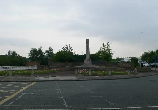
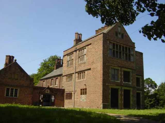
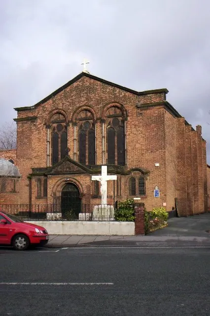
Heritage Around Warrington
Photographs of churches, listed buildings and monuments in the vicinity, contributed by volunteers to the Geograph project and reused here under a Creative Commons licence.
© Eirian Evans · Geograph · CC BY-SA 2.0
© Sue Adair · Geograph · CC BY-SA 2.0
© S Parish · Geograph · CC BY-SA 2.0
Images © their respective photographers, licensed under CC BY-SA 2.0 and reused here with attribution. Photographs depict listed buildings, churches and monuments near this settlement and may show neighbouring villages.
Data derived from the Open Domesday project (opendomesday.org), based on the Domesday Book dataset compiled by Professor J.J.N. Palmer and team. The Domesday Book (1086) is in the public domain.
Found an inaccuracy? [email protected]